
Migeon, J. (sold)

J. Migeon (fl. c. 1855 - 1899) was a late 19th century map publisher based in Paris, France. At various times Migeon maintained offices at76, Rue de la Harpe, 34 Rue du Chemin des Plantes, and 11 Rue du Moulin Vert, all in Paris. His most prominent publications are the Geographie Universal in 1854 (updated through 1874) and the Nouvel Atlas Illustré de Géographie Universelle in 1891. Little is known of Migeon's life and even his first name is uncertain.
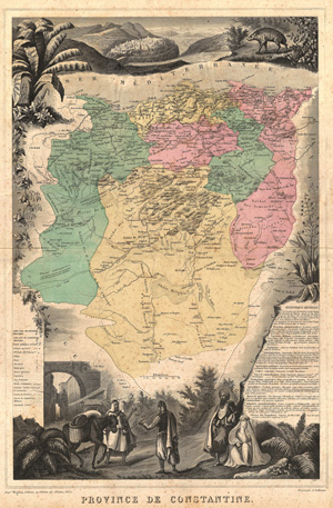
Province De Constantine.
sold
- Digital Map Information
- Suitable for large format printing
- File Size: 16.06 MB
- File Type: ZIP / TIFF
- ICC color profile embedded
- Delivered instantly via download link
Beautiful, lushly exotic illustrations of flora, fauna and people border this highly detailed, colored 1870 map of colonial Algeria, or 'Province De Constantine.' Extends from the Mediterranean so to include parts of the Atlas Mountains and the ... (more details)
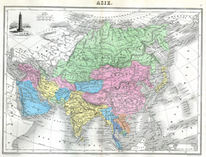
Asie.
sold
- Digital Map Information
- Suitable for large format printing
- File Size: 2.99 MB
- File Type: ZIP / TIFF
- ICC color profile embedded
- Delivered instantly via download link
This hand colored map of Asia is a steel plate engraving, dating to 1875 by the well regarded French cartographer Migeon. Decorated by a beautiful illustration of a porcelain tower at Nanjing, now like so many of China's historic monuments, ... (more details)
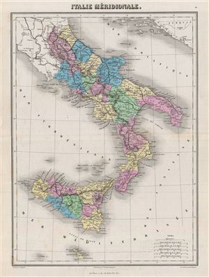
Italie Merdionale.
sold
- Digital Map Information
- Suitable for large format printing
- File Size: 8.32 MB
- File Type: ZIP / TIFF
- ICC color profile embedded
- Delivered instantly via download link
This is a fine example of Migeon's 1876 map of southern Italy. The map covers the Kingdom of Naples (The Kingdom of the Two Sicilies), which extended from the Papal States south to include much of the southern Peninsula as well as Sicily. ... (more details)
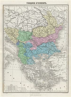
Turquie d'Europe.
sold
- Digital Map Information
- Suitable for large format printing
- File Size: 7.75 MB
- File Type: ZIP / TIFF
- ICC color profile embedded
- Delivered instantly via download link
This is a fine example of Migeon's 1876 map of the european parts of Turkey. The map covers from Moldova to Thessaly and from the Adriatic to the Black Sea. Greece and the island of Candia or Crete is also included. This map, drawn when ... (more details)
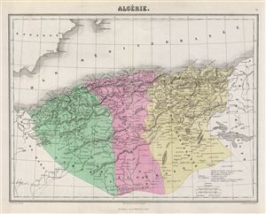
Algerie.
sold
- Digital Map Information
- Suitable for large format printing
- File Size: 7.21 MB
- File Type: ZIP / TIFF
- ICC color profile embedded
- Delivered instantly via download link
This is a fine example of J. Migeon's 1878 map of Algeria. The French colony of Algeria is depicted divided into the administrative districts of Oran, Alger and Constantine. The map also includes adjacent portions of Morocco in the west ... (more details)
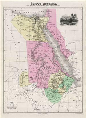
Egypte Moderne. Nubie, Abissinie, Kordofan, Darfour et une partie de l'Arabie.
sold
- Digital Map Information
- Suitable for large format printing
- File Size: 7.09 MB
- File Type: ZIP / TIFF
- ICC color profile embedded
- Delivered instantly via download link
This is a fine example of J. Migeon's 1878 map of egypt. The map covers egypt, Nubia and Abyssinia (ethiopia), Kordofan and Darfour (parts of Sudan), as well as part of Arabia. The upper right quadrant contains a beautiful decorative ... (more details)
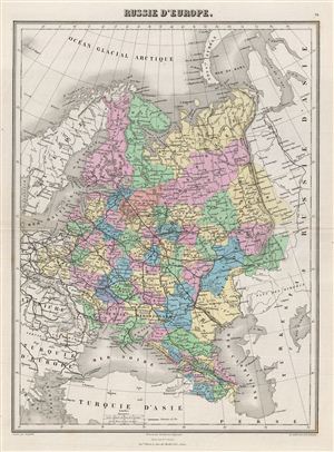
Russie d'Europe.
sold
- Digital Map Information
- Suitable for large format printing
- File Size: 7.83 MB
- File Type: ZIP / TIFF
- ICC color profile embedded
- Delivered instantly via download link
This is a fine example of J. Migeon's 1878 map of european Russia. The map covers from the Arctic Ocean to the Black Sea and from Sweden to Tartary. Parts of Austria, Prussia and european Turkey are also included. Russia at this time ... (more details)
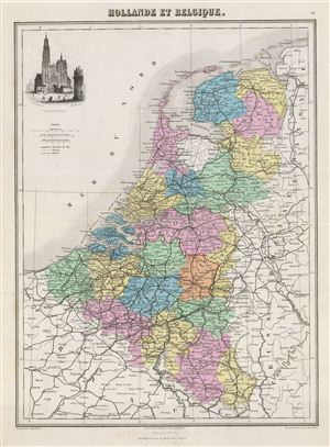
Hollande et Belgique.
sold
- Digital Map Information
- Suitable for large format printing
- File Size: 7.55 MB
- File Type: ZIP / TIFF
- ICC color profile embedded
- Delivered instantly via download link
This is a fine example of J. Migeon's 1878 map of Holland (The Netherlands) and Belgium. The map covers the United Kingdom of Netherlands including Holland and Belgium from the North Sea to the Duchy of Luxembourg. The upper left ... (more details)
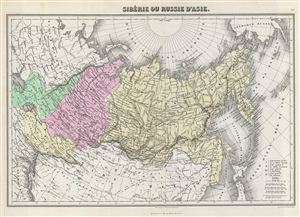
Siberie ou Russie d'Asie.
sold
- Digital Map Information
- Suitable for large format printing
- File Size: 8.65 MB
- File Type: ZIP / TIFF
- ICC color profile embedded
- Delivered instantly via download link
This is a fine example of J. Migeon's 1878 map of Russia in Asia. Migeon's map covers the Russian empire in Asia from european Russia and the Ural Mountains to the Bering Strait and from the Arctic Circle south as far as the ... (more details)
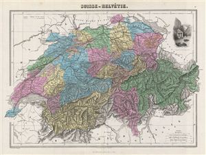
Suisse ou Helvetie.
sold
- Digital Map Information
- Suitable for large format printing
- File Size: 9.87 MB
- File Type: ZIP / TIFF
- ICC color profile embedded
- Delivered instantly via download link
This is a fine example of J. Migeon's 1878 map of Switzerland or the Helvetic Republic. The map covers the entirety of Switzerland divided into its constituent Cantons from Vaud to Grisons. The upper right quadrant features ... (more details)
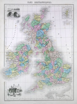
Iles Britanniques.
sold
- Digital Map Information
- Suitable for large format printing
- Full resolution TIFF file
- ICC color profile embedded
- Delivered instantly via download link
This hand colored map of the British Isles is a steel plate engraving, dating to 1878 by the well regarded French cartographer Migeon. It includes England, Scotland, Ireland and Wales. Migeon's Geographie Universelle, ... (more details)
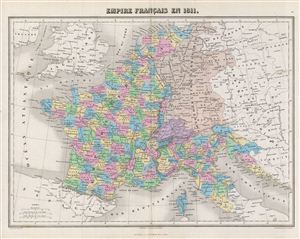
Empire Francais en 1811.
sold
- Digital Map Information
- Suitable for large format printing
- File Size: 8.63 MB
- File Type: ZIP / TIFF
- ICC color profile embedded
- Delivered instantly via download link
This is a fine example of J. Migeon's 1878 map of France. The map covers France divided into departments. It depicts the extent of the First French empire or the Napoleonic empire at its height in 1811. The empire ... (more details)
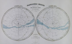
Planisphere Celeste Donnant Les Divisions Des Etoiles Fixes en Constellations et leurs classifications jusqua'a la 5eme Grandeur.
sold
- Digital Map Information
- Suitable for large format printing
- Full resolution TIFF file
- ICC color profile embedded
- Delivered instantly via download link
This hand colored celestial map of the Stars and Constellations is a steel plate engraving, dating to 1878 by the well regarded French cartographer Migeon. This map depicts the night skies of both the northern and ... (more details)
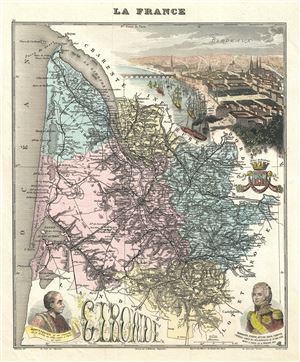
La France.
sold
- Digital Map Information
- Suitable for large format printing
- File Size: 4.17 MB
- File Type: ZIP / TIFF
- ICC color profile embedded
- Delivered instantly via download link
This is a beautiful 1893 Vuillemin map of the French department of Gironde. This coastal department is the seat of the Bordeaux wine region and produces many of the world's finest reds. Shows numerous vineyards ... (more details)