
Scarborough Company

Scarborough Company (1885 - 1913) was founded by the brothers Walter C. Scarborough (June 4, 1862 - May 9, 1904) and Howard G. Scarborough (December 23, 1867 - June 10, 1905). Walter, the older brother, was born in Providence, Rhode Island, and studied at the Boston University Law School. The Scarborough brothers founded their map publishing concern in 1885. Initially, there were three separate firms: the National Publishing Company (Portland, Maine, 1897), later based in Boston; the Dominion Publishing Company, based in Canada; and the Scarborough Publishing Company, based in London. These three firms each published semi-independently but were merged with a capital of 1,000,000 USD in 1902, subsequently publishing under the Scarborough imprint. Howard took over full management of the Scarborough in 1904 when Walter died. Howard was also in poor health, suffering from tuberculous, and relocated to Europe in 1900, where he lived in a sanatorium. He returned to the United States in 1902, settling first in Asheville, North Carolina, then at a sanatorium community in Oracle, Arizona. Until his death, he managed the Scarborough Company remotely. From about 1904, there was another branch of the firm located at 227 East Ohio Street in Indianapolis, Indiana. After Howard's 1905 death, the management of the firm, as well as its principal manufacturing and distribution points, was relocated to Indianapolis. In 1913, it became the Scarborough Motor Guide Company (c. 1913 - c. 1933).
The American east - and Typography.
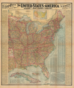
Eastern Part of The United States of America including all the Newly Acquired Territory.
$400.00
Acquire
- Digital Map Information
- Suitable for large format printing
- File Size: 246.13 MB
- File Type: ZIP / TIFF
- ICC color profile embedded
- Delivered instantly via download link
This is a large and colorful 1903 Scarborough map of the eastern United States. Scarborough became popular in the early 19th century due to their impressive size, high quality, and striking typography. (more details)
Our Colonies.
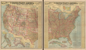
Eastern Part of The United States of America including all the Newly Acquired Territory.
$950.00
Acquire
- Digital Map Information
- Suitable for large format printing
- Full resolution TIFF file
- ICC color profile embedded
- Delivered instantly via download link
This is a large and colorful 1903 two-section map of the United States by the Scarborough Company. Scarborough maps became popular in the early 19th century due to their impressive size, high quality, and striking typography. It was issued in the wake of the Spanish-American War and took advantage America's fascination with its new colonies. It also appeared just months after Cuba became independent. (more details)
The American west - and Typography.
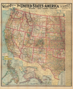
Western Part of The United States of America including all the Newly Acquired Territory.
$500.00
Acquire
- Digital Map Information
- Suitable for large format printing
- File Size: 242.34 MB
- File Type: ZIP / TIFF
- ICC color profile embedded
- Delivered instantly via download link
This is a large and colorful 1903 map of the western United States by the Scarborough Company. Scarborough became popular in the early 19th century due to their impressive size, high quality, and striking typography. (more details)
Large decorative map of Massachusetts.
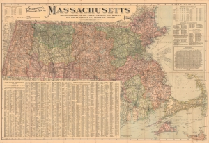
Scarborough's Topographic Map of Massachusetts Showing Railroads, electric Railways, Steamboat Lines, Highways, Post Offices, villages, etc. Completely Indexed.
$500.00
Acquire
- Digital Map Information
- Suitable for large format printing
- File Size: 193.87 MB
- File Type: ZIP / TIFF
- ICC color profile embedded
- Delivered instantly via download link
This is a 1903 Scarborough Company map of Massachusetts. Scarborough maps are widely admired for their boldly distinctive typography. (more details)
Steamships around the world.
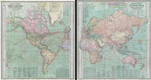
Scarborough's Map of the World North America and South America Shewing Countries and their Colonies Principal Transportation Lines etc. / Scarborough's Map of the World Eruope, Asia, Africa and Australia Shewing Countries and their Colonies Principal Transportation Lines etc.
$650.00
Acquire
- Digital Map Information
- Suitable for large format printing
- Full resolution TIFF file
- ICC color profile embedded
- Delivered instantly via download link
This is an impressive double sided 1907 map of the world by the London branch of the Scarborough Company. The map is on a single waxed silk sheet which has been printed on both sides: one detailing the Western Hemisphere, including the Americas, and the other detailing the Eastern Hemisphere, including Europe, Africa, Asia, and Australia. Particular attention has been paid to the global railroad and steamship network. Rail and steam lines are here highlighted in red overprinting. Each side features a wealth of additional information, ranging from the locations of British and American Consulates, to detailed city indexes, and populations statistics. (more details)
Steamships around the world.
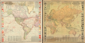
Scarborough's Map of the World North America and South America Shewing Countries and their Colonies Principal Transportation Lines etc. / Scarborough's Map of the World Eruope, Asia, Africa and Australia Shewing Countries and their Colonies Principal Transportation Lines etc.
$550.00
Acquire
- Digital Map Information
- Suitable for large format printing
- File Size: 212.69 MB
- File Type: ZIP / TIFF
- ICC color profile embedded
- Delivered instantly via download link
An impressive large-format double-sided 1907 wall map of the world by the London branch of the Scarborough Company. It provides a wealth of information on infrastructure, transportation, economic development, and the relative military might of different countries. (more details)