
Wells, Edward

Edward Wells (1667 - 1727) was an English mathematician, geographer, and classical scholar based at Christ Church College, Oxford. Wells trained for the ministry but quickly found himself unsuited to religious life and instead applied for an academic position at Oxford, where he authored numerous well respected works on a wide range of mathematical and scientific topics. He tutored Prince William, the sickly son of Queen Anne, who was likely about 11 at the time this map was prepared. Wells dedicated nearly all of the maps in his atlas, A New Sett of Maps both of Ancient and Present Geography, to the young prince - quite possibly posthumously, as William died in July of 1700 shortly prior to the publication of the atlas. Nonetheless, Wells' geography proved popular and was published in number editions well into the 1730s.
Fit for a Prince.
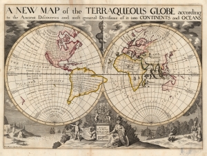
A New Map of the Terraqueous Globe according to the Ancient Discoveries and most general Divisions of it into Continents and Oceans.
$1,900.00
Acquire
- Digital Map Information
- Suitable for large format printing
- Full resolution TIFF file
- ICC color profile embedded
- Delivered instantly via download link
This is Edward Wells' 1700 map of the world, showing those parts known to classical geographers and those which were more recently revealed during the Age of Discovery. The map was issued for a tragic but popular student atlas - the student for whom it was made, Prince William, died in the year of publication. Nonetheless, the interesting map has much to offer - including the tentative association of America with mythical Atlantis. (more details)
Cutting Edge Asian Geography for an English Audience.
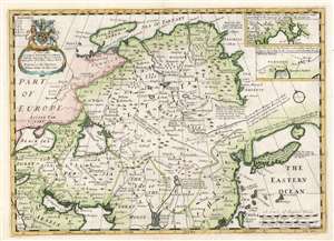
A New Map of Great Tartary, and China, with the adjoyning Parts of Asia.
$550.00
Acquire
- Digital Map Information
- Suitable for large format printing
- DPI: 600
- File Size: 40.85 MB
- File Type: ZIP / TIFF
- ICC color profile embedded
- Delivered instantly via download link
This is Edward Wells' 1700 map of central and northern Asia. The map spans from the near east - Mesopotamia and Persia, and the frontier of Muscovy - to Siberia and Tartary, as well as China, Korea, and Japan. (more details)
A New Toponymy.
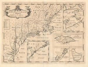
A New Map of the most considerable Plantations of the English in America.
$1,200.00
Acquire
- Digital Map Information
- Suitable for large format printing
- DPI: 600
- File Size: 14.46 MB
- File Type: ZIP / TIFF
- ICC color profile embedded
- Delivered instantly via download link
This is Edward Wells' 1700 map of the British colonies in North America, including insets of the islands of Bermuda, Barbados, and Jamaica. (more details)
A decorative map of France from the early 18th century.
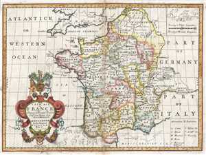
A New Map of France Shewing its Principal Divisions Chief Cities, Townes, Ports Rivers, Mountains, etc.
$225.00
Acquire
- Digital Map Information
- Suitable for large format printing
- DPI: 300
- File Size: 8.87 MB
- File Type: ZIP / TIFF
- ICC color profile embedded
- Delivered instantly via download link
This is a lovely 1712 map of France by Edward Wells of Oxford. It covers all of France and parts of Belgium and Switzerland. Notes the principal divisions, cities, towns, rivers, roads and other topographical features. At the opening of the 18th century France was ... (more details)
Attractive map of Germany.
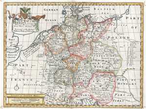
A New Map of Present Germany, Shewing Its Principal Divisions, Cities, Towns, Rivers, Mountains, etc.
$350.00
Acquire
- Digital Map Information
- Suitable for large format printing
- DPI: 300
- File Size: 9.28 MB
- File Type: ZIP / TIFF
- ICC color profile embedded
- Delivered instantly via download link
This is a beautiful 1712 map of Germany by Edward Wells of Oxford. It covers the entirety of the lands traditionally occupied by the Germanic peoples, from the Gulf of Venice to the Baltic coast as from Holland to Poland. Notes towns, rivers, lakes and other ... (more details)