Digital Image: 1946 Survey of Palestine Map of Convoy Routes in British Mandatory Palestine
ConvoyRoutesPalestine-survey-1946_d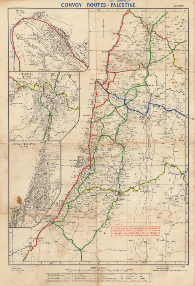

Title
Convoy Routes - Palestine.
1946 (dated) 23 x 15 in (58.42 x 38.1 cm) 1 : 500000
1946 (dated) 23 x 15 in (58.42 x 38.1 cm) 1 : 500000
Description
FOR THE ORIGINAL ANTIQUE MAP, WITH HISTORICAL ANALYSIS, CLICK HERE.
Digital Map Information
Geographicus maintains an archive of high-resolution rare map scans. We scan our maps at 300 DPI or higher, with newer images being 600 DPI, (either TIFF or JPEG, depending on when the scan was done) which is most cases in suitable for enlargement and printing.
Delivery
Once you purchase our digital scan service, you will receive a download link via email - usually within seconds. Digital orders are delivered as ZIP files, an industry standard file compression protocol that any computer should be able to unpack. Some of our files are very large, and can take some time to download. Most files are saved into your computer's 'Downloads' folder. All delivery is electronic. No physical product is shipped.
Credit and Scope of Use
You can use your digial image any way you want! Our digital images are unrestricted by copyright and can be used, modified, and published freely. The textual description that accompanies the original antique map is not included in the sale of digital images and remains protected by copyright. That said, we put significant care and effort into scanning and editing these maps, and we’d appreciate a credit when possible. Should you wish to credit us, please use the following credit line:
Courtesy of Geographicus Rare Antique Maps (https://www.geographicus.com).
How Large Can I Print?
In general, at 300 DPI, you should at least be able to double the size of the actual image, more so with our 600 DPI images. So, if the original was 10 x 12 inches, you can print at 20 x 24 inches, without quality loss. If your display requirements can accommodate some loss in image quality, you can make it even larger. That being said, no quality of scan will allow you to blow up at 10 x 12 inch map to wall size without significant quality loss. For more information, it is best consult a printer or reprographics specialist.
Refunds
If the high resolution image you ordered is unavailable, we will fully refund your purchase. Otherwise, digital images scans are a service, not a tangible product, and cannot be returned or refunded once the download link is used.
Cartographer
The Survey of Palestine (1920 - 1948) was a department of the government of the British Mandate of Palestine that surveyed and mapped Palestine. Established in 1920, the Survey moved from Jaffa to Tel Aviv in 1931. The Zionist Organization (now the World Zionist Organization) pressured the Survey to begin triangulation surveys of Palestine from its creation with the goal of using the surveys to identify land in Palestine that the Organization could acquire. For this reason, Palestinian Arabs resisted the Survey's efforts, since they viewed its projects as efforts to sell their land out from under them. The survey completed the national triangulation framework in 1930 and the 1:10,000 survey in 1934. In 1940 the government relieved the Survey of its responsibility to adjudicate land settlement claims, which allowed the department to focus on surveying. The department had finalized topographical maps for all of Palestine except the southern Negev by the 1947-1949 Palestine war. The British Mandate appointed a temporary Director General of the Survey Department for the both the forthcoming 'Jewish State and 'Arab State' in early 1948 under the terms of the United National Partition Plan for Palestine. More by this mapmaker...