Digital Image: 1797 Cassini Map of the Eastern Coast of the United States
EasternUSA2-cassini-1797_d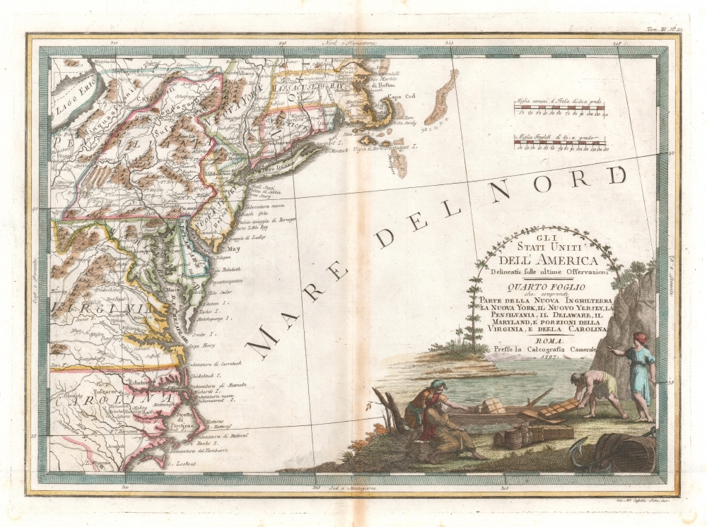

Title
Gli Stati Uniti dell' America delineati sulle ultime Osservazioni, Quarto foglio che comprende parte della Nuova Inghilterra, la Nuova York, il Nuovo Yersey, la Pensilvania, il Delaware, il Maryland, e porzioni della Virginia, e della Carolina.
1797 (dated) 15 x 20 in (38.1 x 50.8 cm) 1 : 3400000
1797 (dated) 15 x 20 in (38.1 x 50.8 cm) 1 : 3400000
Description
FOR THE ORIGINAL ANTIQUE MAP, WITH HISTORICAL ANALYSIS, CLICK HERE.
Digital Map Information
Geographicus maintains an archive of high-resolution rare map scans. We scan our maps at 300 DPI or higher, with newer images being 600 DPI, (either TIFF or JPEG, depending on when the scan was done) which is most cases in suitable for enlargement and printing.
Delivery
Once you purchase our digital scan service, you will receive a download link via email - usually within seconds. Digital orders are delivered as ZIP files, an industry standard file compression protocol that any computer should be able to unpack. Some of our files are very large, and can take some time to download. Most files are saved into your computer's 'Downloads' folder. All delivery is electronic. No physical product is shipped.
Credit and Scope of Use
You can use your digial image any way you want! Our digital images are unrestricted by copyright and can be used, modified, and published freely. The textual description that accompanies the original antique map is not included in the sale of digital images and remains protected by copyright. That said, we put significant care and effort into scanning and editing these maps, and we’d appreciate a credit when possible. Should you wish to credit us, please use the following credit line:
Courtesy of Geographicus Rare Antique Maps (https://www.geographicus.com).
How Large Can I Print?
In general, at 300 DPI, you should at least be able to double the size of the actual image, more so with our 600 DPI images. So, if the original was 10 x 12 inches, you can print at 20 x 24 inches, without quality loss. If your display requirements can accommodate some loss in image quality, you can make it even larger. That being said, no quality of scan will allow you to blow up at 10 x 12 inch map to wall size without significant quality loss. For more information, it is best consult a printer or reprographics specialist.
Refunds
If the high resolution image you ordered is unavailable, we will fully refund your purchase. Otherwise, digital images scans are a service, not a tangible product, and cannot be returned or refunded once the download link is used.
Cartographer
Giovanni Maria Cassini (1745 - 1824) was a Rome based Italian mathematician, globe maker, geographer, engraver, and cartographer active in the later part of the 18th and early 19th century. He was a disciple of Giovanni Battista Piranesi. He invented new form of projection used for an atlas of the kingdom of Naples issued by Giovanni Antonio Rizzi Zannoni. Cassini is best known as a globe maker and is considered the last of the great 18th century globe makers. His maps are distinctive for their fine engraving, dark strong impressions, and elaborate distinctive cartouche work. Unlike many map and atlas publishers of the period, Cassini did all of his own engraving work - this impregnating each map with his unmistakable style. Though he produced a significant corpus of well-regarded work, little is known of Cassini's personal life. G. M. Cassini is often mistakenly associated with the well-known French cartographic family of the same name, however, they are not related. More by this mapmaker...
Source
Cassini, G. M., Nuovo Atlante Geografico Universale, (Roma : Presso la Calcografia Camerale) 1797.
References
OCLC 944184977. McCorkle, B. B, New England in Early Printed Maps 1513 - 1800, 797.3.