Digital Image: 1939 Stiles Pictorial Map of Frick Park, Pittsburgh, Pennsylvania
FrickParkPittsburgh-stiles-1939_d


Title
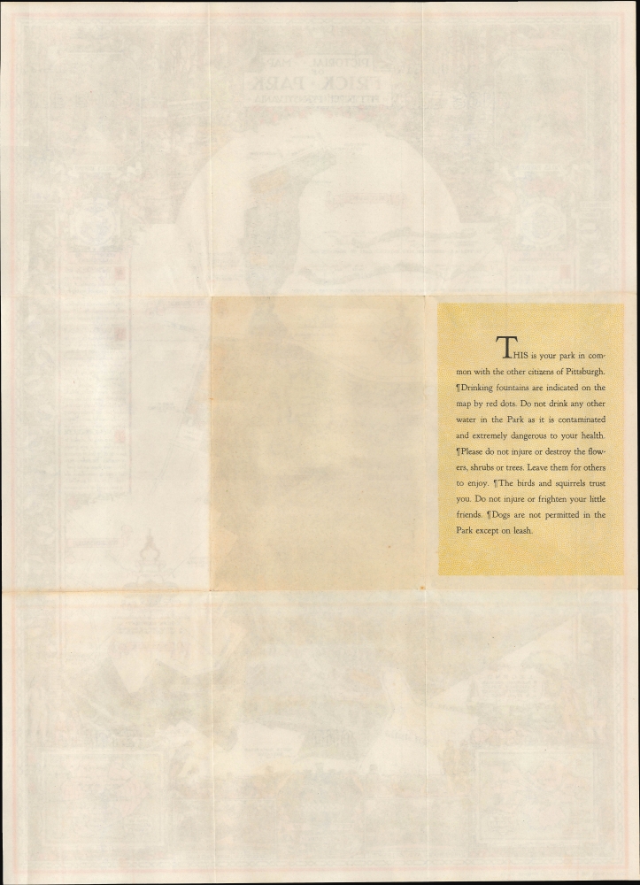
Pictorial Map of Frick Park Pittsburgh, Pennsylvania.
1939 (dated) 18.25 x 13 in (46.355 x 33.02 cm) 1 : 3500
1939 (dated) 18.25 x 13 in (46.355 x 33.02 cm) 1 : 3500
Description
FOR THE ORIGINAL ANTIQUE MAP, WITH HISTORICAL ANALYSIS, CLICK HERE.
Digital Map Information
Geographicus maintains an archive of high-resolution rare map scans. We scan our maps at 300 DPI or higher, with newer images being 600 DPI, (either TIFF or JPEG, depending on when the scan was done) which is most cases in suitable for enlargement and printing.
Delivery
Once you purchase our digital scan service, you will receive a download link via email - usually within seconds. Digital orders are delivered as ZIP files, an industry standard file compression protocol that any computer should be able to unpack. Some of our files are very large, and can take some time to download. Most files are saved into your computer's 'Downloads' folder. All delivery is electronic. No physical product is shipped.
Credit and Scope of Use
You can use your digial image any way you want! Our digital images are unrestricted by copyright and can be used, modified, and published freely. The textual description that accompanies the original antique map is not included in the sale of digital images and remains protected by copyright. That said, we put significant care and effort into scanning and editing these maps, and we’d appreciate a credit when possible. Should you wish to credit us, please use the following credit line:
Courtesy of Geographicus Rare Antique Maps (https://www.geographicus.com).
How Large Can I Print?
In general, at 300 DPI, you should at least be able to double the size of the actual image, more so with our 600 DPI images. So, if the original was 10 x 12 inches, you can print at 20 x 24 inches, without quality loss. If your display requirements can accommodate some loss in image quality, you can make it even larger. That being said, no quality of scan will allow you to blow up at 10 x 12 inch map to wall size without significant quality loss. For more information, it is best consult a printer or reprographics specialist.
Refunds
If the high resolution image you ordered is unavailable, we will fully refund your purchase. Otherwise, digital images scans are a service, not a tangible product, and cannot be returned or refunded once the download link is used.
Cartographer
Ezra Clarke Stiles (September 26, 1891 - January 27, 1974) was an artist, landscape architect, urban planner, and cartographer, long active in Pittsburgh, Pennsylvania. A descendant of prominent Yale University President Ezra Stiles (1727 - 1795), Stiles the younger was born in Upstate New York and attended Pennsylvania State University, earning a degree in Forestry and Landscape Architecture in 1914. He briefly worked as an urban planner in Charlotte, North Carolina and then for a landscape architecture firm in Boston before moving to Pittsburgh in 1915 to work for the landscape design firm A.W. Smith. He joined the U.S. Army during the First World Was and was assigned to the 44th Depot Detachment of Engineers, performing a variety of functions related to his drafting and drawing skills, eventually teaching at the Army Engineer School at Langres, France. Returning to Pittsburgh after the war, Stiles founded his own firm in 1926 and quickly became celebrated as one of the premier landscape architect working in the city, designing gardens for local grandees, universities, corporations, public parks, and others. He even designed two complete parks for Pittsburgh's centennial as well as the McKeesport Rose Garden and Arboretum, and later in his career worked to expand the Allegheny County Park System. Stiles wrote three books on landscape architecture and drew four pictorial maps during his career, the latter including a map of Frick Park in Pittsburgh, a birds-eye view of Pittsburgh in 1939, a related historical view of Pittsburgh in 1889 (the two were reprinted together in a smaller format in Fortune magazine), and, in conjunction with historian Paul Bowman, an historical map of the American Expeditionary Forces in World War I. More by this mapmaker...
References
Rumsey 8469.002.