1939 Stiles Pictorial Map of Frick Park, Pittsburgh, Pennsylvania
FrickParkPittsburgh-stiles-1939$650.00


Title
Pictorial Map of Frick Park Pittsburgh, Pennsylvania.
1939 (dated) 18.25 x 13 in (46.355 x 33.02 cm) 1 : 3500
1939 (dated) 18.25 x 13 in (46.355 x 33.02 cm) 1 : 3500
Description
This is a 1939 pictorial map of Frick Park in Pittsburgh, Pennsylvania, drawn by artist Ezra C. Stiles.
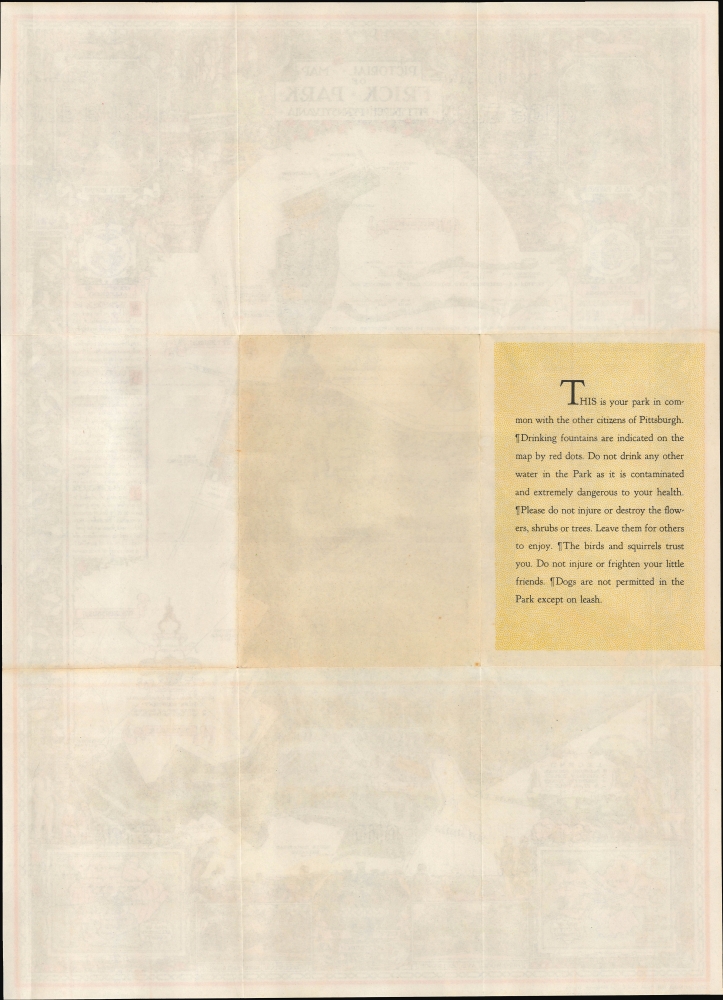
Surrounding the map is text on the park's history and many rich illustrations of flora and fauna to be found there. At the bottom are illustrations of people hiking, picnicking, and otherwise enjoying the park. Two of the park's grand entrances and the City of Pittsburgh seal are depicted at the bottom, along with two small inset maps: one of Pittsburgh, highlighting its municipal parks, and another of Allegheny County, similarly pointing out Frick and other parks. The text on the verso provides helpful reminders and park rules for visitors.
A Closer Look
This visually rich map displays the entirety of Frick Park as it existed at the time (without a later southern expansion to the Monongahela River) and notes both existing and planned future elements of the park. Trails, structures, waterways, drinking fountains, park entrances, high points of elevation, and surrounding streets and neighborhoods are labeled. Many of the planned future enhancements, such as a large tennis court complex and additional parking lots, were never built, presumably due to the Great Depression and the Second World War. The proposed Lincoln Highway By-Pass became a highway in the early postwar period, which was subsequently incorporated into Interstate 376.Surrounding the map is text on the park's history and many rich illustrations of flora and fauna to be found there. At the bottom are illustrations of people hiking, picnicking, and otherwise enjoying the park. Two of the park's grand entrances and the City of Pittsburgh seal are depicted at the bottom, along with two small inset maps: one of Pittsburgh, highlighting its municipal parks, and another of Allegheny County, similarly pointing out Frick and other parks. The text on the verso provides helpful reminders and park rules for visitors.
Frick Park
Frick Park is the largest municipal park in Pittsburgh, Pennsylvania. Covering nearly 650 acres, it was founded in 1919 upon the death of industrialist Henry Clay Frick (1849 - 1919), who, along with Andrew Carnegie (1835 - 1919), played a pivotal role in making Pittsburgh the 'Steel City.' The park's original 161 acres were adjacent to Clayton, Frick's large mansion in the Point Breeze neighborhood. Additional acreage was added in the following years (standing at 476 when this map was published), expanding the park to several times its original size. A combination of nature preserve and urban park, it offers Pittsburghers a wide range of outdoor activities.Publication History and Census
This map was drawn by landscape architect Ezra C. Stiles in 1938 and published by the Union Trust Co. of Pittsburgh in 1939, perhaps to coincide with the 20th anniversary of the park's creation. It is scarce, unrecorded in the OCLC, and only held by the David Rumsey Historical Map Collection and the City of Pittsburgh Archives.Cartographer
Ezra Clarke Stiles (September 26, 1891 - January 27, 1974) was an artist, landscape architect, urban planner, and cartographer, long active in Pittsburgh, Pennsylvania. A descendant of prominent Yale University President Ezra Stiles (1727 - 1795), Stiles the younger was born in Upstate New York and attended Pennsylvania State University, earning a degree in Forestry and Landscape Architecture in 1914. He briefly worked as an urban planner in Charlotte, North Carolina and then for a landscape architecture firm in Boston before moving to Pittsburgh in 1915 to work for the landscape design firm A.W. Smith. He joined the U.S. Army during the First World Was and was assigned to the 44th Depot Detachment of Engineers, performing a variety of functions related to his drafting and drawing skills, eventually teaching at the Army Engineer School at Langres, France. Returning to Pittsburgh after the war, Stiles founded his own firm in 1926 and quickly became celebrated as one of the premier landscape architect working in the city, designing gardens for local grandees, universities, corporations, public parks, and others. He even designed two complete parks for Pittsburgh's centennial as well as the McKeesport Rose Garden and Arboretum, and later in his career worked to expand the Allegheny County Park System. Stiles wrote three books on landscape architecture and drew four pictorial maps during his career, the latter including a map of Frick Park in Pittsburgh, a birds-eye view of Pittsburgh in 1939, a related historical view of Pittsburgh in 1889 (the two were reprinted together in a smaller format in Fortune magazine), and, in conjunction with historian Paul Bowman, an historical map of the American Expeditionary Forces in World War I. More by this mapmaker...
Condition
Very good. Light wear along original fold lines. Text on verso. Accompanied by original envelope.
References
Rumsey 8469.002.