Digital Image: 1899 Hubbard Map of Northern Maine
NorthernMaine-hubbard-1899_d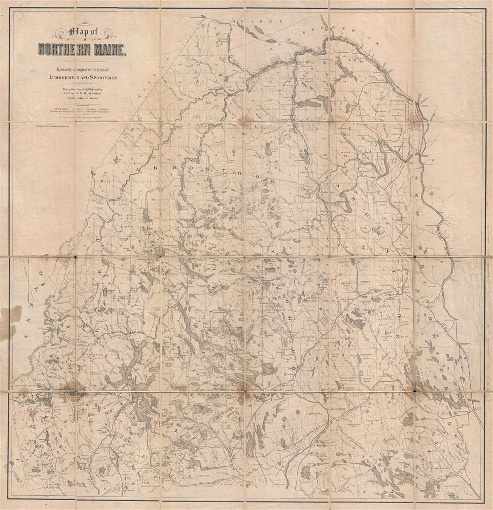

Title
Map of Northern Maine. Specially adapted to the Uses of Lumbermen and Sportsmen.
1899 (dated) 33.5 x 32.5 in (85.09 x 82.55 cm) 1 : 316800
1899 (dated) 33.5 x 32.5 in (85.09 x 82.55 cm) 1 : 316800
Description
FOR THE ORIGINAL ANTIQUE MAP, WITH HISTORICAL ANALYSIS, CLICK HERE.
Digital Map Information
Geographicus maintains an archive of high-resolution rare map scans. We scan our maps at 300 DPI or higher, with newer images being 600 DPI, (either TIFF or JPEG, depending on when the scan was done) which is most cases in suitable for enlargement and printing.
Delivery
Once you purchase our digital scan service, you will receive a download link via email - usually within seconds. Digital orders are delivered as ZIP files, an industry standard file compression protocol that any computer should be able to unpack. Some of our files are very large, and can take some time to download. Most files are saved into your computer's 'Downloads' folder. All delivery is electronic. No physical product is shipped.
Credit and Scope of Use
You can use your digial image any way you want! Our digital images are unrestricted by copyright and can be used, modified, and published freely. The textual description that accompanies the original antique map is not included in the sale of digital images and remains protected by copyright. That said, we put significant care and effort into scanning and editing these maps, and we’d appreciate a credit when possible. Should you wish to credit us, please use the following credit line:
Courtesy of Geographicus Rare Antique Maps (https://www.geographicus.com).
How Large Can I Print?
In general, at 300 DPI, you should at least be able to double the size of the actual image, more so with our 600 DPI images. So, if the original was 10 x 12 inches, you can print at 20 x 24 inches, without quality loss. If your display requirements can accommodate some loss in image quality, you can make it even larger. That being said, no quality of scan will allow you to blow up at 10 x 12 inch map to wall size without significant quality loss. For more information, it is best consult a printer or reprographics specialist.
Refunds
If the high resolution image you ordered is unavailable, we will fully refund your purchase. Otherwise, digital images scans are a service, not a tangible product, and cannot be returned or refunded once the download link is used.
Cartographer
Lucius Lee Hubbard (August 7, 1849 - August 3, 1933) was an American cartographer, geologist, mineralogist, and professor. Born in Cincinnati, Ohio, Hubbard graduated from Harvard in 1872 and from Boston Law School in 1875. He also studied at the University of Bonn. Hubbard served as the assistant state geologist of Michigan from 1891 - 1893 and then as state geologist from 1895 - 1899. Hubbard also held the post of instructor in mineralogy at the State Mining School at Houghton. He resigned as state geologist in 1899 to become the general manager of the Champion Copper Company, on Michigan's copper range. Hubbard was appointed a region of the University of Michigan by former Michigan Governor Chase S. Osborn in 1910 and served as a regent until resigning on January 8, 1933, citing ill health. He also held a post on the board of control of the Michigan School of Mining and Technology from 1905 - 1917 and was the author of several books on mineralogy and geology. Hubbard married Frances Johnson Lambard on September 28, 1875 in Augusta, Maine. More by this mapmaker...
References
OCLC 1027480519.