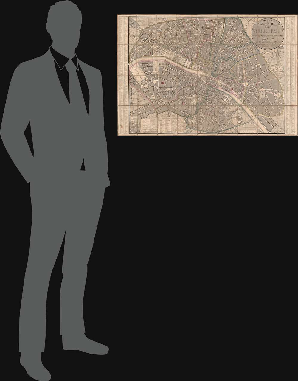
1833 Andriveau-Goujon City Plan or Map of Paris, France
Paris-andriveaugoujon-1833
Title
1833 (dated) 23 x 34.25 in (58.42 x 86.995 cm) 1 : 10000
Description
Paris in 1833
Paris in 1833 was three years removed from the July Revolution, also known as the French Revolution of 1830, when King Charles X was overthrown and his cousin, Louis Philippe, Duke of Orléans, ascended. Known as i>Les Trois Glorieuses, the revolution culminated in the capture of the Tuileries Palace, the Louvre, and the Hôtel de Ville (Paris's City Hall) and created a constitutional monarchy. The July Monarchy, as it came to be known, proved as unpopular as the previous government, and was overthrown in the Revolution of 1848.Publication History and Census
This map was created by Nicolas Maire, engraved by 'Perrier, Gallet, and Lale', and published by Andriveau-Goujon in 1833. Two examples are cataloged in OCLC: University of Minnesota Minneapolis and the Institut national d'histoire de l'art in Paris.CartographerS
Eugène Andriveau-Goujon (1832 - 1897) was a map publisher and cartographer active in 19th century Paris. The firm was created in 1825 when Eugène Andriveau married the daughter of map publisher Jean Goujon - thus creating Andriveau-Goujon. Maps by Andriveau-Goujon are often confusing to identify as they can be alternately singed J. Goujon, J. Andriveau, J. Andriveau-Goujon, E. Andriveau-Goujon, or simply Andriveau-Goujon. This refers to the multiple generations of the Andriveau-Goujon dynasty and the tendency to republish older material without updating the imprint. The earliest maps to have the Andriveau-Goujon imprint were released by Jean Andriveau-Goujon. He passed the business to his son Gilbert-Gabriel Andriveau-Goujon, who in 1858 passed to his son, Eugène Andriveau-Goujon, under whose management the firm was most prolific. Andriveau-Goujon published numerous fine pocket maps and atlases throughout the 19th century and often worked with other prominent French cartographers of the time such as Brue and Levasseur. The firm's stock was acquired by M. Barrère in 1892. More by this mapmaker...
Nicolas Maire (fl. 1803 - 1840) was a French engraver active in Paris in the late 18th and early 19th centuries. Little is known of his early years during the chaotic days of the French Revolution, but some argue that he was a military engineer under Louis Brion de la Tour (1743 - 1803). During the First Empire, under Napoleon Bonaparte, he established himself as a commercial cartographer, leverage the expanding empire's growing access to cartographic data. He successfully negotiated the political upheavals after the Battle of Waterloo, acquiring the prestigious post of Ingenieur et Geographe du Roi during the Bourbon Restoration of Louis XVIII (1755 - 1824). Maire was an early pioneer of data visualization through maps - and most of his maps are correspondingly data rich and large. In 1821, he published an Atlas Administratif de Pairs which employed a unique template and coding system to visualize urbanization data. He also issued an impressive and rare mineralogical map of Italy, as well as other significant thematic pieces. Learn More...
J.D. Lale (17xx - 18xx) was a French engraver who attained the position of 'Engraver of the Dépôt de la Guerre (War Department). Learn More...


