
Andriveau-Goujon (J. Goujon, J. Andriveau, J. Andriveau-Goujon, E. Andriveau-Goujon)
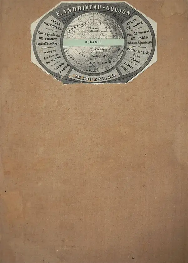
Eugène Andriveau-Goujon (1832 - 1897) was a map publisher and cartographer active in 19th century Paris. The firm was created in 1825 when Eugène Andriveau married the daughter of map publisher Jean Goujon - thus creating Andriveau-Goujon. Maps by Andriveau-Goujon are often confusing to identify as they can be alternately singed J. Goujon, J. Andriveau, J. Andriveau-Goujon, E. Andriveau-Goujon, or simply Andriveau-Goujon. This refers to the multiple generations of the Andriveau-Goujon dynasty and the tendency to republish older material without updating the imprint. The earliest maps to have the Andriveau-Goujon imprint were released by Jean Andriveau-Goujon. He passed the business to his son Gilbert-Gabriel Andriveau-Goujon, who in 1858 passed to his son, Eugène Andriveau-Goujon, under whose management the firm was most prolific. Andriveau-Goujon published numerous fine pocket maps and atlases throughout the 19th century and often worked with other prominent French cartographers such as Adrien-Hubert Brué (1786 - 1832) and Victor Levasseur (1800 - 1870). The firm's stock was acquired by M. Barrère in 1892, who operated it until c. 1930, when it passed on to P.H. Barrère (presumably his son). In 1933, the firm was merged to become Girard et Barrère and in the post-World War II period operated as Girard, Barrère et Thomas until it was purchased by Cartes Taride in 1974.
AKA: J. Goujon, J. Andriveau, J. Andriveau-Goujon, E. Andriveau-Goujon
The City of Light just before the July Revolution.
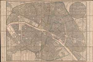
Nouveau Plan Itinéraire de la Ville de Paris divisé en 12 Arr. avec tous les Edifices publics.
$950.00
Acquire
- Digital Map Information
- Suitable for large format printing
- Full resolution TIFF file
- ICC color profile embedded
- Delivered instantly via download link
This is a beautifully engraved 1833 Nicolas Maire and Eugène Andriveau-Goujon city plan or map of Paris, France. Predating Baron Hausmann's renovation of Paris, the city's iconic jumble of large boulevards and small streets leaps off the page. Nearly every illustrated street is identified. Sites notesd include the Louvre, the Invalides, Notre Dame, and the Jardin des Tuileries. Today's Jardin des Plantes, a popular park, is labeled as the Jardin du Roi and the Place de la Concorde is the Place Louis XVI. (more details)
After Guadalupe Hidalgo, before the Compromise.
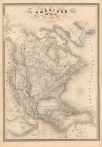
Amérique du Nord par A. H. Dufour...
$1,200.00
Acquire
- Digital Map Information
- Suitable for large format printing
- DPI: 600
- File Size: 144.18 MB
- File Type: ZIP / TIFF
- ICC color profile embedded
- Delivered instantly via download link
A fine example of A. H. Dufour's 1849 map of North America, including Texas with ambitious boundaries. The map offers an interesting and ephemeral look at the Transmississippi in the year after the Treaty of Guadalupe Hidalgo, but before the changes wrought by the Compromise of 1850, the Gold Rush, and in the same year, the statehood of California. (more details)
Matched pair of beautiful, large maps of the Americas.
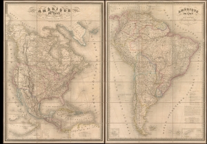
Amérique du Nord. / Amérique du Sud.
$3,500.00
Acquire
- Digital Map Information
- Suitable for large format printing
- Full resolution TIFF file
- ICC color profile embedded
- Delivered instantly via download link
This is a beautiful 1851 pair of A. H. Dufour large-format folding maps of North America and South America, presented together in an original slipcase. The North America map captures an ephemeral look at the Transmississippi in the year after the Treaty of Guadalupe Hidalgo - including a most unusual mapping of the borders of Texas.The South America map shows the political divisions just prior to the Platine War, between the Empire of Brazil and the Argentine Confederation. (more details)
Proposed Territories of Colona and Shoshone.
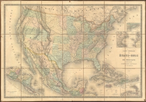
Carte Générale des États-Unis et du Mexique comprenant l'Amérique Centrale et les Antilles.
$1,200.00
Acquire
- Digital Map Information
- Suitable for large format printing
- File Size: 66.34 MB
- File Type: ZIP / TIFF
- ICC color profile embedded
- Delivered instantly via download link
This is an 1862 Eugène Andriveau-Goujon and Alexandre Vuillemin map of the United States and Mexico - illustrating the ephemeral proto-territories of Colona and Shoshone. The map depicts from the Pacific to the Atlantic and from southern Canada (Nouvelle Bretagne) to Honduras. (more details)
Earliest Official Map of the Suez Canal.
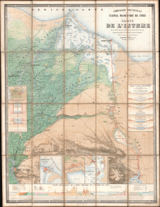
Compagnie Universelle du Canal Maritime de Suez Carte de l'Isthme.
$5,000.00
Acquire
- Digital Map Information
- Suitable for large format printing
- Full resolution TIFF file
- ICC color profile embedded
- Delivered instantly via download link
This is a 1866 large-format chromolithographic folding map issued by the Compagnie universelle du canal maritime de Suez, under the direction of its chief engineer, François-Philippe Voisin. Published in 1866, three years before the canal's completion, this rare first edition of the official canal map is among the most visually compelling and technically detailed maps ever made of the project. During World War I (1914 - 1918), the Imperial German Army deemed it so accurate and useful that it issued a faithful pirated edition for commanders planning an assault on the canal. (more details)
French occupation of Tonkin.
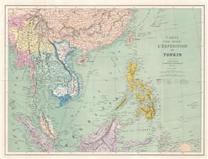
Carte pour suivre l'Éxpedition du Tonkin.
$400.00
Acquire
- Digital Map Information
- Suitable for large format printing
- File Size: 20.24 MB
- File Type: ZIP / TIFF
- ICC color profile embedded
- Delivered instantly via download link
This is an 1884 Eugène Andriveau-Goujon map of Southeast Asia and the East Indies published during the French Tonkin Campaign (Expédition du Tonkin). The map capitalizes on French public interest in the fighting in Tonkin (Tong-King). Andriveau-Goujon uses color to highlight colonial possessions of France, England, the Netherlands, and Spain, clarifying the politics in play. He also includes numerous cities and towns, along with shipping routes and undersea cables. (more details)
Celebrating the Empire from Occupied France.
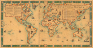
L'Empire Colonial Francais, 1506 - 1940.
$6,500.00
Acquire
- Digital Map Information
- Suitable for large format printing
- Full resolution TIFF file
- ICC color profile embedded
- Delivered instantly via download link
This is a highly scarce, visually stunning, and very large-format (38.25 x 73.25 in.) wall map of the world highlighting the French colonial empire, prepared by the cartographic firm Girard et Barrère. Curiously, it was produced in March 1944, when France itself was under German occupation and the empire was divided against itself among loyalists of Vichy and Free France. (more details)