Digital Image: 1908 Youker Map of Sonoma County, California
SonomaCounty-youker-1908_d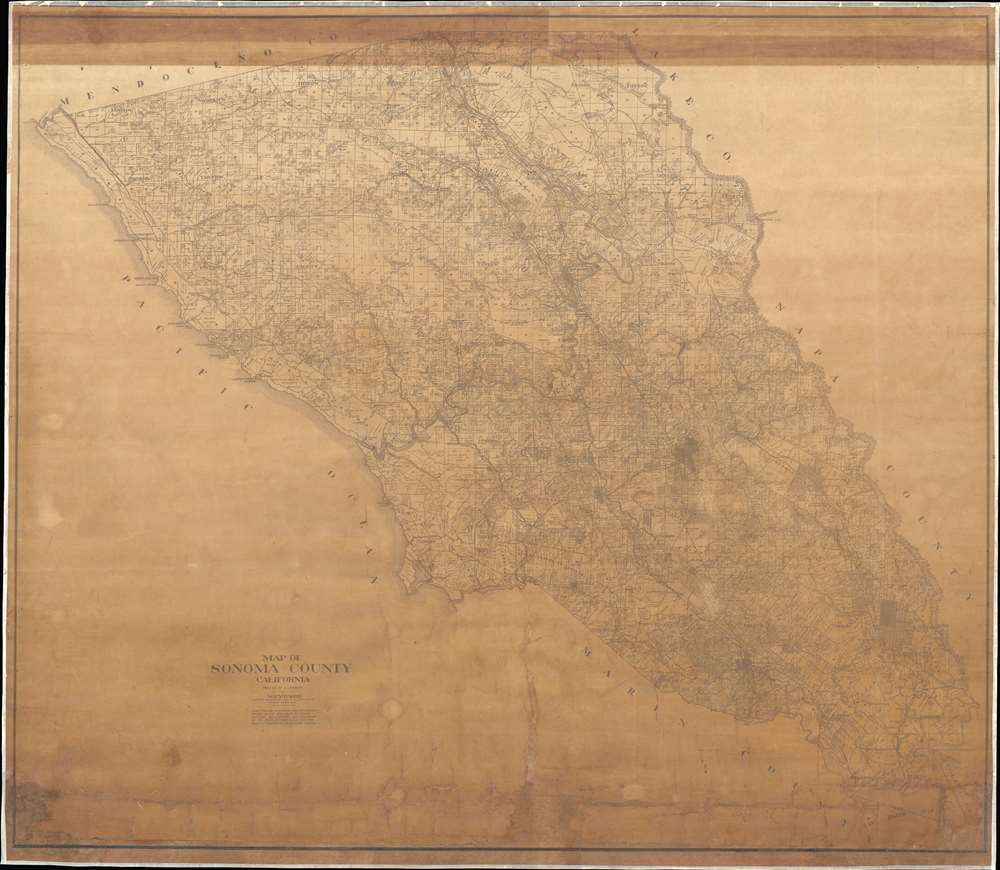

Title
Map of Sonoma County, California.
1908 (dated) 54 x 62 in (137.16 x 157.48 cm) 1 : 70000
1908 (dated) 54 x 62 in (137.16 x 157.48 cm) 1 : 70000
Description
FOR THE ORIGINAL ANTIQUE MAP, WITH HISTORICAL ANALYSIS, CLICK HERE.
Digital Map Information
Geographicus maintains an archive of high-resolution rare map scans. We scan our maps at 300 DPI or higher, with newer images being 600 DPI, (either TIFF or JPEG, depending on when the scan was done) which is most cases in suitable for enlargement and printing.
Delivery
Once you purchase our digital scan service, you will receive a download link via email - usually within seconds. Digital orders are delivered as ZIP files, an industry standard file compression protocol that any computer should be able to unpack. Some of our files are very large, and can take some time to download. Most files are saved into your computer's 'Downloads' folder. All delivery is electronic. No physical product is shipped.
Credit and Scope of Use
You can use your digial image any way you want! Our digital images are unrestricted by copyright and can be used, modified, and published freely. The textual description that accompanies the original antique map is not included in the sale of digital images and remains protected by copyright. That said, we put significant care and effort into scanning and editing these maps, and we’d appreciate a credit when possible. Should you wish to credit us, please use the following credit line:
Courtesy of Geographicus Rare Antique Maps (https://www.geographicus.com).
How Large Can I Print?
In general, at 300 DPI, you should at least be able to double the size of the actual image, more so with our 600 DPI images. So, if the original was 10 x 12 inches, you can print at 20 x 24 inches, without quality loss. If your display requirements can accommodate some loss in image quality, you can make it even larger. That being said, no quality of scan will allow you to blow up at 10 x 12 inch map to wall size without significant quality loss. For more information, it is best consult a printer or reprographics specialist.
Refunds
If the high resolution image you ordered is unavailable, we will fully refund your purchase. Otherwise, digital images scans are a service, not a tangible product, and cannot be returned or refunded once the download link is used.
Cartographer S
Malcolm Phillip Youker (1886 - April 27, 1967) was an American civil engineer. Born in Santa Rosa, California, Youker was born into a pioneer Santa Rosa family and grew up on the family's Spanish land grant ranch in Rincon Valley called Rancho de Las Cabezas. He graduated from Stanford with a degree in civil engineering and served two terms as Sonoma County surveyor. He then moved to Tulsa, Oklahoma, where he worked for the Bureau of Mines and also spent fourteen years as a vice president at Phillips Petroleum. He served as petroleum administrator for the West Coast during World War II. He retired to the family ranch in Rincon Valley before moving to Fortuna, California, where he died. He was married to his wife Neva Youker, with whom he had four children. More by this mapmaker...
George H. Winkler (June 5, 1872 - July 23, 1911) was an American civil engineer. Born in the Green valley of California, Winkler attended public schools before studying civil engineering at the University of California. After graduation, Winkler found a job working in the Sonoma mines. He joined the U.S. Engineering Corps in June 1898 and was sent to Honolulu, where he worked until he was discharged in November 1899. He then moved to Mexico, where he worked on the construction of the Kansas City, Mexico, and Orient Railroad from June 1900 until January 1906, when he returned to California. He was elected as Sonoma County Surveyor in November 1906 and reelected in 1910. Winkler married Maybel Parker on February 29, 1908. Learn More...
References
OCLC 381339390.