This item has been sold, but you can get on the Waitlist to be notified if another example becomes available, or purchase a digital scan.
1552 Münster Map of Africa
Africa-munster-1550-3$1,500.00


Title
La table et description universelle de toute l' Afrique, voire estendue outre les limites de Ptol.
1550 (undated) 10.5 x 13.5 in (26.67 x 34.29 cm) 1 : 30000000
1550 (undated) 10.5 x 13.5 in (26.67 x 34.29 cm) 1 : 30000000
Description
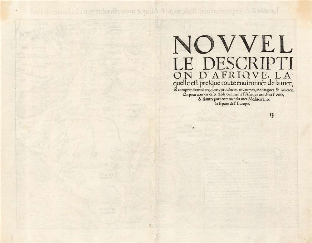
This is a 1552 French Cosmographie Universelle edition of Sebastian Münster's 1540 map of Africa, the earliest map of the continent available to the collector. For more than thirty years during the age of discovery, this map would be the predominant representation of Africa for the European reader. The purpose of the map was to reveal, to a lay readership, the still-momentous discoveries that the waters around Africa represented a navigable route to the Indian Ocean, a reality not known to classical geographers. The Latin title of the map emphasizes this:
'The map and description of the whole of Africa extended even beyond the limits of Ptolemy.'Within its generally-recognizable depiction of the shape of the continent, Münster's work presents an amalgam of sources. Most of the general detail of North Africa is derived from Ptolemaic geography, as is the depiction of the Nile with its sources in the lakes of the Mountains of the Moon (Ptolemy's assumptions about the sources of that river would remain unchallenged on maps of Africa until the end of the 17th century.) Many place names in North Africa were likely drawn from Leo Africanus' 1526 Descrittione dell 'Africa, though many - for example, Garamantes - are drawn from classical historians such as Herodotus. Münster draws on Portuguese sources for west Africa. (Cadamosto's 15th century journeys there would reveal the Cape Verde Islands, which appear here.) Numerous kingdoms are noted throughout the continent and are marked by a crown and scepter. Some of these include the Arab kingdoms of Melinde and Quiola, Meroë, where the Nubian kings are said to be buried, and Hamarichthe capital of the kingdom of the mythical Christian king Prester John. In an elegant frame, Münster includes a descriptive text describing the route taken by the Portuguese around the African coast to arrive at Calicut, modern Kozhikode on the western coast of India:
From Lusitania (Portugal) one may come by sea road to Calechut, which is the greatest commercial town in any eastern country. By the western coast of Mauritania and Getulie goes south to Cap Verde. There we find the Isles des Hesperides (also called Fortunate Isles, this is a name given by the ancients to a series of islands located to the extreme west of the then known world.) After we have passed south of Ethiopia, we find the southern cape, which is is the cape of good hope, which reaches nine degrees beyond the tropic. After a tour around the region, we came upon a promontory called Prassus, which is a land raised in the sea: Ptolemy named this region at his southern limits, which were unknown lands. Then one finds the path to go to the troglodytes, where there is a silver mine called Zaphal, which the ancients knew (this island is shown on the map but referred to as 'golden'). From there one passes through the kingdom of Melinde; then we enter the Barbaric Sea and from here we enter the Indian ocean and from there we come to Calecut.(The text is typeset, and changes typographically from edition to edition - but in all editions it appears to adhere to this same topic.)
A Visually Compelling Map
Of the early maps of Africa, Münster's is the most entertaining, with its decorative elements such as parrots, an elephant, and a giant Cyclops. The grand ship shown sailing near the Cape of Good Hope does more than decorate: it reinforces the news that those waters were navigable, a reality not reflected in Ptolemy's mapping of the world until scholars began revising the 2nd century geographers' work at the end of the 15th century. By the time atlases such as Ortelius' began entering publication, Münster's groundbreaking map would be obsolete. One result of this is that despite its broad reach, the map was not copied by other mapmakers, making the map visually unique - and an utterly essential map for the collector of maps of the discovery period in general, and Africa in particular.Publication History and Census
This map was introduced in the first 1540 edition of Munster's Geographia. It remained in each edition of that work, and was included in all editions of Munster's Cosmographia from 1544 to 1578, after which point the double-page maps of the long-lived work were replaced and updated. This particular example corresponds typographically to examples of the map appearing in the 1552 French edition of Cosmographie (Betz variant 10.) French editions of Cosmographie are well represented in institutional collections. Three separate examples of French editions of this map are catalogued in OCLC. The map appears on the market from time to time.CartographerS
Sebastian Münster (January 20, 1488 - May 26, 1552), was a German cartographer, cosmographer, Hebrew scholar and humanist. He was born at Ingelheim near Mainz, the son of Andreas Munster. He completed his studies at the Eberhard-Karls-Universität Tübingen in 1518, after which he was appointed to the University of Basel in 1527. As Professor of Hebrew, he edited the Hebrew Bible, accompanied by a Latin translation. In 1540 he published a Latin edition of Ptolemy's Geographia, which presented the ancient cartographer's 2nd century geographical data supplemented systematically with maps of the modern world. This was followed by what can be considered his principal work, the Cosmographia. First issued in 1544, this was the earliest German description of the modern world. It would become the go-to book for any literate layperson who wished to know about anywhere that was further than a day's journey from home. In preparation for his work on Cosmographia, Münster reached out to humanists around Europe and especially within the Holy Roman Empire, enlisting colleagues to provide him with up-to-date maps and views of their countries and cities, with the result that the book contains a disproportionate number of maps providing the first modern depictions of the areas they depict. Münster, as a religious man, was not producing a travel guide. Just as his work in ancient languages was intended to provide his students with as direct a connection as possible to scriptural revelation, his object in producing Cosmographia was to provide the reader with a description of all of creation: a further means of gaining revelation. The book, unsurprisingly, proved popular and was reissued in numerous editions and languages including Latin, French, Italian, and Czech. The last German edition was published in 1628, long after Münster's death of the plague in 1552. Cosmographia was one of the most successful and popular books of the 16th century, passing through 24 editions between 1544 and 1628. This success was due in part to its fascinating woodcuts (some by Hans Holbein the Younger, Urs Graf, Hans Rudolph Manuel Deutsch, and David Kandel). Münster's work was highly influential in reviving classical geography in 16th century Europe, and providing the intellectual foundations for the production of later compilations of cartographic work, such as Ortelius' Theatrum Orbis Terrarum Münster's output includes a small format 1536 map of Europe; the 1532 Grynaeus map of the world is also attributed to him. His non-geographical output includes Dictionarium trilingue in Latin, Greek, and Hebrew, and his 1537 Hebrew Gospel of Matthew. Most of Munster's work was published by his stepson, Heinrich Petri (Henricus Petrus), and his son Sebastian Henric Petri. More by this mapmaker...
Heinrich Petri (1508 - 1579) and his son Sebastian Henric Petri (1545 – 1627) were printers based in Basel, Switzerland. Heinrich was the son of the printer Adam Petri and Anna Selber. After Adam died in 1527, Anna married the humanist and geographer Sebastian Münster - one of Adam's collaborators. Sebastian contracted his stepson, Henricus Petri (Petrus), to print editions of his wildly popular Cosmographia. Later Petri, brought his son, Sebastian Henric Petri, into the family business. Their firm was known as the Officina Henricpetrina. In addition to the Cosmographia, they also published a number of other seminal works including the 1566 second edition of Nicolaus Copernicus's De Revolutionibus Orbium Coelestium and Georg Joachim Rheticus's Narratio. Learn More...
Source
Munster, Sebastian, Cosmographie Universelle, (Basel: Petri) 1552.
The Cosmographia Universalis, one of the greatest geographical and historical works of the 16th century, 'taught nearly three generations of laymen most of what they knew about the world beyond their native places' (Strauss). Filled with maps, views, and rich descriptions of places throughout Europe and beyond, it was the best general source of geographical information until the advent of Ortelius' Theatrum. It was first issued by Sebastian Munster (1488 - 1552) in its 1544 German edition, and stayed in print long after its author's death in thirty five editions, and in five languages. (Of these, the 1550 and 1552 editions are widely regarded as the most complete and truest to the author's intentions: thereafter, later editors continued to add to the work's text; editions from 1588 onwards employed an entirely different set of maps produced on Ortelius' model.) Munster's goal, initially, was to rally his homeland's humanists and scholars to produce a new map of Germany in order to 'see what kind of a land our ancestors conquered for their home... bring honor to our country and place its beauties in the clear light of day.' Munster's project quickly expanded to cover the known world in its scope to produce a 'sufficiently large volume, in which I touch upon the foundation of all nations and kingdoms, their peculiarities, rivers, mountains, customs of men, royal successions, origins of the more important cities, succinct histories, religions, characteristics and fertility of lands... in Germany, however, I tarry a little longer'.
Munster's methodology in Cosmographia is notable in particular for his dedication to providing his readers with direct access to firsthand reports of his subjects wherever possible. Many of the maps were the result of his own surveys; others, the fruit of an indefatigable letter writing campaign to scholars, churchmen and princes throughout Europe, amicably badgering them for maps, views, and detailed descriptions of their lands. For lands further afield than his letters could reach, Munster relied on the best that the authorities of northern European scholarship could offer: he was well familiar with the work of Waldseemuller and other geographers of the early 16th century, and was well connected with the best geographers of his own generation. A disproportionate number of the maps of Cosmographia show contemporary geographical knowledge of the their respective areas for the very first time: The first map to show the continents of the Western Hemisphere; the first map to focus on the continent of Asia; the first modern map to name the Pacific Ocean; the first map to use a key; the first modern map of the British Isles and so on. Even in cases where earlier maps exist, Munster's works very often remain the earliest such acquirable by the collector.
Munster's methodology in Cosmographia is notable in particular for his dedication to providing his readers with direct access to firsthand reports of his subjects wherever possible. Many of the maps were the result of his own surveys; others, the fruit of an indefatigable letter writing campaign to scholars, churchmen and princes throughout Europe, amicably badgering them for maps, views, and detailed descriptions of their lands. For lands further afield than his letters could reach, Munster relied on the best that the authorities of northern European scholarship could offer: he was well familiar with the work of Waldseemuller and other geographers of the early 16th century, and was well connected with the best geographers of his own generation. A disproportionate number of the maps of Cosmographia show contemporary geographical knowledge of the their respective areas for the very first time: The first map to show the continents of the Western Hemisphere; the first map to focus on the continent of Asia; the first modern map to name the Pacific Ocean; the first map to use a key; the first modern map of the British Isles and so on. Even in cases where earlier maps exist, Munster's works very often remain the earliest such acquirable by the collector.
Condition
Excellent. An unusually bright, strong example with only faint marginal soiling.
References
OCLC 494371878. Afriterra 463. Betz, R., The Mapping of Africa: A Cartobibliography of Printed Maps of the African Continent to 1700, #3 v. 10. Norwich, O. I., Norwich's Maps of Africa: An Illustrated and Annotated Cartobibliography, 2. MCCS No.29, #6. Rumsey 11623.102 (1540 Geographia edition).