1966 Bemporat City Plan or Map of Buenos Aires, Argentina
BuenosAires-bemporat-1966$450.00


Title
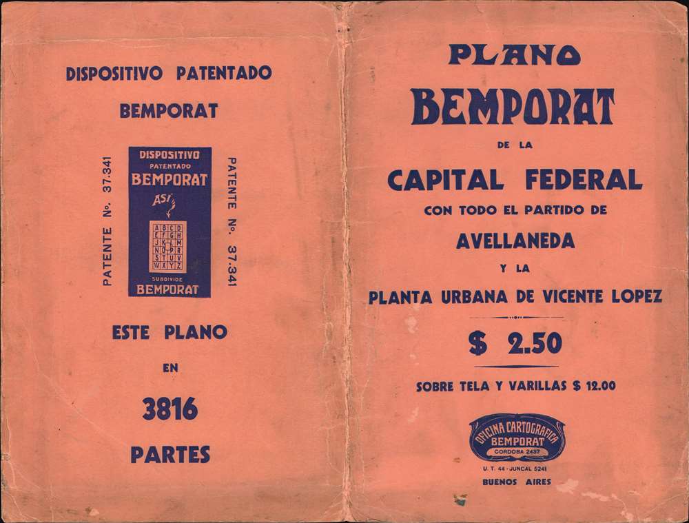
Plano Bemporat de la Capital Federal y Avellaneda.
1966 (undated) 31.75 x 45.75 in (80.645 x 116.205 cm) 1 : 20000
1966 (undated) 31.75 x 45.75 in (80.645 x 116.205 cm) 1 : 20000
Description
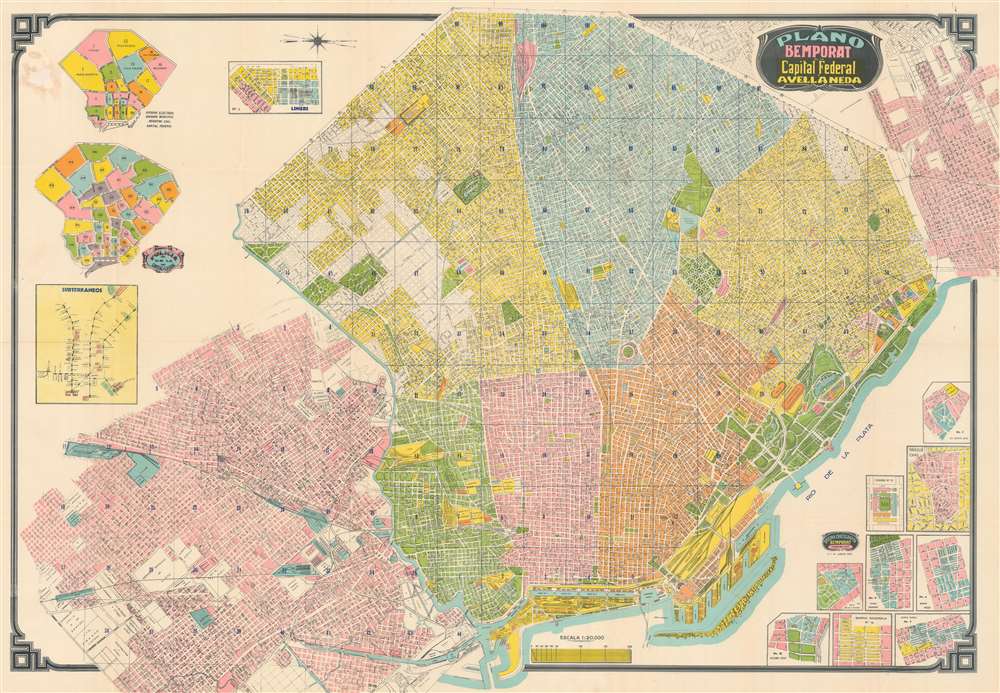
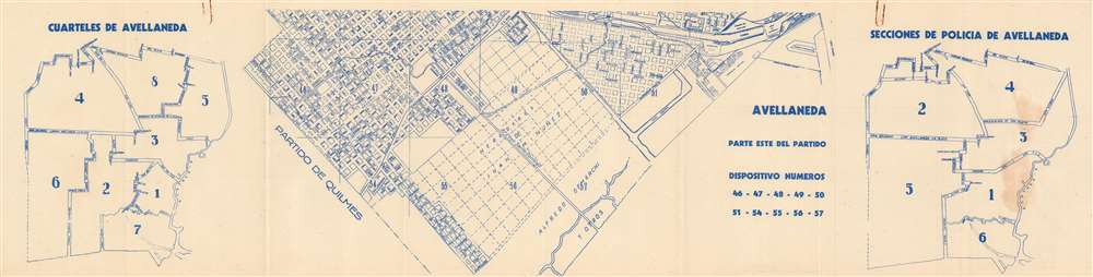
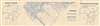
This is a c. 1966 Bemporat city map of Buenos Aires, Argentina. Buildings throughout are illustrated and identified, including the River Plate football team's stadium, the 'Hipodromo Argentino', sports clubs, hospitals, and municipal buildings. City parks and squares leap off the page in bright green. Streets throughout are labeled and city blocks numbered, facilitating navigation. Nine insets situated in the lower right detail neighborhoods. Insets in the upper left illustrate municipal divisions and police precincts. A final inset, along the left border, depicts the Buenos Aires subway network, known as the Subte de Buenos Aires.
An Ingenious Device
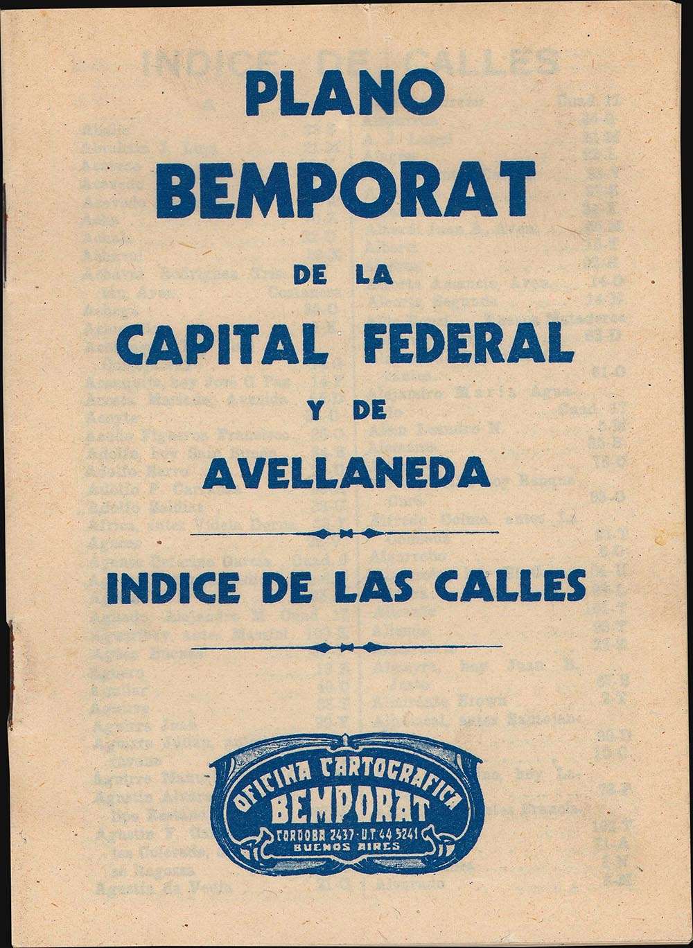
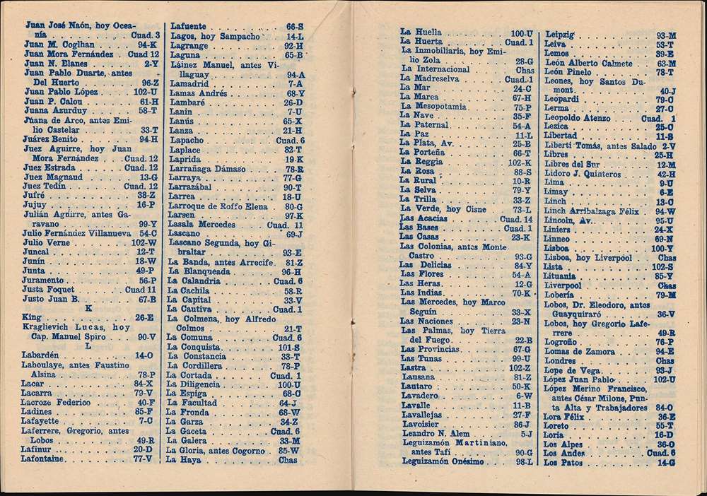
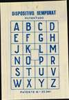
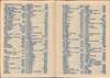
The present map is accompanied by a booklet containing an alphabetic street index and a small transparent film bearing a grid with the letters 'A' through 'Z' printed in the squares (image five and image three of this listing, respectively). These combine to create a mechanism to easily locate any street. First, one finds the street they are looking for in the index which will provide a number and a letter, '27-U' for example. The user then locates square twenty-seven on the map and places the transparent grid over that square. Finally, they look underneath the 'U' square on the transparency to find the location of the street.Dating This Map
As this map is undated, we used the subway map to arrive at the c. 1966 date. The 'C' line ends at 'Retiro' on this piece, which corresponds to a known 1966 map of Buenos Aires. That same station was known as 'Presidente Perón' in 1955. It is possible that the station was renamed 'Retiro' before 1966, but we have been unable to locate documentation that states when the station was officially renamed.Publication History and Census
This map was created and published by Oficina Cartografica Bemporat c. 1966. This is the only known cataloged example.Cartographer
Aquiles Bemporat (1869 - September 22, 1957) was an Argentine-Italian cartographer and map publisher based in Buenos Aires. He was born in Trieste, Italy and emigrated to Buenos Aires sometime in the late 1870-80s, when he was a child. His firm, Oficina Cartográfica Bemporat, was founded around 1910 and remained active until at least 1960. Bemporat himself is elusive, despite a significant publication corpus. His map c. 1915 map of Buenos Aires won a gold medal at the 1915 San Francisco Exposition Universal. A 1949 CIA analysis of his work suggested that most of the map compilation was done in house by Bemporat himself, then over 70, and printed locally by network of small independent printers. The CIA report ultimately dismissed his maps as 'insufficiently accurate for intelligence use.' Nonetheless, Bemporat's work was highly decorative and enjoyed a strong local and international following, particularly in Latin America and Europe. He was widely admired for his longevity and continued to publish until his death at age 88. More by this mapmaker...
Condition
Very good. Light wear along original fold lines. Accompanied by original street index, transparent street locator, map of Avellaneda, and original binder.