This item has been sold, but you can get on the Waitlist to be notified if another example becomes available.
1955 Dolph City Plan or Map of Fort Lauderdale, Florida
FortLauderdale-dolph-1955$175.00

Title
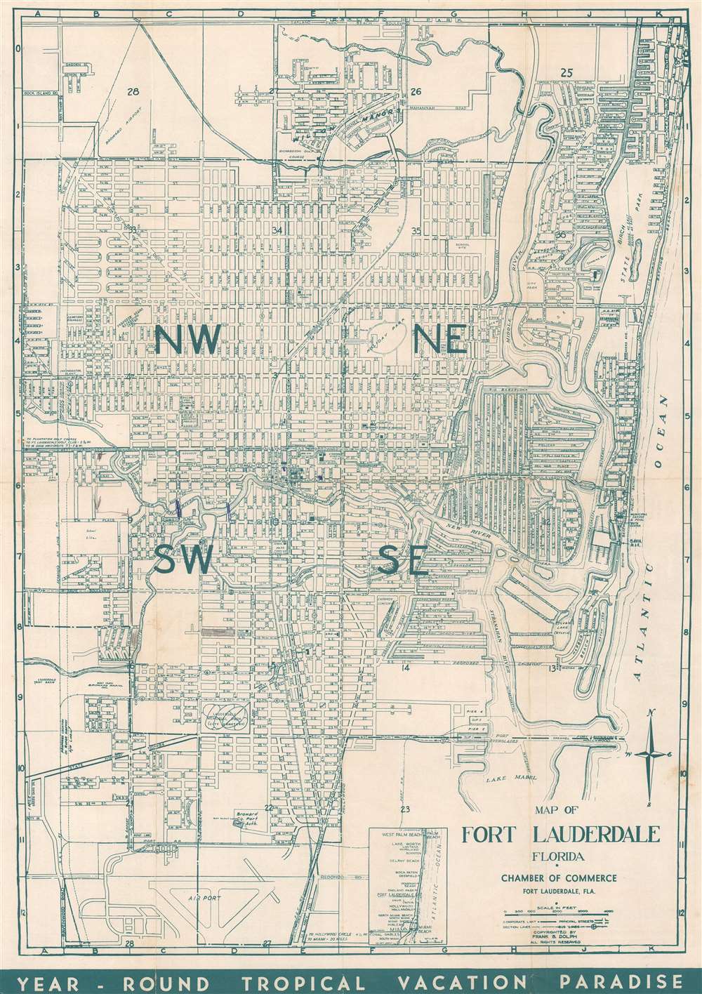
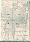
Map of Fort Lauderdale, Florida.
1955 (undated) 17.5 x 12.25 in (44.45 x 31.115 cm) 1 : 27500
1955 (undated) 17.5 x 12.25 in (44.45 x 31.115 cm) 1 : 27500
Description
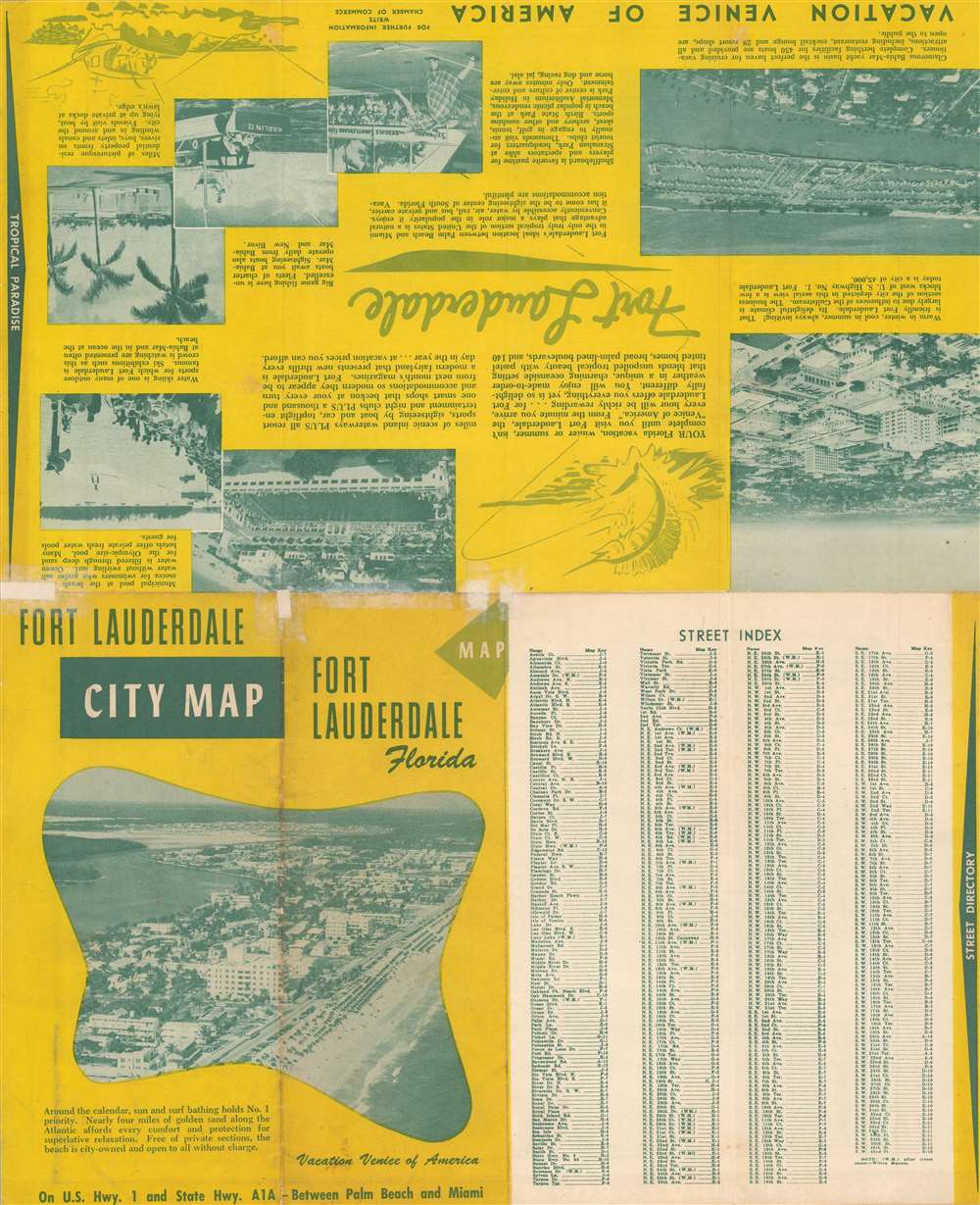
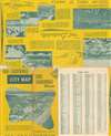
This is a c. 1955 Frank B. Dolph city plan or map of Fort Lauderdale, Florida. Depicting from Oakland Park to the Fort Lauderdale Airport. Schools, churches, hospitals, and parks, and the Florida East Coast Railway's route through Fort Lauderdale are included. Revealingly, this piece also includes references to the Jim Crow era in the South and clearly and explicitly labels segregated schools, cemeteries, and planned recreation centers. Printed photographs and text on the verso highlight activities in and around Fort Lauderdale in an effort to entice tourists.
Historical Context
After World War II, Fort Lauderdale (and Florida in general) experienced a massive population boom because returning soldiers trained in Florida before being sent overseas decided to settle there. Tourism also increased dramatically during the 1940s and 1950s, with the advent of affordable automobiles, plentiful jobs, and the Interstate Highway System. Particularly with the innovation of the interstates, Americans spent more time than ever before traveling by car. This change in behavior created the need to road maps of cities and towns across the country.Publication History and Census
This map was created and copyrighted by Frank B. Dolph and published by the Fort Lauderdale Chamber of Commerce c. 1955. This is the only known cataloged example.Cartographer
Frank B. Dolph (October 3, 1897 - November 26, 1975) was an American businessman and map publisher. Born in Great Neck, Long Island, New York, Dolph served as a Navy storekeeper during World War I. He began selling maps in 1919 after returning from England, likely for the George F. Cram Company, where he ultimately became an administrative aide. He also worked for the Rand McNally Company for some time before he founded his own map publishing firm, Dolph and Stewart, with his friend, sometime in the 1920s. Dolph and Stewart made maps throughout the 1920s and 1930s until they sold the firm in 1945 when Dolph decided to return to Florida. Dolph opened a new map publishing business, the Frank B. Dolph Map Co. in Ft. Lauderdale and published city plans of cities throughout the United States. Many of his maps were distributed by Chambers of Commerce or sold at newsstands. Real estate developers greatly appreciated his maps, those published by both the Dolph and Stewart Company and the Frank B. Dolph Company. Dolph retired as president of his firm around 1965, when he handed the business off to his son, Frank B. Dolph, Jr. Dolph worked with cartographer Theodore M. Politano for decades while operating the Frank B. Dolph Map Company. More by this mapmaker...
Condition
Good. Exhibits light wear along original fold lines. Manuscript ink and pencil marks on recto. Small areas of reinforcement and infill on verso. Text on verso.