This item has been sold, but you can get on the Waitlist to be notified if another example becomes available, or purchase a digital scan.
1929 Bodine Tourist Map of Indiana
Indiana-bodine-1929$125.00


Title
Map Showing Points of Interest in Indiana.
1929 (dated) 31.5 x 21.5 in (80.01 x 54.61 cm) 1 : 810000
1929 (dated) 31.5 x 21.5 in (80.01 x 54.61 cm) 1 : 810000
Description
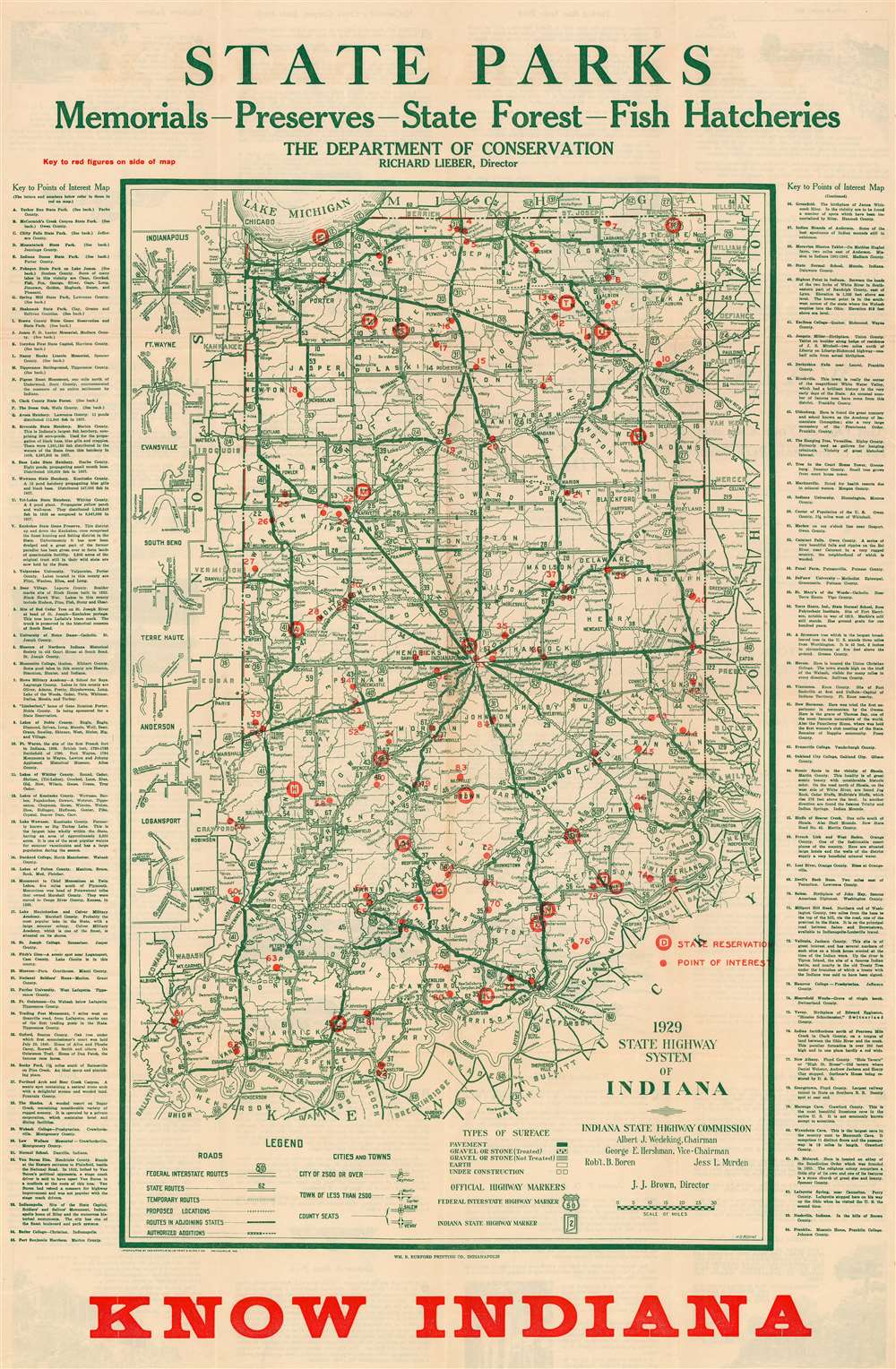
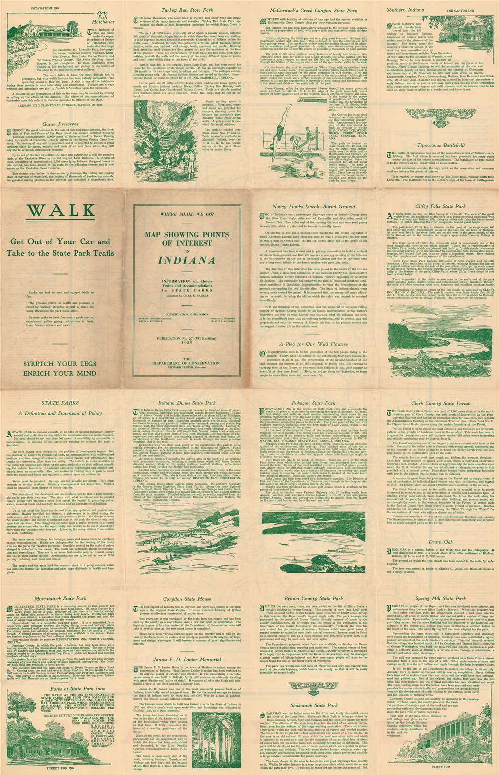
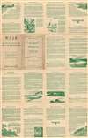
This is a 1929 Harry D. Bodine map of Indiana highlighting state parks and other important sites. Red overprinting marks twenty-two state parks, monuments, and other important sites, including Turkey Run State Park, Indiana Dunes State Park, and five fish hatcheries. Numbers mark eighty-four locations across the state: Valparaiso University, the University of Notre Dame, DePauw University, and Indiana University. Cities and towns are labeled throughout, and Indiana's road network appears in detail, with road grades (noted as pavement, gravel or stone, and earth) differentiated. Detailed descriptions of certain sites, including the fish hatcheries, Turkey Run State Park, and Spring Mill State Park, occupy the verso.
Publication History and Census
This map was drawn by Harry D. Bodine, enhanced with information compiled by Charles G. Sauers, and published in 1929 by the Indiana Department of Conservation. We note seven examples in OCLC: Ball State University, the Indiana Historical Society, the Indiana State Library, the University of Chicago, the Newberry Library, the University of Illinois at Urbana-Champaign, and the University of Minnesota Twin Cities.Cartographer
Harry D. Bodine (October 3, 1894 - February 3, 1942) was an American engineer and Army veteran. Born in Cincinnati, Ohio, Bodine arrived in Indianapolis in 1913 and not long after enlisted in the U.S. Army for a three-year enlistment. He re-enlisted in the army engineer corps in 1916. At the outbreak of World War I, Bodine held the rank of master engineer sergeant, senior grade. Bodine was among the first enlisted men deployed to Europe under the command of General John J. Pershing. He roomed with Captain Eddie Rickenbacker (who would become the most successful fighter ace of the war with twenty-six aerial victories and a recipient of the Medal of Honor) while crossing the Atlantic and ultimately served under General Pershing in Europe for twenty-eight months. Bodine returned to Indianapolis after World War I and became the cartographer for the Indiana State Highway Commission soon after his return. He held this position until his death from a heart attack, which he suffered while giving a lecture at the Oriental Masonic lodge at the age of forty-eight. He was survived by his wife Agnes and their two sons. More by this mapmaker...
Condition
Very good. Light wear along original fold lines. Closed margin tears professionally repaired on verso. Slight loss at some fold intersections.
References
OCLC 63256554.