1916 Caspar City Plan or Map of Milwaukee, Wisconsin
Milwaukee-caspar-1916$400.00

Title
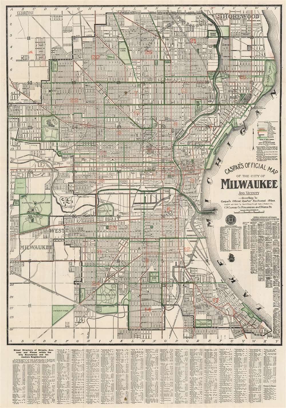
Caspar's Official Map of the City of Milwaukee and Vicinity.
1916 (dated) 32.25 x 22.5 in (81.915 x 57.15 cm) 1 : 18000
1916 (dated) 32.25 x 22.5 in (81.915 x 57.15 cm) 1 : 18000
Description
A fine example of the 1916 first edition of Carl / Charles N. Caspar's 'Official' map of Milwaukee, Wisconsin. This lithograph map covers from Shorewood to Humboldt Park and from Lake Michigan westward as far as the National Soldier's Home and Calvary Cemetery. Green and red overprinting illustrate city wards, electrical lines, and parks. The map further notes streets, house number, railroads, electric car lines, parks, steam railways, section numbers, rivers and even the 'bathing pavilion.' A comprehensive index appears below the map.
Publication History and Census
This map was first published in 1916, as here. The map was compiled and drawn by the civil engineers George W. Cloos and Harry J. Farmer. It was published by Charles N. Caspar. We have identified examples of the 1916 edition in only 3 institutions. Later titles of the same name were issued as late as 1930.CartographerS
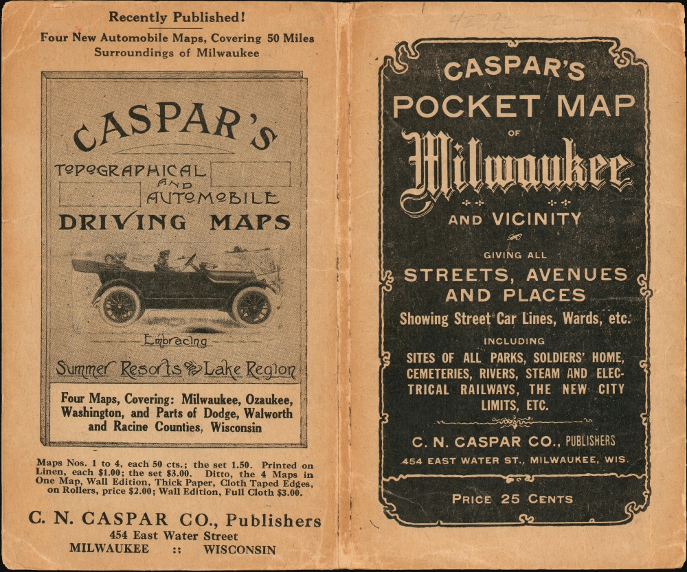
Charles Nicholas Caspar (October, 1854 - 1928), also known as Carl, was a German-American bookseller, antiquarian bookseller, and publisher based in Milwaukee, Wisconsin. Caspar was born in Germany and emigrated to the United States in 1868, becoming a citizen in 1878. Under the imprint of 'C. N. Caspar Company', he published maps, atlases, postcards, and touristic brochures. Most of his cartographic work is local in nature and focuses on Milwaukee and the immediate vicinity. The firm also did considerable business in German language material. The retail outlet was called C. N. Caspar Company Book Emporium and located at 454 East Water St., Milwaukee. More by this mapmaker...
George W. Cloos (May 8, 1887 - October 1, 1927) was a German-American civil engineer and real estate insurance appraiser active in Milwaukee, Wisconsin, in the early 20th century. Cloos was born in Milwaukee to German immigrant parents. Cloos compiled several regional atlases and maps in partnership with fellow German-American Carl / Charles N. Caspar. Learn More...
Condition
Very good. Exhibits light wear along original fold lines. Verso repairs to fold separations. Exhibits small area of infill near Washington Park. Accompanies original binder.
References
OCLC 64581627. Wisconsin Historical Society, D GX9029 M663 1916 C.