This item has been sold, but you can get on the Waitlist to be notified if another example becomes available.
1913 U.S.G.S. New York & New Jersey Atlas
NYAtlas-usgs-1815$750.00

Title
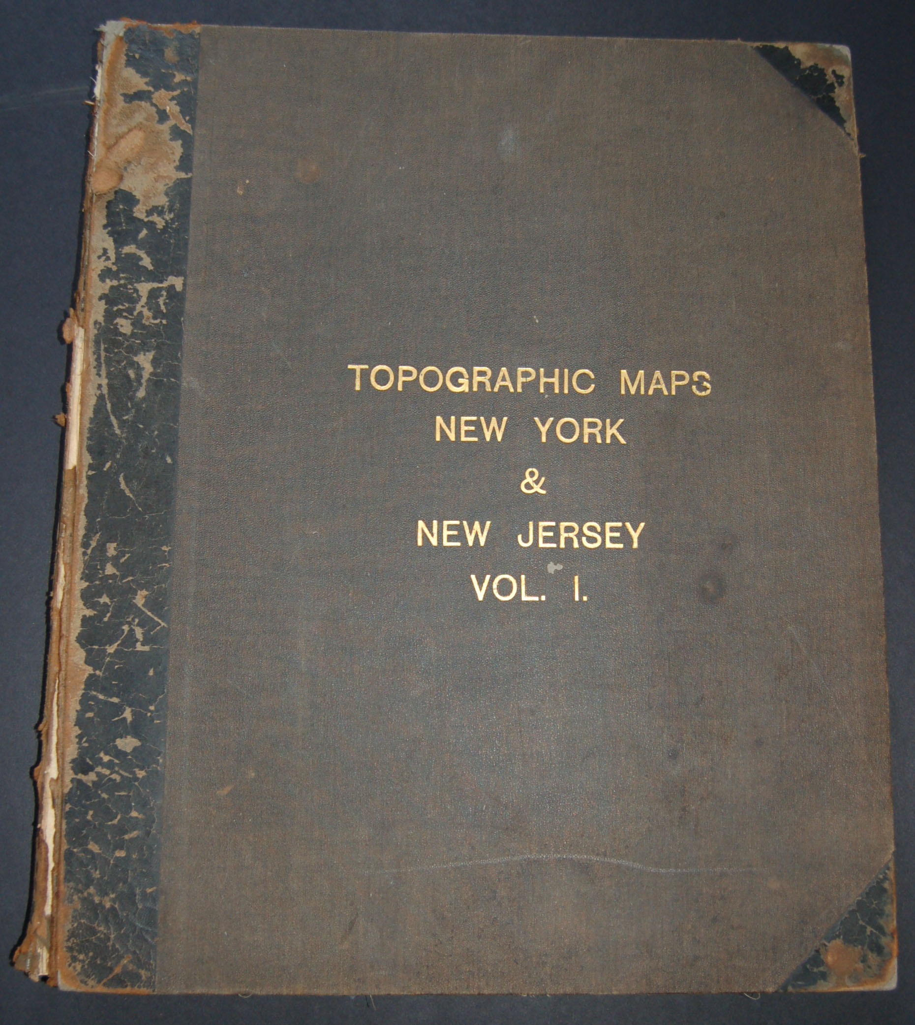
Topographic Maps New York & New Jersey Vol. 1
1913 (dated) 20.5 x 17 in (52.07 x 43.18 cm)
1913 (dated) 20.5 x 17 in (52.07 x 43.18 cm)
Description
This rare find is a c. 1915 atlas of parts of New York and New Jersey produced by the U.S. Geological Survey. Contains some seventy linen backed maps of New York State and Northern New Jersey including the highly desirable New York City series. The United States Geological survey was (and is) an offshoot of the U.S. Costal Survey whose goal it was to make accurate topographic maps of the entire United States. These stunning maps offer a wealth of political and topographic detail of the regions they cover – often including even individual streets, farms, and buildings. A truly remarkable collection of maps. Contains the following maps: Richfield Springs Quadrangle, Cooperstown Quadrangle, Utica Quadrangle, Little Falls Quadrangle, Lassellsville Quadrangle, Winfield Quadrangle, Canajoharie Quadrangle, Hartwick Quadrangle, Richmondville Quadrangle, Fonda Quadrangle, Amsterdam Sheet, Schenectady Sheet, Schoharie Quadrangle, Albany Sheet, Troy Sheet, Delhi Quadrangle, Hobart Quadrangle, Coxsakie Sheet, Kinderhook Quadrangle, Phoenicia Quadrangle, Kaaterskill Quadrangle, Catskill Sheet, Rosendale Quadrangle, Rhinebeck Quadrangle, Newburg Quadrangle, Poughkeepsie Quadrangle, Schunemunk Quadrangle, West Point Quadrangle, Goshen Quadrangle, Greenwood Lake Quadrangle, Ramapo Quadrangle, Tarrytown Quadrangle, Hackettstown Quadrangle, Lake Hopatcong Quadrangle, Morristown Quadrangle, Patterson Sheet, Harlem Sheet, High Bridge Quadrangle, Somerville Quadrangle, Plainfield Quadrangle, Staten Island Quadrangle, Brooklyn Quadrangle, Raritan Quadrangle, Passaic Quadrangle, Trenton Quadrangle, Navesink Quadrangle, Lambertville Quadrangle, Princeton Quadrangle, New Brunswick Quadrangle, Burlington Quadrangle, Berne Quadrangle, Remsen Quadrangle, Boonville Quadrangle, Port Leyden Quadrangle, Lowville Quadrangle, Carthage Quadrangle, Watertown Quadrangle, Antwerp Quadrangle, Theresa Quadrangle, Clayton Quadrangle, Alexandria Bay Quadrangle, Grindstone Quadrangle, Cape Vincent Sheet, Stony Island Quadrangle, Sacketts Harbor Quadrangle, Oriskany Sheet, Oneida Sheet, Chittenago Quadrangle, Syracuse Quadrangle, New Berlin Quadrangle, Gloversville Quadrangle.
Cartographer
The Office of the Coast Survey (later the U.S. Geodetic Survey) (1807 - present), founded in 1807 by President Thomas Jefferson and Secretary of Commerce Albert Gallatin, is the oldest scientific organization in the U.S. Federal Government. Jefferson created the "Survey of the Coast," as it was then called, in response to a need for accurate navigational charts of the new nation's coasts and harbors. The first superintendent of the Coast Survey was Swiss immigrant and West Point mathematics professor Ferdinand Hassler. Under the direction of Hassler, from 1816 to 1843, the ideological and scientific foundations for the Coast Survey were established. Hassler, and the Coast Survey under him developed a reputation for uncompromising dedication to the principles of accuracy and excellence. Hassler lead the Coast Survey until his death in 1843, at which time Alexander Dallas Bache, a great-grandson of Benjamin Franklin, took the helm. Under the leadership A. D. Bache, the Coast Survey did most of its most important work. During his Superintendence, from 1843 to 1865, Bache was steadfast advocate of American science and navigation and in fact founded the American Academy of Sciences. Bache was succeeded by Benjamin Pierce who ran the Survey from 1867 to 1874. Pierce was in turn succeeded by Carlile Pollock Patterson who was Superintendent from 1874 to 1881. In 1878, under Patterson's superintendence, the U.S. Coast Survey was reorganized as the U.S. Coast and Geodetic Survey (C & GS or USGS) to accommodate topographic as well as nautical surveys. Today the Coast Survey is part of the National Oceanic and Atmospheric Administration or NOAA. More by this mapmaker...
Condition
Maps are all in fine condition thought a few exhibit age minor age toning. Book is in good condition though spine has heavy wear and is weak. Maps are great gifts and perfect decorative additions to any home or office.
References
None.