1893 Crocker and Southern Pacific Railroad Map of the United States
RailwaySteamshipSouthernPac-crocker-1893$650.00
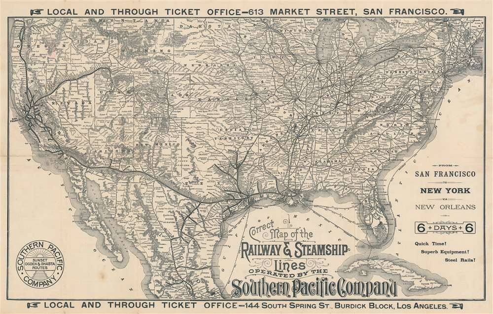

Title
Correct Map of the Railway and Steamship Lines Operated by the Southern Pacific Company.
1893 (dated) 16.75 x 26.75 in (42.545 x 67.945 cm) 1 : 7121664
1893 (dated) 16.75 x 26.75 in (42.545 x 67.945 cm) 1 : 7121664
Description
This is an 1893 H. S. Crocker and Southern Pacific railroad map of the United States, promoting transcontinental rail travel. Bold lines trace Southern Pacific's routes through the southern United States, throughout California, north along the west coast to Portland, Oregon, and east to Ogden, Utah, where it connected with the Union Pacific. Towns serviced along Southern Pacific's routes are identified. While Southern Pacific's rails did not make it all the way to New York, dashed lines highlight steamship connections between New Orleans and New York, as well as Cedar Key and Punta Gorda, Florida. The rest of the nation's railroad network appears as well, underscoring the incredible ability to travel almost anywhere.
The Southern Pacific
The Southern Pacific Railroad was founded in 1861 by the 'Big Four' of western railroad construction, Collis P. Huntington, Leland Stanford, Mark Hopkins, and Charles Crocker (the present mapmaker's brother). Construction was delayed by the American Civil War (1861 - 1865) and further sidelined while the Bit Four focused their attention on the Central Pacific. Once the CP was completed in 1869, and work began in earnest on the Southern Pacific - originally intended as a CP branch line to southern California. It reached Arizona in 1877 and New Orleans in 1883. The railroad expanded its coverage throughout the southwest, along the Pacific coast as far as Oregon, and throughout Texas and the western Gulf littoral. In 1885, the Southern Pacific took over the Central Pacific. The Southern Pacific sill operates as part of the Union Pacific system.Publication History and Census
This map was created by the H.S. Crocker Company for the Southern Pacific Company and published in February 1893. This is the only known cataloged example of the February 1893 edition of this map. An OCLC reference exists for a map bearing the same title from January 1893.Cartographer
Henry Smith Crocker (January 31, 1832 - July 18, 1904) was an American printer, publisher, and railroad investor active in northern California in the middle to late 19th century. Crocker followed the Gold Rush to California, settling in Sacramento in the 1850s. He established his printing concern, H. S. Crocker, in 1856. Apparently his first office was little more than a tent with a small sign. Crocker relocated to San Francisco in 1871. He became extremely wealthy almost overnight by leveraging his ties to the Central Pacific Railroad, which is brother, Charles Crocker (1822 - 1888) founded. In 1885, Crocker constructed a large five-story printing factory, powered by his own private steam plant, then the largest and most sophisticated printing concern on the west coast. Crocker's prosperity continued and by the time he died in 1904, he was the head of a large and wealthy family. Although Crocker passed on, his company, H.S. Crocker, continued to operate and remains active to this day. More by this mapmaker...
Condition
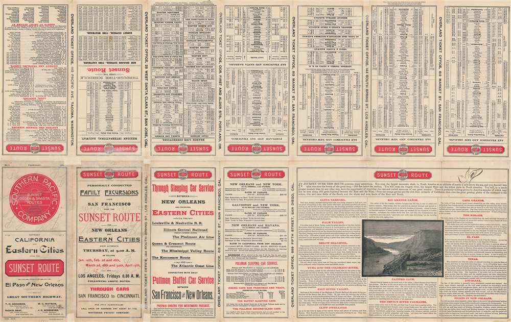
Very good. Verso repairs to fold separations. Small areas of infill along fold lines and at fold intersections. Promotional information and timetables on verso.