
This item below is out of stock, but another example (left) is available. To view the available item, click "Details."
Details
1922 Yvorra and Barlier City Plan or Map of Tunis, Tunisia
1922 (dated) $550.00
1899 Tardy Map of Tunis, Tunisia
Tunis-tardy-1899$375.00

Title
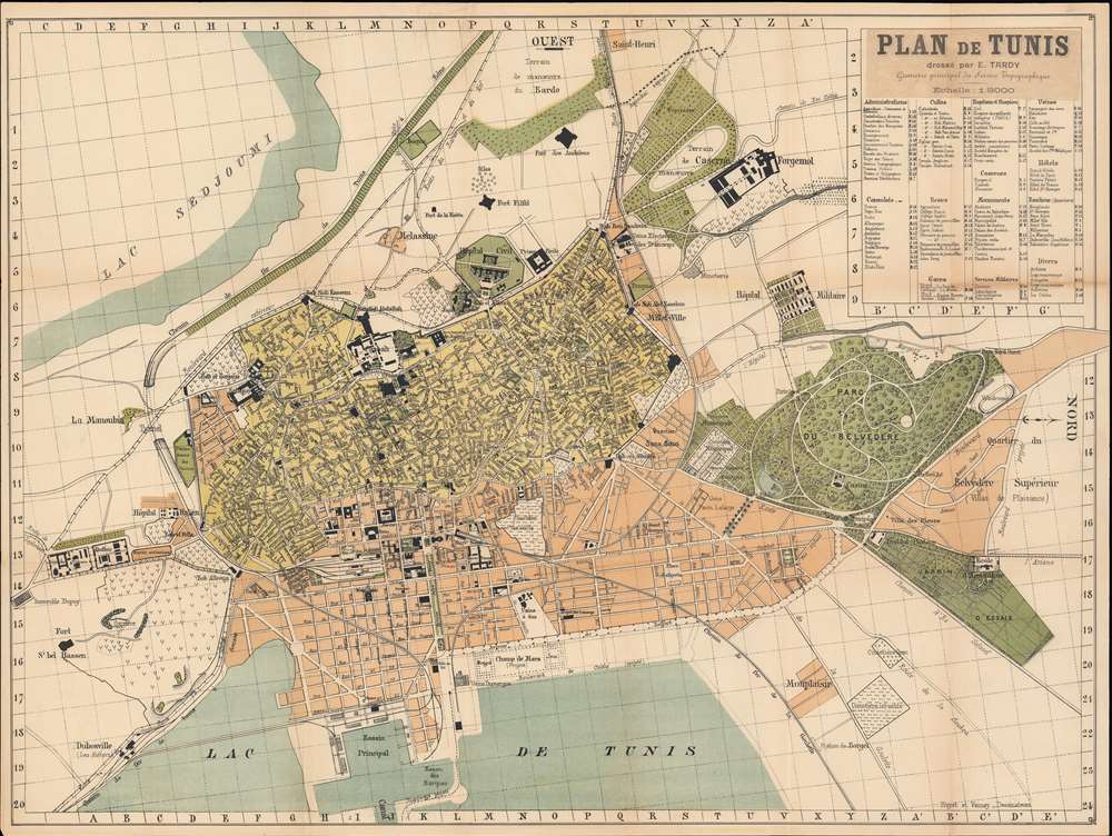
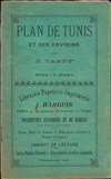
Plan de Tunis.
1899 (undated) 23.75 x 31 in (60.325 x 78.74 cm) 1 : 8000
1899 (undated) 23.75 x 31 in (60.325 x 78.74 cm) 1 : 8000
Description
A scarce Tunisian-published map of Tunis, the capital of Tunisia, dating to about 1899 by the French cartographer E. Tardy. Oriented to the west, this map covers all of Tunis as it appeared at the end of the 19th century. Streets, parks, rail lines, important buildings, and neighborhoods are identified. A table in the upper right offers coordinates for consulates, schools, government offices, hotels, hospitals, banks, monuments, train stations, and military establishments.
Historical Context
When this map was prepared Tunis was governed by a combination of local authorities and the French Protectorate (1881 - 1956). It was a golden age for Tunis, and a period of expansive urban development that saw the construction of grand parks, boulevards, waterworks, public transport, electrical works, and rail lines. At the time, nearly half of the population was European.Publication History
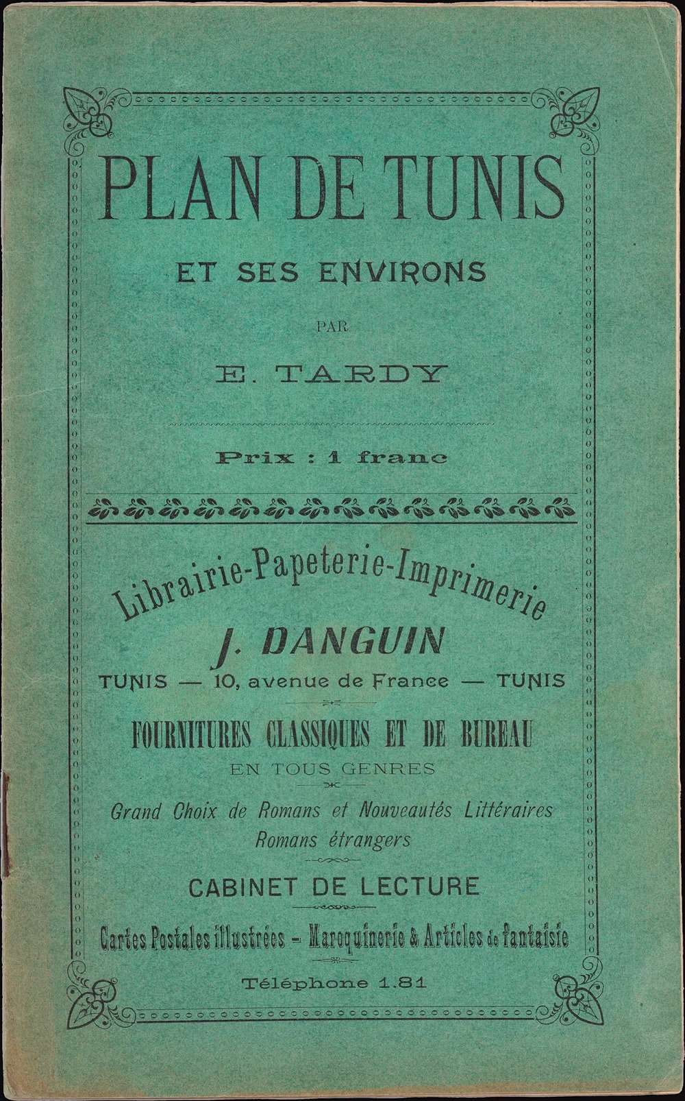
This map was drawn by E. Tardy and engraved by Hayet and Vanney. Tardy was the principal geographer of the French Service Topographique. The map was published in Tunis by J. Danguin (10, Avenue de France, Tunis). This map is very scarce. The OCLC identifies only one example, in a different edition, located at the Bibliothèque Nationale de France.Condition
Very good. Minor wear on original fold lines. Verso repair on several fold intersections. Separated but accompanied by original binder. Blank on verso.
References
OCLC 494961211.