
Azara, Félix de
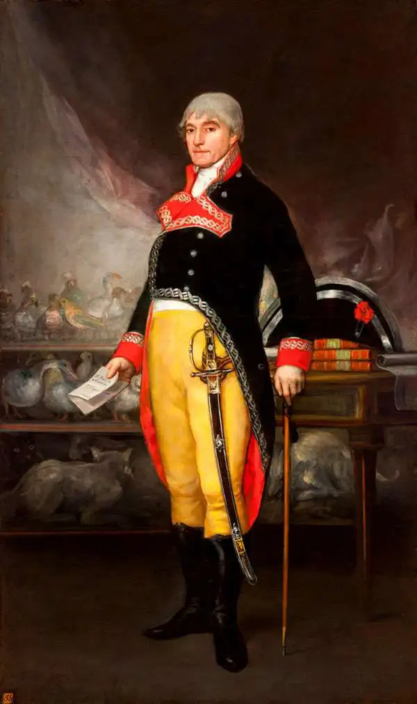
Azara, Félix de (May 18, 1742 - October 20, 1821) was a Spanish military officer, naturalist, and engineer. He joined the Army, and received training as an engineer in a Spanish military academy. His thirteen year career in the Army would see him promoted to Brigadier General. He spent twenty years in the Rio de la Plata region of South America as a delegate under the treaty of San Ildefonso, during which period he undertook to create an accurate map of the region. On the surveys, he also recorded the fauna the region, in particular cataloguing nearly four hundred species of bird. On his return to Europe in 1801 he wrote and published in Paris his Voyage dans l'Amerique meridionale depuis 1781 jusqu'en 1801 (1809) which contained his observations on the region's geography, natural features, and indigenous groups. His work was praised for thoroughness and accuracy, and was well regarded by Darwin. He died of pneumonia on October 20, 1821.
First printed plan of Asunción, Paraguay.
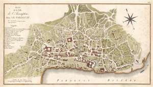
Plan de la ville de l'Assomption : dans le Paraguay.
$1,500.00
Acquire
- Digital Map Information
- Suitable for large format printing
- DPI: 600
- File Size: 14.04 MB
- File Type: ZIP / TIFF
- ICC color profile embedded
- Delivered instantly via download link
This is an extremely rare 1809 map of the city of Asunción, the capital of Paraguay, produced by the Spanish border commissioner and military engineer Félix de Azara. It is the first printed plan of the city - at this stage little more than a village with a Cathedral. Azara lived there for twenty years' surveying and fixing the borders between the Spanish and the Portuguese colonies in South America. This plan is thus the result of first-hand survey work by an actual resident. An anonymous manuscript, the apparent source for the present map (with the same title), likely to be in Azara's hand, survives in the Bibliotheque Nationale de France. (more details)
Diplomat's synthesis of Paraguayan Geography.
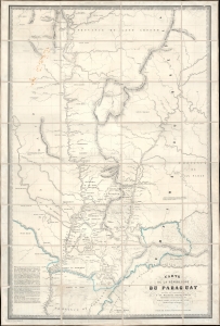
Carte de la Républiuque Du Paraguay dédiée et présentée à sa Majesté Napoléon III Empereur des Français, par le Comte Lucien de Brayer Consul de France au Paraguay. Publiée pat en 1863.
$7,000.00
Acquire
- Digital Map Information
- Suitable for large format printing
- File Size: 62.01 MB
- File Type: ZIP / TIFF
- ICC color profile embedded
- Delivered instantly via download link
This is an extremely rare 1863 map of Paraguay, produced by Alfred Lucien de Brayer, Napoleon III of France's consul to the South American country. It was published to commemorate the 10th year of France's diplomatic recognition of Paraguay's independence and probably as an attempt to bolster de Brayer's damaged reputation with the Emperor. The map is superbly detailed, laying out Paraguay and its frontier regions. It details the administrative regions within the country; neighboring indigenous tribes and nations are noted, as well as the bordering regions of Brazil and Argentina. (more details)
A diplomat's synthesis of Paraguayan Geography.
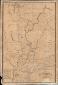
Carte de la Républiuque Du Paraguay dédiée et présentée à sa Majesté Napoléon III Empereur des Français, par le Comte Lucien de Brayer Consul de France au Paraguay.. Publiée pat en 1863.
$7,000.00
Acquire
- Digital Map Information
- Suitable for large format printing
- File Size: 214.29 MB
- File Type: ZIP / TIFF
- ICC color profile embedded
- Delivered instantly via download link
This is an extremely rare 1863 map of Paraguay, produced by Alfred Lucien de Brayer, Napoleon III of France's consul to the South American country. It was published to commemorate the 10th year of France's diplomatic recognition of Paraguay's independence, and probably as an attempt to bolster de Brayer's damaged reputation with the Emperor. The map is superbly detailed, laying out Paraguay and its frontier regions. It details the administrative regions within the country; neighboring indigenous tribes and nations are noted as well as the bordering regions of Brazil and Argentina. (more details)