
Berthrong, Ithamar Parsons
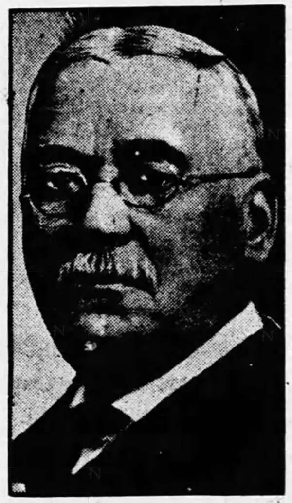
Ithamar Parsons Berthrong (February 26, 1853 - July 29, 1936) was an American surveyor, inventor, and draftsman active with the General Land Office of the U.S. Department of the Interior. Berthrong was born in Rochester, New York. He was made chief of the drafting division on March 23 of 1907. He is associated with many of the most important early 20th century maps issued by the GLO, among them, important maps of Arizona, Colorado, Wyoming, Oregon, Washington, and more.
Spanish-Era Land Grants in New Mexico.
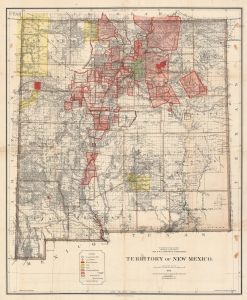
Territory of New Mexico.
$1,200.00
Acquire
- Digital Map Information
- Suitable for large format printing
- File Size: 233.72 MB
- File Type: ZIP / TIFF
- ICC color profile embedded
- Delivered instantly via download link
This is a large and detailed 1896 Robert H. Morton and General Land Office map of the New Mexico Territory. The map highlights private land grants, American Indian reservations, military bases, and forest reserves. Of greatest interest are the illustrated land grants, including the Tierra Amarilla Grant, the Beaubien and Miranda Grant, and the Mora Grant. Other annotations represent private grants that required new boundary surveys, were unconfirmed, or that had been rejected or dismissed by the U.S. government. Yellow areas represent reservations granted to the Jicarilla Apache, the Navajo, the Southern Ute, the Zuni, and the Mescalero Apache. (more details)
Making Yellowstone accessible - the early years.
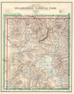
Yellowstone National Park Compiled from the official Records of the General Land Office, U.S. Geological Survey and other sources under the direction of I.P. Berthrong Chief of Drafting Division G. L. O. 1908.
$600.00
Acquire
- Digital Map Information
- Suitable for large format printing
- File Size: 44.55 MB
- File Type: ZIP / TIFF
- ICC color profile embedded
- Delivered instantly via download link
This is a 1908 General Land Office map of Yellowstone National Park, compiled and drawn by Ithamar Berthrong, who produced many important maps of the West during his tenure with the Land Office. The map records the ongoing infrastructure work, begun in 1903, to make the expansive park more manageable and accessible to visitors. (more details)
Indigenous Americans and the Water Wars.
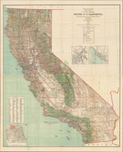
State of California compiled from the official Records of the General Land Office and other sources.
$950.00
Acquire
- Digital Map Information
- Suitable for large format printing
- Full resolution TIFF file
- ICC color profile embedded
- Delivered instantly via download link
An epic two-sheet 1913 wall map of California, standing nearly five feet tall, compiled by Andrew Dinsmore of the General Land Office. The map illustrates California's complex interrelations with indigenous peoples and water supply. (more details)
Land Reclamation in Colorado.
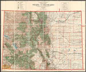
State of Colorado Compiled chiefly from the Official Records of the General Land Office with supplemental data from other map making agencies under the direction of I.P. Berthrong, Chief of Drafting Division, G.L.O.
$850.00
Acquire
- Digital Map Information
- Suitable for large format printing
- File Size: 110.35 MB
- File Type: ZIP / TIFF
- ICC color profile embedded
- Delivered instantly via download link
This is a highly detailed 1921 map of Colorado issued by the General Land Office in 1921. The map covers the state noting National Forests (Green), American Indian Reservations (Yellow), National Parks (Purple), Military Reserves (Red), and Reclamations Projects (Blue). The major reclamation projects, which take the form of enormous irrigation dams, appear here in western Colorado and include the Grand Valley Project and the Uncompaghre Projects. Lesser reservoirs appear here and there throughout. (more details)