
Bradford, Lodowick Harrington
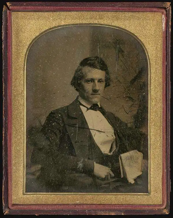
Lodowick Harrington Bradford (November 10, 1820 - December 13, 1885) was a Boston based engraver lithographer active in the second half of the 19th century. Bradford was born in Boston, Massachusetts. He studied as a line engraver before transitioning to the then new art of lithography. He even invented his own photolithographic ambrotype process that created a durable photographic picture on lithographic stone. In 1849 he partnered with Ebenezer Tappen (1815 - 1854) to form the Boston firm of Tappan and Bradford. The partnership remained active until Tappan's untimely death in January, 1854. From 1854 to 1859 Bradford continued to operate the firm, but the imprint changed to 'L. H. Bradford and Company.' It is not clear who the 'and Company' was, possibly Tappan's heirs? From late 1859 until his 1870, he printed under 'L. H. Bradford.' His last known lithographs appeared in 1860, but he did continue copper and steel engraving until his death. Bradford was married to Martha Brown, from an old Gloucester Family. After his wedding in 1849, he divided his time between Gloucester and Boston. In Gloucester he made the acquaintance of the local painter Fitz Henry Lane (1804 - 1865) and worked with him to produce several views in the 1850s. He died on the road between Boston and Gloucester in 1885.
Boston's First Modern System of Piped Water.
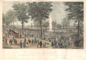
View of the Water Celebration, On Boston Common, October 25th 1848.
$2,000.00
Acquire
- Digital Map Information
- Suitable for large format printing
- DPI: 600
- File Size: 55.98 MB
- File Type: ZIP / TIFF
- ICC color profile embedded
- Delivered instantly via download link
A striking hand-tinted 1848 lithograph view depicting Boston Common during a ceremony to celebrate the opening of a publicly-administered city water supply system. The introduction of a public water system transformed Boston and, despite much debate, inaugurated an age of large-scale civil infrastructure projects that transformed Boston and other American cities. (more details)
Planning the Back Bay.
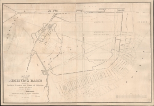
Plan of the Receiving Basin Showing Certain Avenues and lines of Release.
$3,500.00
Acquire
- Digital Map Information
- Suitable for large format printing
- DPI: 600
- File Size: 154 MB
- File Type: ZIP / TIFF
- ICC color profile embedded
- Delivered instantly via download link
One of the earliest published maps of the Back Bay, Boston, surveyed in 1852 in anticipation of the Back Bay Landfill. The map represents one of the earliest representations of the Back Bay, then a tidal swamp, overlaid with streets and avenues, thus part of Boston's grid. It shows the beginnings of the Back Bay Landfill efforts, as well as the beneficiaries of the project who would build enormous fortunes on the development. (more details)
New Hampshire Railroad boom. Printed in Nashua!
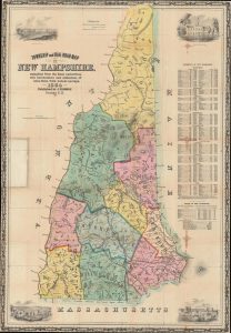
Township and Rail Road Map of New Hampshire, compiled from the best authorities with corrections and alternation of town lines from actual surveys.
$1,200.00
Acquire
- Digital Map Information
- Suitable for large format printing
- DPI: 600
- File Size: 988.93 MB
- File Type: ZIP / TIFF
- ICC color profile embedded
- Delivered instantly via download link
This is the 1854 first edition Jacob Richard Dodge map of New Hampshire, one of a few such maps published in New Hampshire. The map was issued to illustrate the growth of railroad networks throughout the state. Dodge emphasized railroad construction in the Merrimack River corridor, where the railroad fueled a textile boom in Nashua and Manchester. (more details)
Pre-landfill Boston from Telegraph Hill.
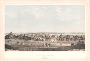
View of Boston from Telegraph Hill, S. Boston.
$4,000.00
Acquire
- Digital Map Information
- Suitable for large format printing
- Full resolution TIFF file
- ICC color profile embedded
- Delivered instantly via download link
This is Bernard Spindler 1854 bird's-eye view of Boston, Massachusetts. This is among the earliest and rarest published views of Boston. (more details)
Lane's largest lithographic view of Gloucester Harbor.
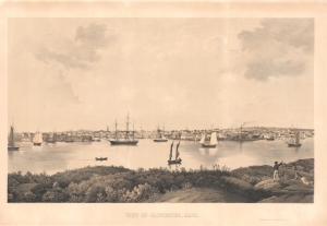
View of Gloucester, Mass.
$2,500.00
Acquire
- Digital Map Information
- Suitable for large format printing
- Full resolution TIFF file
- ICC color profile embedded
- Delivered instantly via download link
A charming 1859 lithographic view of Gloucester, Massachusetts, by the legendary Cape Ann marine painter Fitz Henry Lane. This is the third and largest of Lane's lithographic views of Gloucester. The view looks northeast towards Gloucester from Rocky Neck, an outcropping near Smith's Cove. While dimensionally the largest of Lane's Gloucester views, this also has the narrowest coverage, roughly 74°, allowing him to focus on the bustling Harbor Cove and adjacent Duncan's Point, where his studio was located. (more details)
Iron Rails across the Granite State.
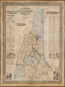
Township and Rail Road Map of New Hampshire.
$3,500.00
Acquire
- Digital Map Information
- Suitable for large format printing
- File Size: 4144.03 MB
- File Type: ZIP / TIFF
- ICC color profile embedded
- Delivered instantly via download link
This is Jacob Richard Dodge's 1860 wall map of New Hampshire, printed by L. H. Bradford. It provides a detailed overview of the state, highlighting its rail network and including statistics, geographical information, and vignette illustrations. (more details)