
Longman
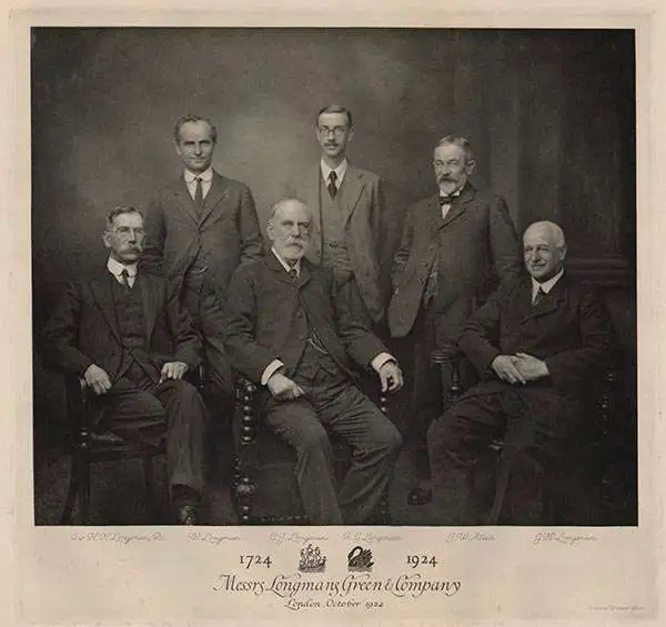
Longman (fl. c. 1720 - present) is a long-lived and venerable British publishing firm initially founded in the 1720s by Thomas Longman (1699 - 1755). Longman was born in Bristol and in 1716 was apprenticed to John Osborn, a London printer and bookseller. Completing his apprenticeship, Longman requested and was granted Osborn's daughter's hand in marriage. Shortly afterward, Longman acquired the stock of Robinson Crusoe publisher William Taylor and, along with Osborn, established a printing office on Paternoster Row. The two published numerous works, including Samuel Johnson's Dictionary. Around the same time that Osborn retired, Thomas Longman's nephew, another Thomas Longman (1730 - 1797), joined the firm, which was subsequently renamed T. and T. Longman. On the death of the original Thomas Longman, the nephew took over the firm and eventually passed it on to his son, Thomas Norton Longman (1771 - 1842). Thomas Norton seemed to have had a passion for partnering and, over the years, added Owen Rees (1730 - 1797), Thomas Brown (c. 1777 - 1869), and three more mysterious partners, Hurst, Orme, and Green, to the corporation's partner list. For many years, the firm published as Longman, Hurst, Rees, Orme, Brown & Green. Thomas Norton eventually passed the firm to his own sons, Thomas and William, who, during their tenure, bought out most of the minor partners, renaming the firm Longmans, Green & Co. Later, Thomas Longman's son took full control of the firm, renaming it Longman. During World War II, most of their plates and stock were destroyed, but the company nonetheless survived and went public in 1948. Longman was eventually acquired by the media conglomerate Pearson and continues to publish as Pearson Longman.
Humboldt on the Orinoco.
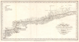
Map of the Course of the Oroonoko, from the Mouth of the Rio Sinaruco to Angostura. Compiled from Pobservations made on the Spot by Alexandre de Humboldt.
$500.00
Acquire
- Digital Map Information
- Suitable for large format printing
- File Size: 4.57 MB
- File Type: ZIP / TIFF
- ICC color profile embedded
- Delivered instantly via download link
This is an 1818 Alexander von Humboldt map of part of the Orinoco River in modern-day Venezuela. It was compiled to illustrate Humboldt's epic voyage through South America, resulting in his Cosmos, an era-defining scientific work. (more details)
Proving the connection between the Orinoco and Amazon.
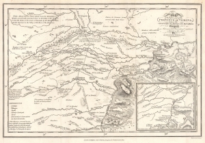
Map of the Eastern part of the Province of Verina, between the Oronooko ther Abura and the Rio Meta Compiled from Astronomical Observations and materials collected on the Spot by Alexander Humboldt.
$550.00
Acquire
- Digital Map Information
- Suitable for large format printing
- File Size: 4.59 MB
- File Type: ZIP / TIFF
- ICC color profile embedded
- Delivered instantly via download link
This is an 1818 Alexander von Humboldt map of parts of the modern-day states of Apure and Bolívar in Venezuela. The map provides greater context for Humboldt and Bonpland's epic voyage on the Rio Apure to the Orinoco. The copiously annotated map ('abounds with Crocodies') allowed Humboldt's Personal Narrative readers to better grasp the geography, challenges, and terrain. This voyage proved the connection between the Orinoco and the Rio Negro, and thus the Amazon, solving a long-pondered cartographic mystery. Humboldt's greater voyage through South America, resulted in his most famous work, Cosmos, an era-defining scientific achievement. (more details)
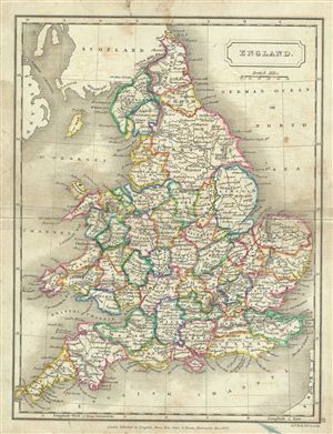
England.
$100.00
Acquire
- Digital Map Information
- Suitable for large format printing
- DPI: 300
- File Size: 3.83 MB
- File Type: ZIP / TIFF
- ICC color profile embedded
- Delivered instantly via download link
This is a fine example of Samuel Butler's 1822 map of england. It covers both england and Wales from Northumberland to Cornwall and includes the Isle of Man. At this time in history, the Kingdom of Great Britain and the Kingdom of Ireland had been consolidated ... (more details)
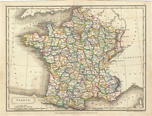
France.
$100.00
Acquire
- Digital Map Information
- Suitable for large format printing
- DPI: 300
- File Size: 3.09 MB
- File Type: ZIP / TIFF
- ICC color profile embedded
- Delivered instantly via download link
This is a fine example of Samuel Butler's 1822 map of France divided into departments. It covers from Le Nord to the eastern Pyrenees and from Finistere to Upper and Lower Rhine. After 1790, the French provincial system was replaced by the department system ... (more details)
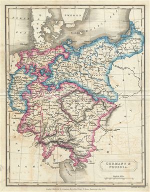
Germany & Prussia.
$100.00
Acquire
- Digital Map Information
- Suitable for large format printing
- DPI: 300
- File Size: 2.9 MB
- File Type: ZIP / TIFF
- ICC color profile embedded
- Delivered instantly via download link
This is a fine example of Samuel Butler's 1822 map of Germany and Prussia. It covers from Holstein and the Baltic Sea south as far as the Gulf of Venice, including the modern day countries of Germany, with parts of Poland, Czech Republic, Austria, Italy and ... (more details)
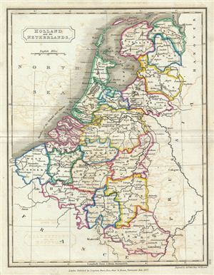
Holland and the Netherlands.
$100.00
Acquire
- Digital Map Information
- Suitable for large format printing
- DPI: 300
- File Size: 2.89 MB
- File Type: ZIP / TIFF
- ICC color profile embedded
- Delivered instantly via download link
This is a fine example of Samuel Butler's 1822 map of the Netherlands (Holland) and Belgium. It covers all of Belgium and Holland from the North Sea to the Kingdom of France. Just a few years after this map was drawn, the Belgian Revolution of 1830 led to ... (more details)
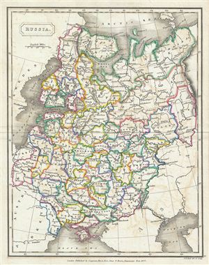
Russia.
$100.00
Acquire
- Digital Map Information
- Suitable for large format printing
- DPI: 300
- File Size: 3.6 MB
- File Type: ZIP / TIFF
- ICC color profile embedded
- Delivered instantly via download link
This is a fine example of Samuel Butler's 1822 map of Russia. It covers the european part of Russia from Lapland to the Caspian Sea and from the Baltic Sea to the Ural Mountains. In 1825, shortly after this map was drawn, Russian army officers, called the ... (more details)
Most comprehensive and detailed mid-19th century map of Arabia.

A Map of Arabia and Syria Laid down chiefly from original Surveys Under the Supervision of Leiut. Colonel Chesney, R.A. F.R.S. and drawn by W. H. Plate, L.L.D.
$22,000.00
Acquire
- Digital Map Information
- Suitable for large format printing
- Full resolution TIFF file
- ICC color profile embedded
- Delivered instantly via download link
This is William Henry F. Plate's important 1849 map of Arabia, the Persian Gulf, Syria, and Mesopotamia. The product of a wave of new exploration and surveys in the first half of the 19th century, this map is the most significant and detailed map of Arabia and the Persian Gulf to appear in the mid-19th century. (more details)
Best general mapping of Arabia in Persia - drawn from first hand reports and exploration.
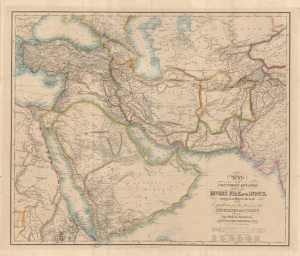
Map of the Counties Situated between the Rivers Nile and Indus; serving as an Inex to the work on the Expedition for hte Survey of the Euphrates and Tigris Drawn from Materials furinished by Lieut. Colonel Chesney R. S. F.R.S.
$12,000.00
Acquire
- Digital Map Information
- Suitable for large format printing
- Full resolution TIFF file
- ICC color profile embedded
- Delivered instantly via download link
This is a 1850 general map of Arabia and Persia, illustrating the route of Rawdon Chesney's Euphrates Expedition (1835 - 1837). Decades before the Suez Canal, Chesney proposed the Euphrates as a viable route for steamers to reach the Persian Gulf and, thus, India, avoiding the dangerous months-long voyage around Africa. The cartography presented is the most advanced general mapping of Arabia and Persia then available, being either directly derived from the 1830s Euphrates Expedition or collected from local sources en route. (more details)