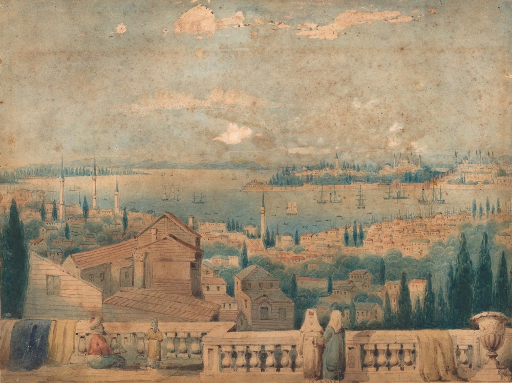
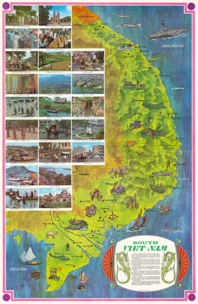
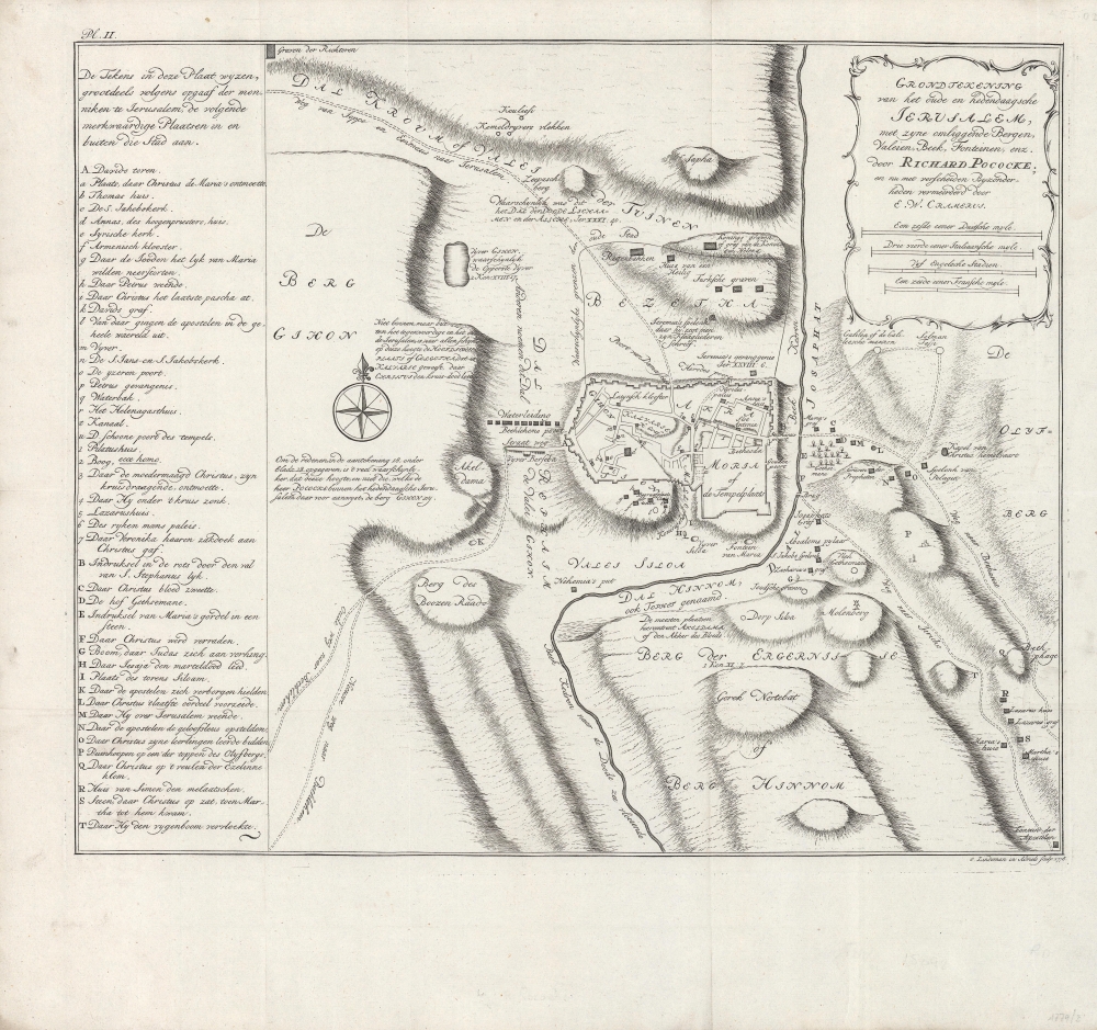
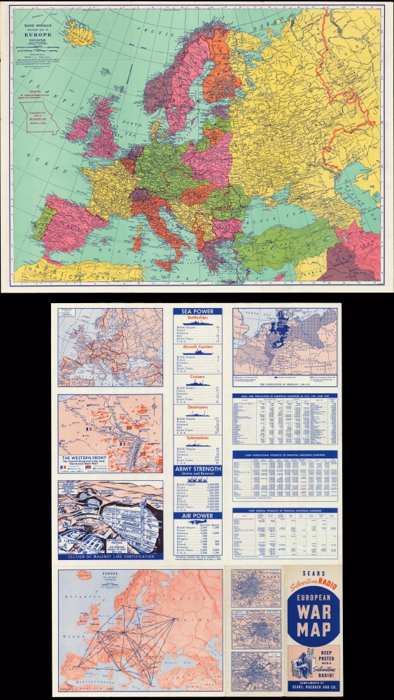
Most recently added antique and rare maps as of 8/22/2025.
1947 O'Toole Pictorial Map of Cape Ann, Essex County, Massachusetts
Pictorial map of Cape Ann, Massachusetts.
$750.00

1916 Ordnance Survey Map of German East Africa, Mahenge Region, World War I
The Allies Gain the Upper Hand in East Africa.
$750.00

1936 Jo Mora Vignettes of Native American Life
A Brilliant Collage of Native American Life.
$700.00

1890 Burleigh View of Bennington, Vermont
Layers of history in Bennington.
$500.00

1863 Johnson Map of California, Nevada, New Mexico, Arizona, Colorado, and Utah
The Southwest at the height of the Civil War.
$500.00

1858 Sonnenstern Map of Nicaragua - first scientific map of that nation!
First official map of Nicaragua in its first edition.
$6,000.00

1861 Wyld Map of the United States during the Civil War
British panic over the 1861 Secession Crises.
$3,000.00

1989 Huge Soviet Military Topographic Depot map of Kiev (Kyiv)
Largest Soviet-era map of Ukraine's capital.
$2,000.00

1638 Merian View of Istanbul, Turkey
The world's most beautiful skyline.
$1,800.00

1930 Trzaska, Evert, and Michalski Road Map of Poland
Second Polish Republic.
$1,250.00

1959 Colonial Survey Atlas of Kenya (First Edition!)
Statistical Mapping of Kenya at the End of the British Protectorate.
$1,100.00

1917 Lloyd Myers World War I Propaganda Recruiting Broadside
Recruiting for the British cause during World War I.
$950.00

1800 Watercolor View of Istanbul
Straddling Europe and Asia.
$800.00

1970 Roberts Pictorial Map of South Vietnam
Vietnam War Pictorial Propaganda likely bought by a soldier in Vietnam.
$400.00

1778 Pococke / Lindeman Map of Jerusalem
De Heilige Stad.
$350.00

1939 Sears and Roebuck Map of the Predicted Theatre of World War II
An optimistic view of the upcoming war.
$175.00