Most recently added antique and rare maps as of 8/19/2025.
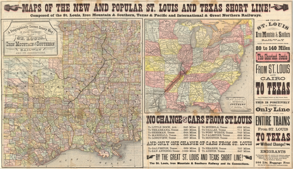
1878 St. Louis Texas Short Line Railroad Broadside: St. Louis to Texarkana
Stunning railroad broadside promoting emigration to Texas.
$900.00

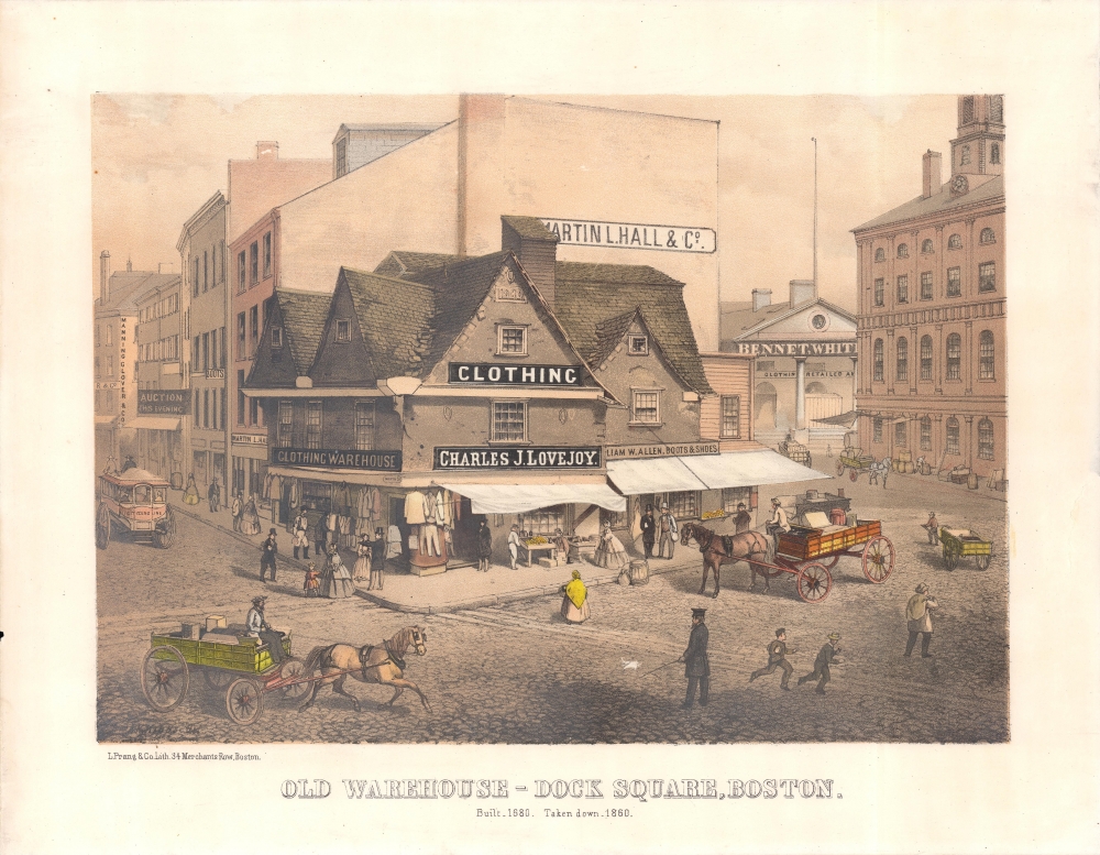
1861 Prang View of Old Feather Store, Dock Square and Faneuil Hall, Boston
One of the oldest buildings in one of America's oldest cities.
$800.00

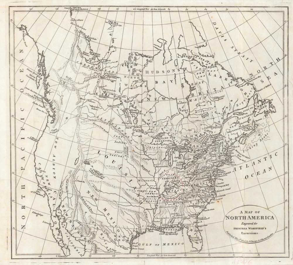
1806 Darton and Harvey Map of North America
On the eve of Lewis and Clark.
$750.00

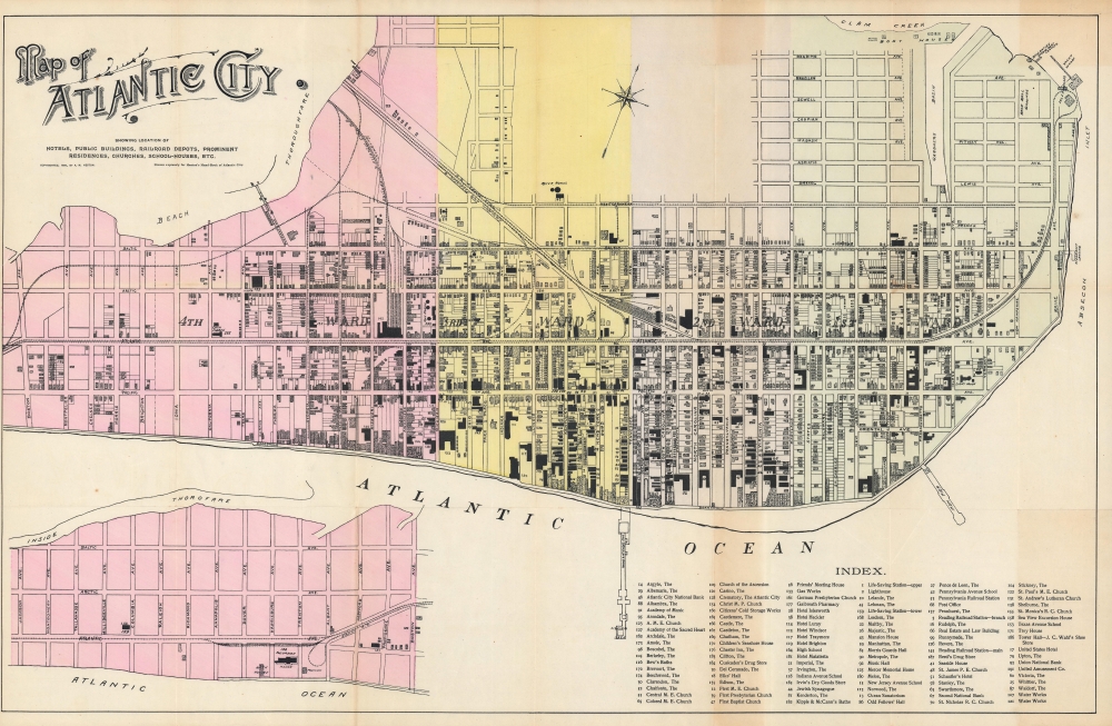
1895 Heston Map of Atlantic City, New Jersey
Atlantic City develops as a beachside tourist resort.
$750.00

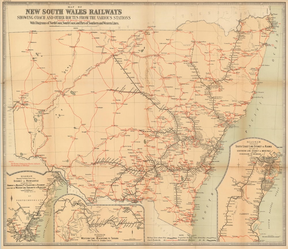
1895 Department of Lands Map of Railways in New South Wales, Australia
Rail and coach routes in New South Wales.
$600.00

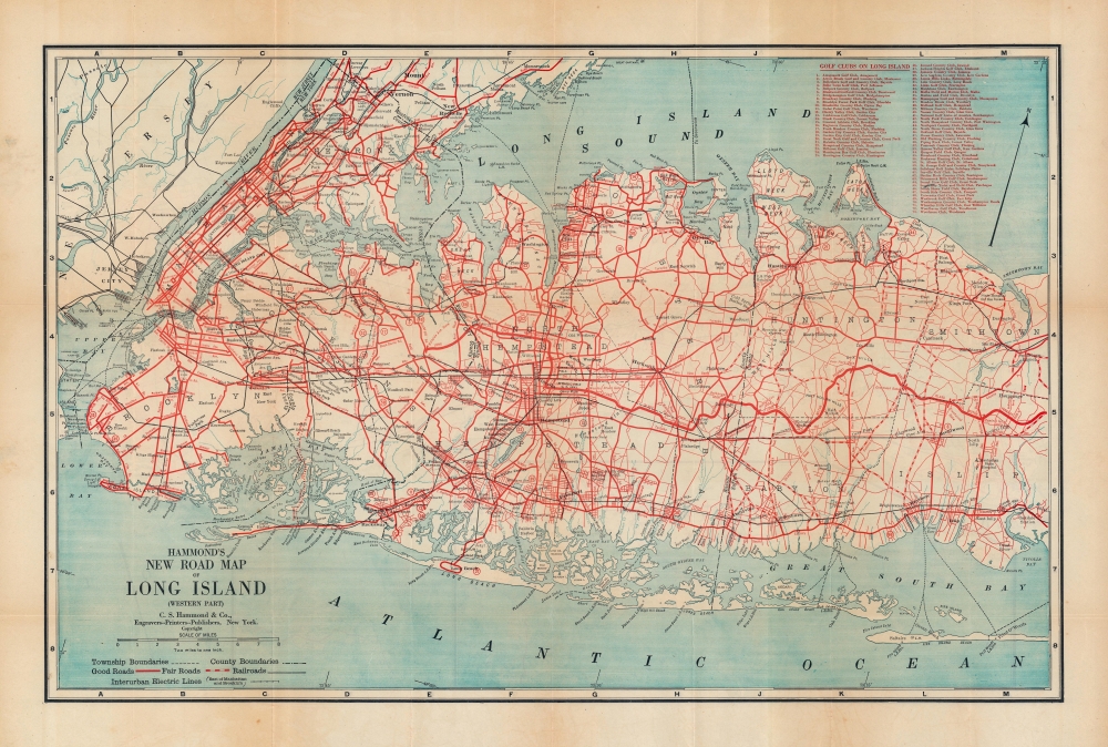
1914 Hammond Road Map of Long Island w/ New York City
Parkways, turnpikes, motor roads.
$600.00

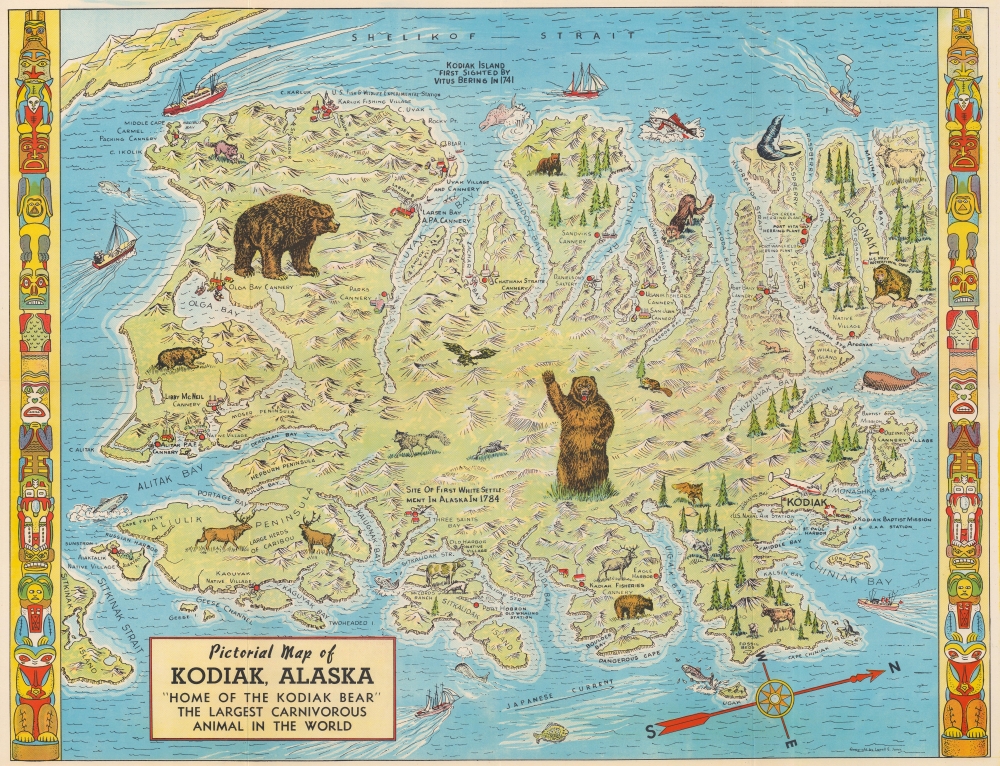
1948 Jones Pictorial Map of Kodiak Island, Alaska
Kodiak opens to tourism.
$450.00

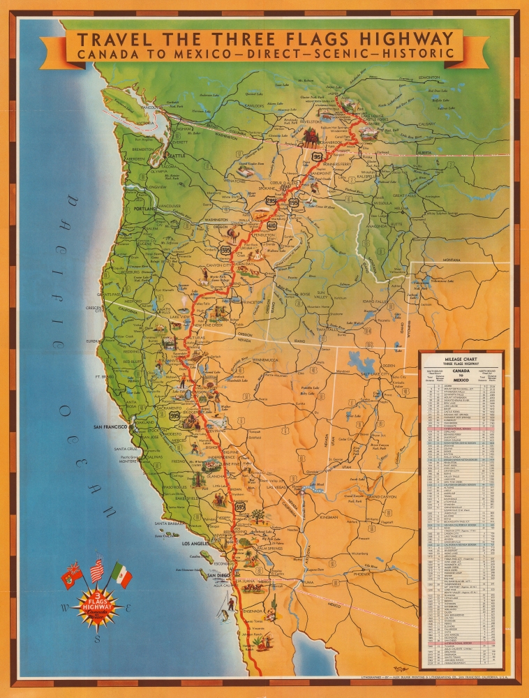
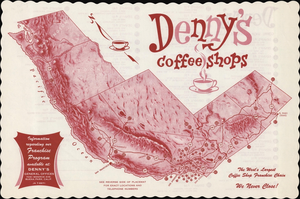
1950s Vittier Pictorial Map of U.S. Highway 395, the Three Flags Highway
An American highway with a cult following.
$375.00

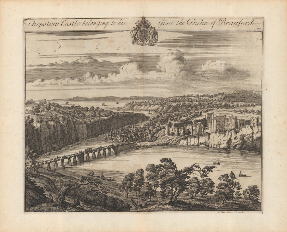
1707 Kip View of Chepstow Castle, Wales
The oldest stone castle in Britain?
$350.00

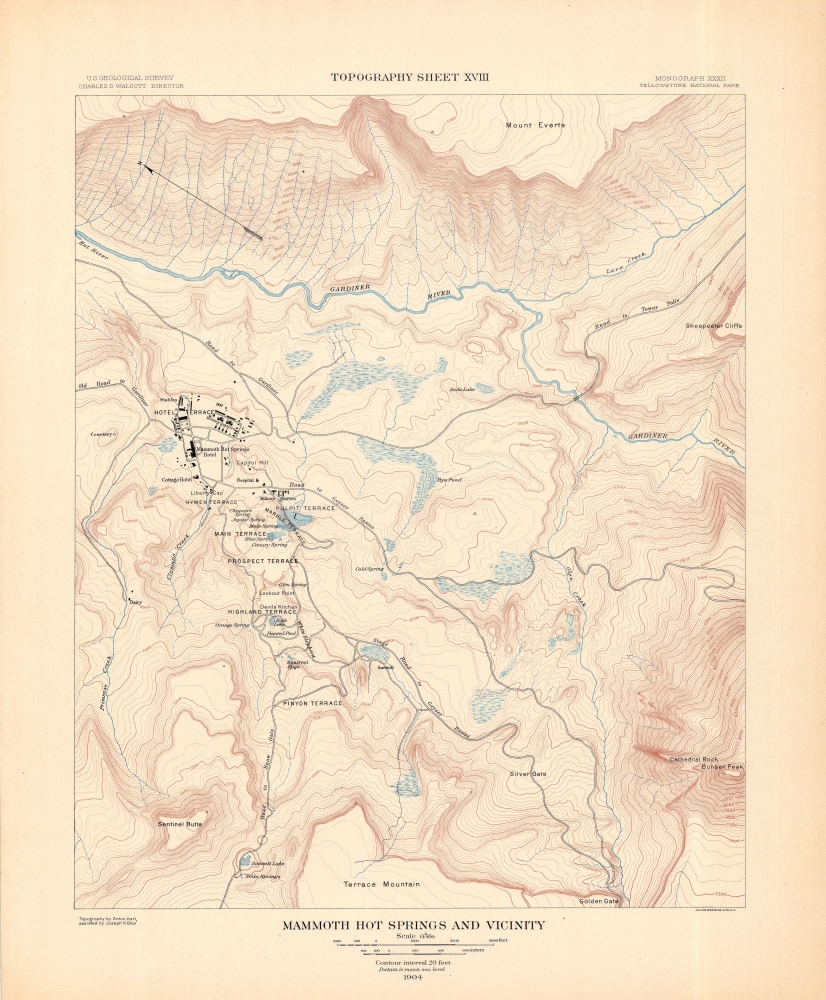
1904 U.S.G.S. Topographic Map of Mammoth Springs, Yellowstone National Park
Mammoth Hot Springs and the immediate vicinity.
$250.00

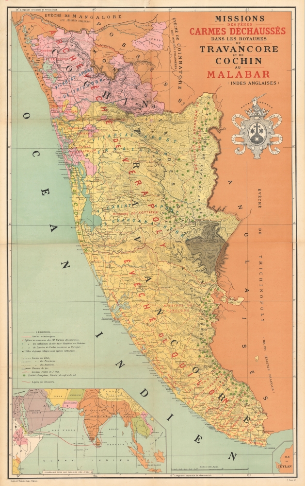
1892 Roux Chromolithograph Map of Missions in Malabar, India
The 'Barefoot Fathers' on the Malabar Coast.
$2,500.00

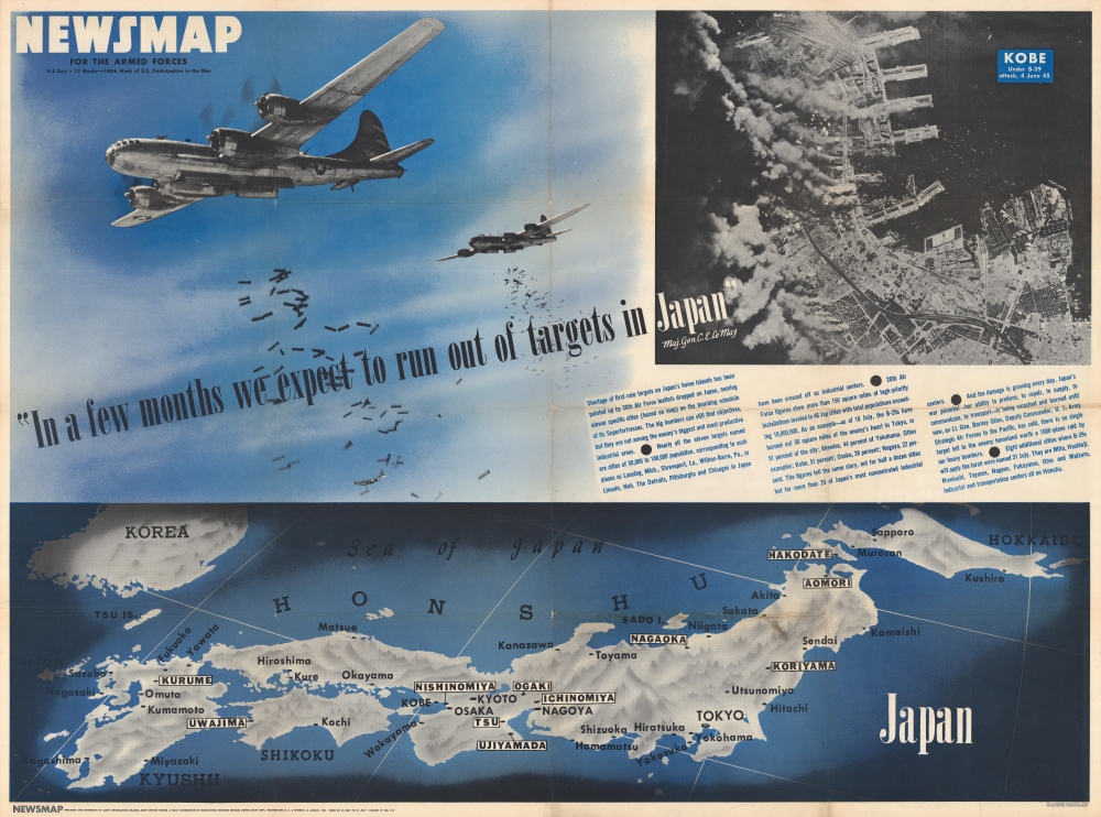
1945 Newsmap of Japan and the Strategic Bombing Campaign
Published the day the U.S. dropped the atomic bomb on Hiroshima.
$800.00

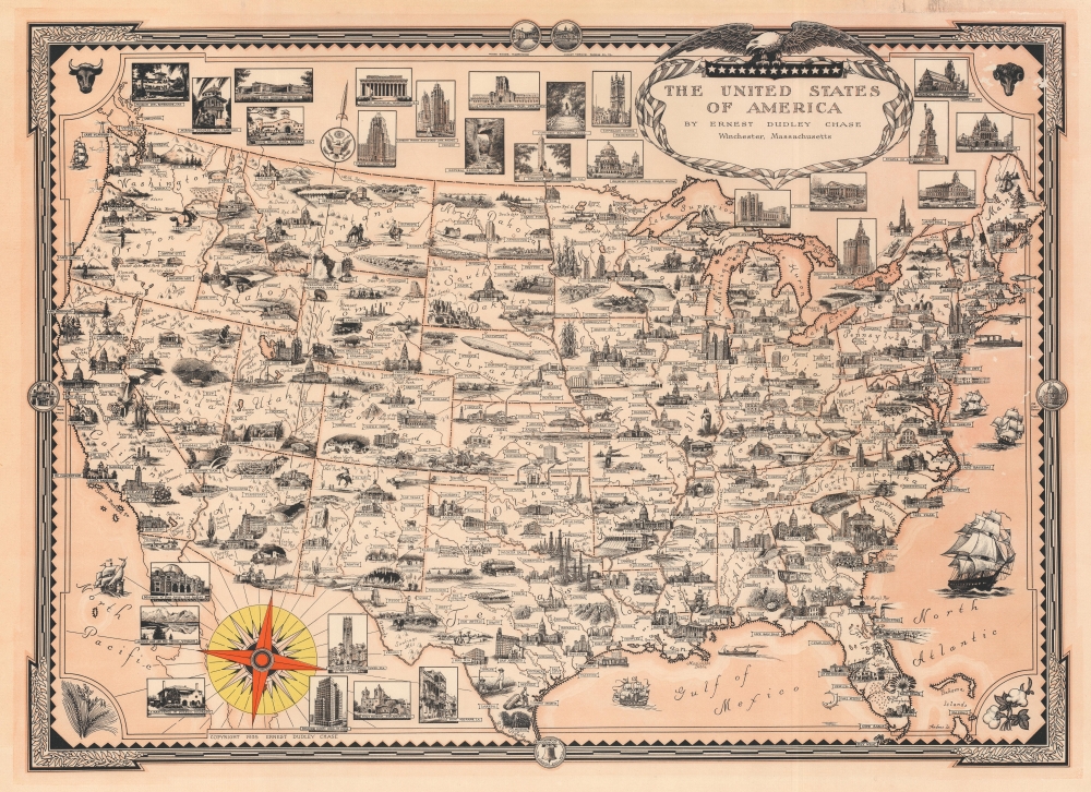
1935 Chase Pictorial Map of the United States
Visual summary of the U.S.A.
$650.00

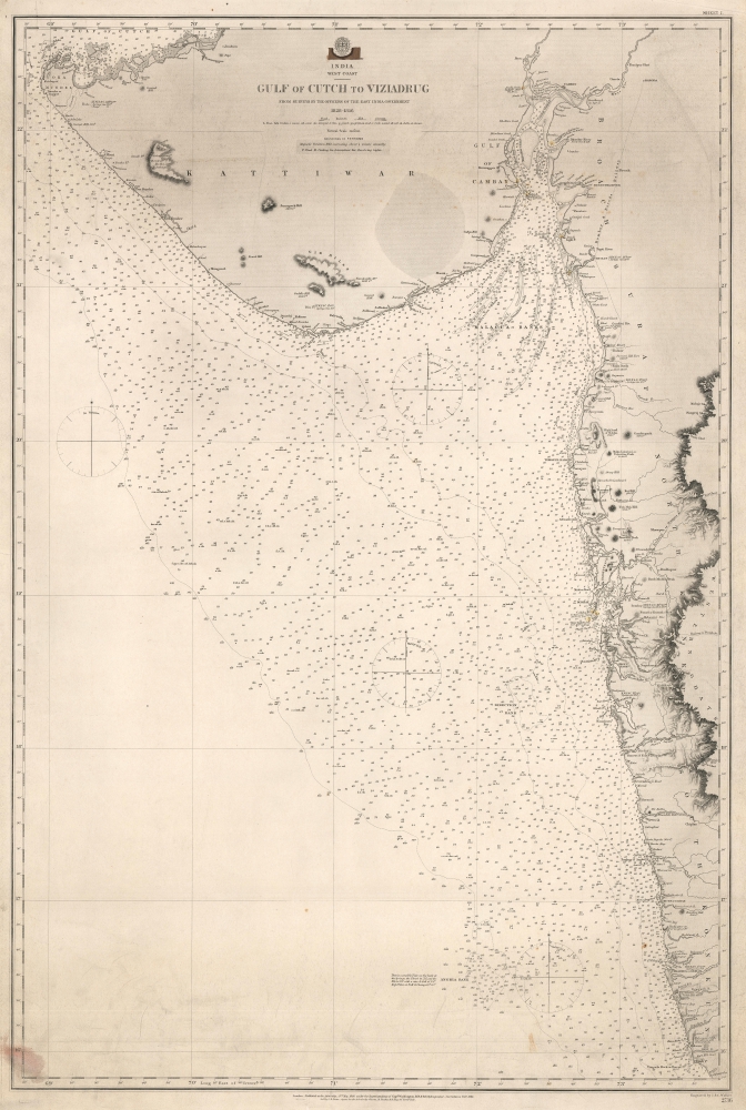
1863 Admiralty Nautical Chart of the Gujarati Coast and Mumbai (Bombay)
Provides an incredible level of detail along the Gujarati Coast and the coast of Maharashtra including Mumbai.
$550.00