
Pease, Richard H.
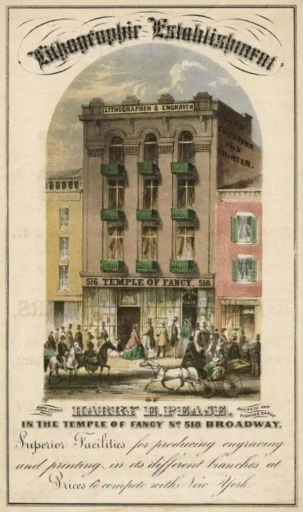
Richard H. Pease (1813 - 1869) was an American merchant and lithographer active in Albany, New York, during the middle part of the 19th century. Pease is best recognized for his publication of America's first Christmas card for the 1849 -1850 holiday season. He also played a role in populating the American version of Santa Claus and tying it to consumerism in the holiday advertisements his produced for his 'Temple of Fancy or Pease's Great Variety Store.' Pease operated the Great Variety Store in tandem with his lithography business until he passed the store on to his son, Harry E. Pease, in 1855. The store was located at 516 Broadway, Albany. Pease also published hand-colored lithographs of fruit for Ebenezer Emmons’s book Agriculture of New York State, published between 1846 and 1854. From 1856 to 1867 he worked with the lithography firm of Hoffman, Knickerbocker and Co.
Early European Settlers of Lake Champlain.
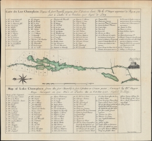
Carte du Lac Champlain... / Map of Lake Champlain...
$350.00
Acquire
- Digital Map Information
- Suitable for large format printing
- File Size: 9.59 MB
- File Type: ZIP / TIFF
- ICC color profile embedded
- Delivered instantly via download link
An informative 1849 hand-colored map of Lake Champlain, noting forts and land plots of French settlers. It was produced by Richard H. Pease for E. B. O'Callaghan's 1851 book The Documentary History of the State of New York, a critical reference work for historians of the state and of early America. (more details)
The Spoils of War in Western New York.
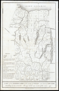
A Map of the Genesee Lands in the County of Ontario and State of New York according to an accurate Survey which was made of the same 1790.
$200.00
Acquire
- Digital Map Information
- Suitable for large format printing
- DPI: 600
- File Size: 11.79 MB
- File Type: ZIP / TIFF
- ICC color profile embedded
- Delivered instantly via download link
This is Richard H. Pease's 1849 map of part of Ontario County, New York, comprising part of the western Finger Lakes region known as Gorham and Phelps' Purchase. The map records the annexation of Iroquois lands after the American Revolution in response to their support of the British. (more details)
Real Estate on Martha's Vineyard.
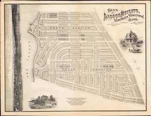
PLAN OF LAGOON HEIGHTS, Martha’s Vineyard, MASS.
$900.00
Acquire
- Digital Map Information
- Suitable for large format printing
- File Size: 59.7 MB
- File Type: ZIP / TIFF
- ICC color profile embedded
- Delivered instantly via download link
A beautiful 1873 promotional map of Lagoon Height, present-day Oak Bluffs, Martha's Vineyard, Massachusetts. The map consists of a detailed street plan with housing lots and parks, as well as wonderful vignettes of exceptionally elegant Victorian era summer homes. Along the left is a dramatic panoramic advertising the spectacular view potential home buyers might enjoy. A promotional imprint at the bottom center directs interested buyers to the attention of J. and W. R. Wing of New Bedford Massachusetts. (more details)