
Plancius, Petrus
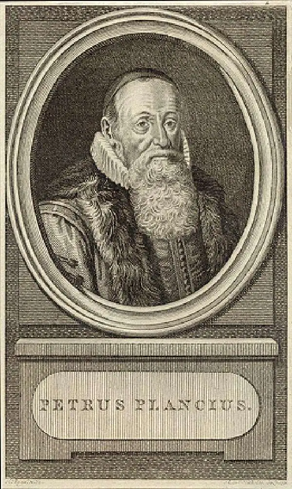
Petrus Plancius (1522 - May 15, 1622) was a Dutch-Flemish cartographer, astronomer, and clergyman. Born in Dranouter, he studied theology in Germany and England. He became a minister in the Dutch Reformed Church at the age of 24. In 1585, fearing religious prosecution by the Inquisition after Brussels fell into Spanish hands, Plancius fled to Amsterdam. It was in Amsterdam that he became interested in navigation and cartography and soon became a recognized expert on the shipping routes to India. Plancius published his best known world map in 1592, entitled ‘Nova et exacta Terrarum Tabula geographic et hydrographica’. Plancius was also one of the founders of the Dutch East India Company, for which he drew over 100 maps.
Most unique atlas map of Africa to appear in the 16th century.
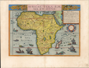
Africae Vera Forma, et Situs.
$11,000.00
Acquire
- Digital Map Information
- Suitable for large format printing
- Full resolution TIFF file
- ICC color profile embedded
- Delivered instantly via download link
This is Cornelis De Jode's superb, rare map of Africa, printed in a single edition of 1593. It is the most unique atlas map of Africa to appear in the 16th century, being the only such based on Petrus Plancius' 1592 wall map of the world. (more details)
First full-size folio map of North America.
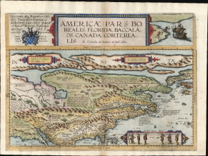
Americae Pars Borealis, Florida, Baccalaos, Canada, Corterealis.
$37,500.00
Acquire
- Digital Map Information
- Suitable for large format printing
- Full resolution TIFF file
- ICC color profile embedded
- Delivered instantly via download link
This is Cornelis De Jode's rare map of North America, printed in a single edition of 1593. The first full-size folio map specifically of North America, it was among the updated maps added to the De Jode atlas specifically to compete with Ortelius' Theatrum Orbis Terrarum. To this end, it combined cartographic information from current sources with a level of decorative flourish that had not yet appeared in any atlas. In the case of this map, Cornelis focused on a part of the world omitted from the elder De Jode's 1578 atlas. (more details)
First specific map of Chile.
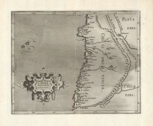
Chili Provincia Amplissima.
$950.00
Acquire
- Digital Map Information
- Suitable for large format printing
- Full resolution TIFF file
- ICC color profile embedded
- Delivered instantly via download link
A strong example, with an unusually bold impression, of Cornelis Wytfliet's Chili Provincia Amplissima, the first printed map to focus on Chile. It appeared in his Descriptionis Ptolemaicae Augmentum, the first atlas specifically of the Americas. (more details)
Among the First Maps of Sri Lanka from Contemporary Report.
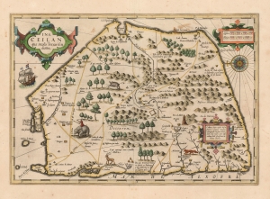
Ins. Ceilan quae incolis Tenarisin dicitur.
$800.00
Acquire
- Digital Map Information
- Suitable for large format printing
- DPI: 600
- File Size: 43.05 MB
- File Type: ZIP / TIFF
- ICC color profile embedded
- Delivered instantly via download link
This is an attractive edition of the 1606 Jodocus Hondius map of Ceylon of Sri Lanka. As one of the maps introduced to Mercator's Atlas after Hondoius acquired the work, it is among the first maps to address the island from first-hand contemporary reports. (more details)