
Allen, George (sold)

George Allen (fl. 1786 - 1814) was a British map, chart, music, and writing engraver. Allen created work for numerous publishers, including John Haywood, Laurie and Whittle, Arrowsmith, William Faden, and John Purdy.
Height of the French Revolutionary Wars.
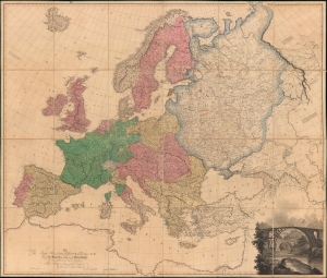
Map of Europe, Drawn from all the Best Surveys, and Rectified by Astronomical Observations.
sold
- Digital Map Information
- Suitable for large format printing
- DPI: 600
- File Size: 373.55 MB
- File Type: ZIP / TIFF
- ICC color profile embedded
- Delivered instantly via download link
This Aaron Arrowsmith map of Europe illustrates a continent at war with Britain the only remaining power left standing against Napoleon's French Revolutionary armies. The map was published on June 1, 1798, near the end of the War of the First Coalition (1772 - 1797). (more details)