
Auchagah (sold) (Ochagach, Ochakah, Ochagac)
Auchagah (fl. c. 1700 - 1740) was a Cree leader mentioned in the journals of the French fur trader and explorer Pierre Gaultier de Varennes et de La Vérendrye (1685 - 1749). His name is also transliterated as Ochagach, Ochakah, or Ochagac. La Vérendrye questioned Auchagah extensively on routes west of Lake Superior, and Auchagah produced a map that was later sent to France. Auchagah may have served as a guide for La Vérendrye and his children on more than one occasion. As it was, La Vérendrye held a high opinion of Auchagah, describing him as 'the man most capable of guiding a party and with whom there would be no fear of our being abandoned on the way.' Auchagah's work in mapping the rivers and lakes West of Lake Superior helped establish Grand Portage as a headquarters of the Canadian fur trade and the Northwest Company.
AKA: Ochagach, Ochakah, Ochagac
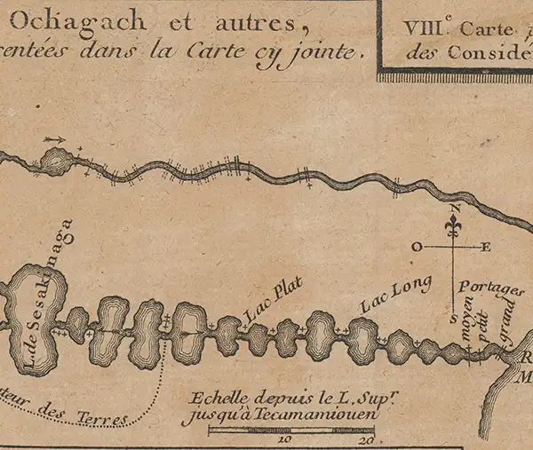
Auchagah Map, a unique synthesis of American Indian and European cartography.
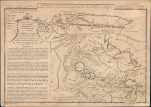
Réduction de la Carte tracée par le Sauvage Ochagach et autres. / Carte Physique des Terreins les plus eleves de la Partie Occidentale du Canada.
sold
- Digital Map Information
- Suitable for large format printing
- Full resolution TIFF file
- ICC color profile embedded
- Delivered instantly via download link
This is Philipe Buache's c. 1754 dual map of inland water routes west of Lake Superior extending, ostensibly, to the Pacific. It is an important and intellectually complex juxtaposition of two radically divergent cartographic conceptions of the North American interior: American Indian (Cree) geographic knowledge (known as the Auchagah Map) and Philippe Buache's speculative synthesis of French exploration, hydrographic theory, and the elusive dream of a navigable route to the Pacific. Within a decade of this map's issue, the route revealed here between Lake Superior and Winnipeg became the primary artery of the Canadian fur trade. (more details)