
Boell, William (sold) (William Buell, F. W. Boell)
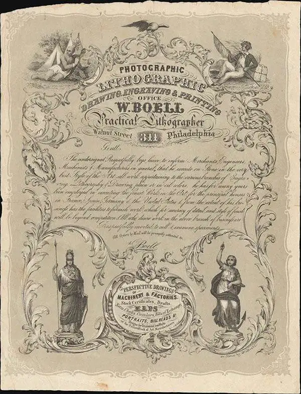
William Boell (fl. 1854 - 1880s), also recorded as William Buell, was an American lithographer, engraver, and commercial printer active in New York City and subsequently Philadelphia during the second half of the 19th century. An institutional account identifies him as French-born, about 1832; his education and early training remain undocumented. His contribution to geographic illustration lay principally in urban street views, architectural prospects, and military bird's-eye views rather than original surveying. He began producing New York city views in 1854 and worked in partnership with George W. Lewis in 1855 and Francis Michelin (1809 or 1810 - 1878) in 1856 - 1858. Around 1859 he moved to Philadelphia and established his own lithographic business. An advertisement published that year placed his establishment at 407 Walnut Street and offered engraving, tickets, cards, show bills, and perspective views of machinery. His subsequent Philadelphia imprints include the address 311 Walnut Street. Alongside industrial and advertising work, he produced book illustrations, church views, and political cartoons. During the Civil War he lithographed Volunteer Refreshment Saloon, Supported Gratuitously by the Citizens of Philadelphia, published in 1861, depicting the city's charitable provision for Union troops. His Birds Eye View of Andersonville Prison Ga., issued in 1866, translated a former prisoner's sketch into a detailed perspective representation of the Confederate prison compound. Boell continued commercial printing after the war, including advertising work associated with Philadelphia's Centennial Exhibition in 1876. His business encountered serious financial difficulties by October 1880, when a contemporary trade journal reported that William Boell and Company's establishment was advertised for sale by the sheriff. Institutional accounts place his continued activity in the 1880s, but his death date, place of death, and any succession to his business have not been securely established.
AKA: William Buell, F. W. Boell
Civil War map of the Mississippi Valey.
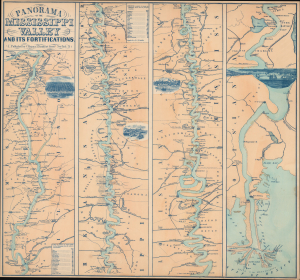
Panorama of the Mississippi Valley and its Fortifications.
sold
- Digital Map Information
- Suitable for large format printing
- Full resolution TIFF file
- ICC color profile embedded
- Delivered instantly via download link
This is Charles Magnus' circa 1863 Panorama of the Mississippi Valley and its Fortifications, a Civil War broadside that places the struggle for control of the river within a detailed commercial landscape. Four adjoining strip maps follow the Mississippi from St. Louis to the Gulf of Mexico, locating military positions among plantations, landings, woodyards, mills, and railway connections. Views of St. Louis, Memphis, Vicksburg, and New Orleans give pictorial substance to the ports linking this river economy, while the prominently advertised fortifications address the wartime significance of its transport network. Such maps were essential for a public eager to place news events, delivered daily by telegraph, into a comprehensible geographical framework. (more details)