
Button, Frank Morse (sold)
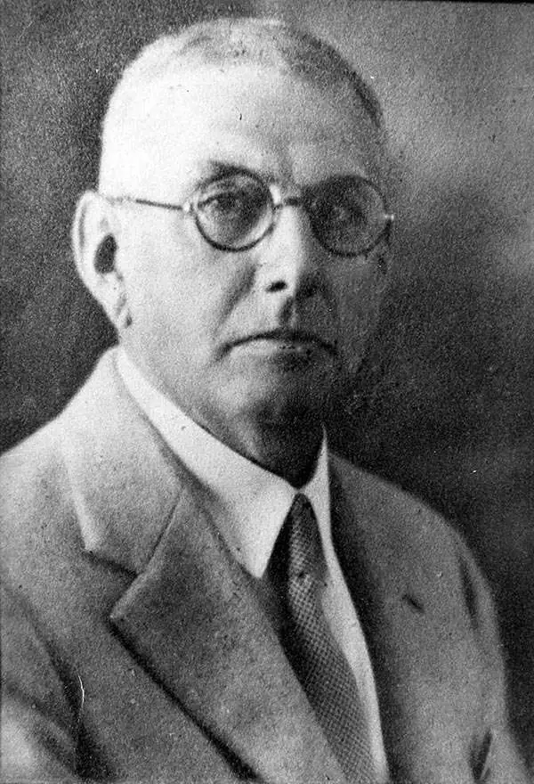
Frank Morse Button (August 14, 1866 - August 3, 1938) was an American landscape designer and civil engineer active in Florida in the early 20th century. Button was born in Brandon, Vermont, and in 1887 graduated from the University of Vermont with a degree in civil engineering. Button worked in the Army Corps of Engineers, a civilian arm of the army, from 1889 to 1899, and even worked on the 1893 Chicago Columbian Exposition where he laid the pilings for the facsimile battleship 'Illinois'. In 1903, he joined the landscape firm of Ossian Cole Simonds (1855 - 1931), designing the Charles Deering’s estate at Buena Vista and Chicago’s Lincoln Park. With the death of his wife, Button resigned firm the Simonds from and relocate to Miami, Florida, where form 1921, he played a key role in developing and designing Coral Gables under George Edgar Merrick (1886 - 1942). It was he who, along with civil engineer Whitney Carleton Bliss (1886 - 1964), laid out the masterplan for Coral Gables following the principles of the City Beautiful Movement. Button died tragically in a 1938 construction accident (he was hit by a truck) while planting trees on Bird Road, Coral Gables.
Miami's Greatest Achievement? The first printed map of Coral Gables.
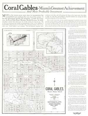
Coral Gables - Miami's Greatest Achievement and Most Profitable Investment. / Coral Gables. Miami's Master Suburb.
sold
- Digital Map Information
- Suitable for large format printing
- Full resolution TIFF file
- ICC color profile embedded
- Delivered instantly via download link
This 1922 double-sided broadside, likely the first printed map of Coral Gables, Miami, Florida, was issued to promote investment and development in the emerging suburb. The broadside, touting Coral Gables as 'Miami's Greatest Achievement', features a large map of the planned community, dated 1922 - an updated and revised version of the unpublished Bliss/Button masterplan drawn in 1921. The verso features illustrations of the just-built country club walls, as well Spanish colonial style model homes. Other than the manuscript masterplans preserved at History Miami, this is the earliest map of Coral Gables known and the first published map. (more details)