
Corsi, Wadad Catherine (sold)
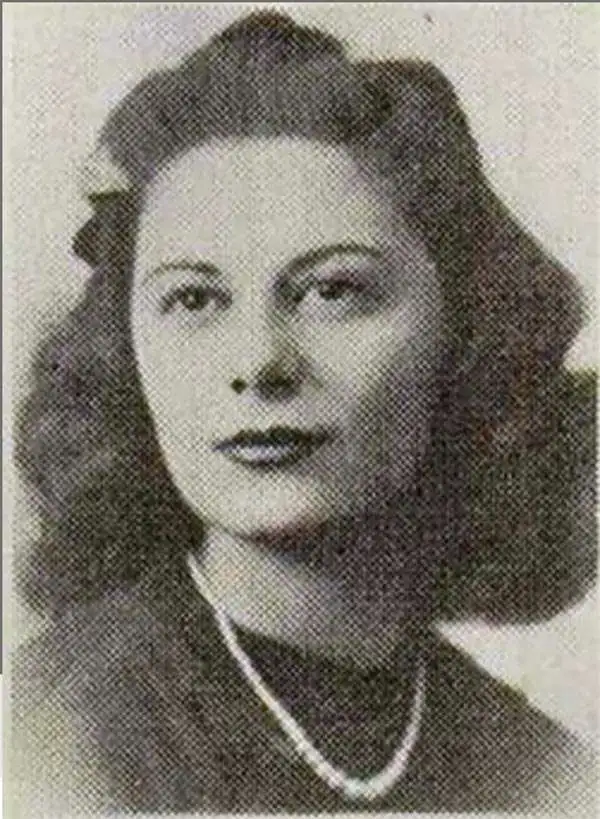
Wadad Catherine Corsi (November 15, 1923 - December 9, 1992) (née Hider) was born in Binghamton, New York to Tofik Hider and Shaheenie (Haddad) Hider. She married Charles Angelo Corsi in 1947 with whom she had two children: a daughter and a son.
Daytona Beach, 'The World's Most Famous Beach'.
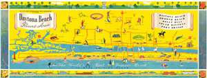
Daytona Beach Resort Area.
sold
- Digital Map Information
- Suitable for large format printing
- File Size: 19.21 MB
- File Type: ZIP / TIFF
- ICC color profile embedded
- Delivered instantly via download link
Created by Wadad and Charles Corsi, this is a c. 1956 pictorial map of Daytona Beach, Florida. Promoted as 'The World's Most Famous Beach', the map depicts Daytona Beach from Ponce de Leon Inlet to Tomoka State Park. Activities that cater to tourists, such as horseback riding, bicycling, golf, and bathing in the ocean are illustrated by vignettes, Tourists are not the only ones this map is trying to reach, since the city swimming pool, bowling alleys, dances, and the municipal stadium are also highlighted. Major roads are marked by solid red lines, which include the five bridges spanning the Halifax River, which separates Daytona Beach from the peninsula. The whole is surrounded by a pictorial border made up of picturesque gardens, fish and other sea creatures, and beach-front homes. (more details)
Daytona Beach, 'The World's Most Famous Beach'.
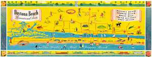
Daytona Beach Recreational Area.
sold
- Digital Map Information
- Suitable for large format printing
- File Size: 19.21 MB
- File Type: ZIP / TIFF
- ICC color profile embedded
- Delivered instantly via download link
Created by Wadad and Charles Corsi, this is a c. 1958 pictorial map of Daytona Beach, Florida. Promoted as 'The World's Most Famous Beach', the map depicts Daytona Beach from Ponce de Leon Inlet to Tomoka State Park. Activities that cater to tourists, such as horseback riding, bicycling, golf, and bathing in the ocean are illustrated by vignettes. Tourists are not the only ones this map is trying to reach, since the city swimming pool, bowling alleys, dances, and the municipal stadium are also highlighted. Major roads are marked by solid red lines, which include the five bridges spanning the Halifax River, separating Daytona Beach from the peninsula. The whole is surrounded by a pictorial border made up of picturesque gardens, fish and other sea creatures, and beach-front homes. (more details)