
Crow, Carl
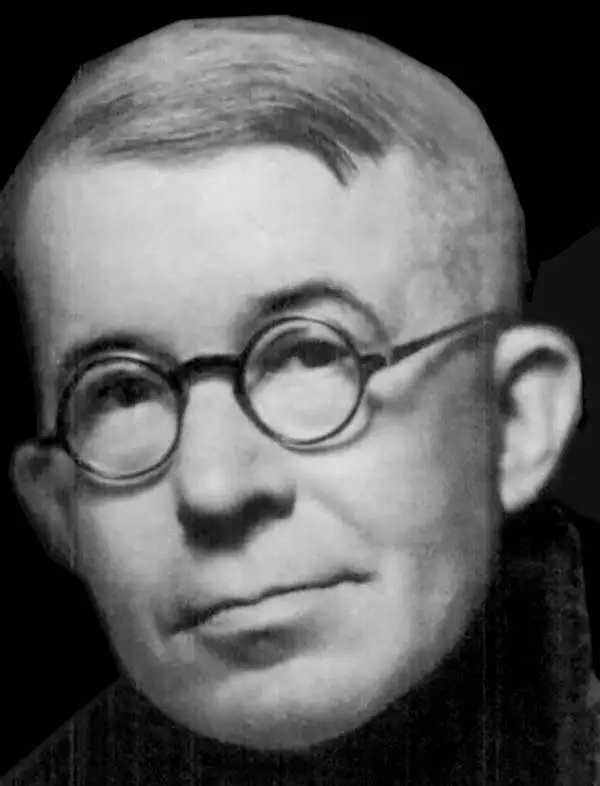
Carl Crow (1884 - 1945) was a born in Missouri and is known for, among several achievements, opening the first Western advertising agency in Shanghai, China. Crow arrived in Shanghai in 1911, where he lived for 25 years. He worked as a journalist, newspaper proprietor, and advertising agent, while also spending time as a hostage negotiator, police sergeant, farmer, and a liaison for the U.S. government. He was also a celebrated author whose book, 400 Million Customers, won several awards when it came out in the 1930s and has been reprinted at least twice during the 21st century. During his time in China he met and interviewed most of the major figures of the day, including Chiang Kai-shek and Mao Zedong's second-in-command Zhou En-lai. Fearing retribution because of his anti-Japanese sentiments, he left Shanghai in 1937, only a couple of days after the Japanese attacked during the Second Sino-Japanese War. He worked for American intelligence during the Second World War and became one of the first westerners to journey up the Burma Road. He died in Manhattan in 1945.
Tianjin at the height of the treaty port era.
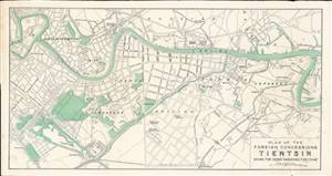
Plan of the Foreign Concessions. Tientsin. Drawn for Crow's 'Handbook for China.'
$220.00
Acquire
- Digital Map Information
- Suitable for large format printing
- File Size: 4.54 MB
- File Type: ZIP / TIFF
- ICC color profile embedded
- Delivered instantly via download link
This is a c. 1913 Carl Crow city map or plan of the foreign concessions in Tianjin (Tientsin), China. The map, which is bisected by the Hai River, depicts the international concession zone, from the Austria-Hungarian concession at left to the Japanese and Belgian concessions at right. (more details)
Attractive city map or plan of Suzhou (Soochow), China, 'The Venice of the Far East.'
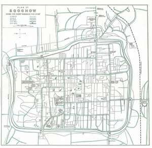
Plan of Soochow. Drawn for Crow's 'Handbook for China.'
$220.00
Acquire
- Digital Map Information
- Suitable for large format printing
- File Size: 4.63 MB
- File Type: ZIP / TIFF
- ICC color profile embedded
- Delivered instantly via download link
This is a 1921 Carl Crow city map or plan of Suzhou (Soochow), China. The map depicts the city and some of the surrounding area. Soochow, per Crow, lies '53 miles from Shanghai, on the Shanghai-Nanking Railway', which is depicted and labeled on the map. Due to its extensive system of canals, Soochow has been given the name 'The Venice of the Far East.' Several locations are labeled on the map, including The Big Pagoda, the Local Assembly Hall, Soochow University, the Large Confucian Temple, and the Railway Station. Only one of the myriad roads on the map is labeled, the Horse Road, and it falls outside the city walls. (more details)
The Bund and the International Settlement.
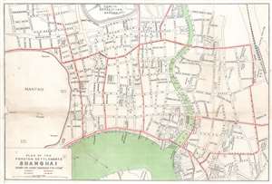
Plan of the Foreign Settlements Shanghai. Drawn for Crow's 'Handbook for China'.
$200.00
Acquire
- Digital Map Information
- Suitable for large format printing
- File Size: 5.41 MB
- File Type: ZIP / TIFF
- ICC color profile embedded
- Delivered instantly via download link
This is a c. 1921 Carl Crow city plan or map of part of the International Settlement in Shanghai, China. With the Huangpu River and the world-famous Shanghai Bund near the bottom border, the map depicts part of the British and French concessions. Streets are labeled throughout, along with the public recreation ground, several churches and cathedrals, hotels, the customs house, and the Shanghai Club. The British Consulate is identified as are the French municipal offices and the French Consulate. (more details)
A charming map of Beijing during the Interwar Years.
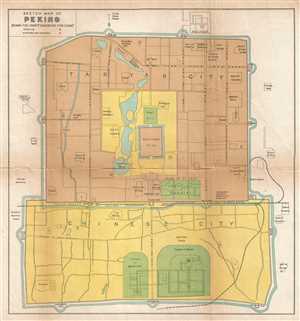
Sketch Map of Peking.
$275.00
Acquire
- Digital Map Information
- Suitable for large format printing
- File Size: 1.92 MB
- File Type: ZIP / TIFF
- ICC color profile embedded
- Delivered instantly via download link
This is a 1921 Carl Crow map of Beijing (Peking), China. The map depicts the Tartar City, the Chinese City, the Imperial City and the Forbidden City as well as the immediate surroundings of these four sections of Beijing. Numerous locations throughout the map are ... (more details)