
Dearborn, Nathaniel (sold)
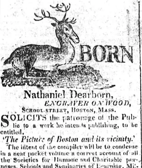
Nathaniel Dearborn (1786 - November 7, 1852) was a New England engraver and publisher based in Boston during the first half of the 19th century. Dearborn was born in New England in 1786 to inventor Benjamin Dearborn; his siblings included John M. Dearborn and Fanny Dearborn Hanman. In Boston he learned engraving from Abel Bowen. By 1814 Dearborn had printing and engraving offices on School Street; later moving to Market Street (ca.1823), State Street (ca.1826-1831) and Washington Street (ca.1832-1852). Dearborn died November 7, 1852, in South Reading. His son, Nathaniel S. Dearborn, continued as an engraver and printer in Boston, working on Water Street (ca.1847-1851) and School Street (ca.1857-1868). N.S. Dearborn exhibited several printed specimens in the 1850 exhibition of the Massachusetts Charitable Mechanic Association. His grandson S.B. Dearborn also worked as a printer.
Scarce separate issue map of Boston.
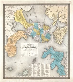
A New and Complete Map of the City of Boston, with part of Charleston, Cambridge and Roxbury.
sold
- Digital Map Information
- Suitable for large format printing
- DPI: 300
- File Size: 12.17 MB
- File Type: ZIP / TIFF
- ICC color profile embedded
- Delivered instantly via download link
A separately issued 1839 map of Boston offered in its scarce first edition. This very uncommon map was compiled by George Washington Boynton for the Boston publisher Nathaniel Dearborn. Presented with an unusual westward orientation, this map covers early 19th ... (more details)
First garden cemetery in the United States.
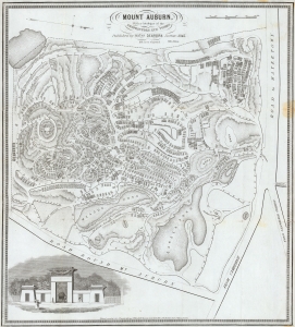
Mount Auburn, with a Catalogue of the Proprietors and Tombs.
sold
- Digital Map Information
- Suitable for large format printing
- Full resolution TIFF file
- ICC color profile embedded
- Delivered instantly via download link
This is an 1845 Nathaniel Dearborn map of Mount Auburn Cemetery, Watertown, Massachusetts. When this map was issued, Mount Auburn Cemetery was among the most visited destinations in the United States, celebrated as the first garden cemetery in the country. (more details)
Before the Back Bay.
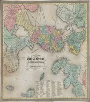
A New and Complete Map of the City of Boston, and precincts including part of Charleston, Cambridge and Roxbury.
sold
- Digital Map Information
- Suitable for large format printing
- DPI: 600
- File Size: 347.74 MB
- File Type: ZIP / TIFF
- ICC color profile embedded
- Delivered instantly via download link
This is a scarce 1848 map of pre-landfill Boston published by Nathaniel Dearborn. Presented with a westward orientation, the map reflects Boston's breakneck growth in the early 19th century. (more details)