
Du Val, Pierre
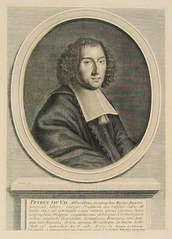
Pierre Du Val (May 19, 1619 - September 29, 1683) was a French cartographer and publisher active in Paris during the middle part of the 17th century. He was born Abbeville, Picardie, France, where his father, also Pierre, was a merchant, consul, and alderman. His mother was Marie Sanson, sister of Nicolas Sanson d'Abbeville (1600-1667), the leading French cartographer of his day. Du Val and probably apprenticed in Sanson's workshops. Afterwards, in Paris, he studied geography under Jean-Baptiste Gault, who later became the Bishop of Marseilles. He counseled M. Henri of Savoye, abbot of St. Sorlin, and M. Gilles Bouraut, bishop of Aire and later Evreux, in matters of science and geography. Du Val became Geographe ordinaire to Louis XIV in 1650. His first atlas, the 1654 Cartes Geographiques Methodiquement Divisees, contained few of his own maps and was mostly compiled from reissues of maps by other cartographers. His early work focused on atlases and geographical treatises, but later, he turned his attentions to large separate issue, often multi-sheet maps. After his death in 1683, his widow, Marie Desmaretz, continued his business at least until 1684, after which it passed to his daughters (either Marie-Angelique or Michelle), who published until at least 1688. He is the elder brother of Placide de Sainte Hélène (1648 - 1734), Placidium Augustinum, an Augustine monk and geographer.
Summation of European Cartography of Africa.
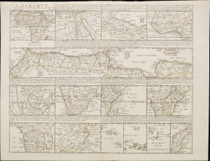
L'Afrique par le Sieur Du Val, Geographe Ord. du Roy.
$2,000.00
Acquire
- Digital Map Information
- Suitable for large format printing
- File Size: 20.34 MB
- File Type: ZIP / TIFF
- ICC color profile embedded
- Delivered instantly via download link
This is Pierre Duval's 1661 mapping of Africa, a comprehensive and detailed single-sheet presentation achieved by dividing the sheet up into 15 separate maps: one map of the entire African continent along with 14 regional maps. (more details)
The French join the Second Anglo-Dutch War.
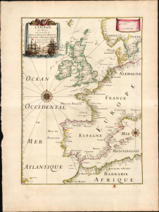
L'Océan pres d'Europe avec les costes de France, d'Espagne, de Portugal, d'Angleterre, de Hollande, de Danemark et suivant les cartes marines les plus nouvelles / Par P. Du Val Geogr. du Roy 1666.
$1,200.00
Acquire
- Digital Map Information
- Suitable for large format printing
- File Size: 17.97 MB
- File Type: ZIP / TIFF
- ICC color profile embedded
- Delivered instantly via download link
This rare 1666 map by Pierre Du Val captures the state-of-the-art charting of the European Atlantic coast at the time of the Second Anglo-Dutch War (1665 - 1667). Two battles, marked and dated, suggest the chart was drafted before August 1666. (more details)