
Eddy, William Mathewson (sold)
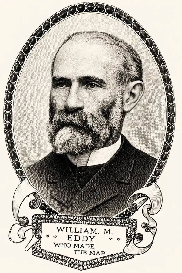
William Mathewson Eddy (August 10, 1818 - March 10, 1854) was an American surveyor active in the mid-19th century. He was born in Ithaca, New York, and trained as a Civil Engineer. Eddy is best known for his work in California, first as City Surveyor of San Francisco (1849) and then as State Surveyor General (1851 - 1954). Eddy arrived in San Francisco in June 1849, replacing Jasper O'Farrell (1817 - 1875) as San Francisco City Surveyor. He meticulously remapped the booming city and can be credited with naming many of the streets. In 1850, he married Harriet Ecker (Eacker; 1820 - 1891) in a grand affair, importing for her an entire house from their mutual hometown of Ithaca to make the transition to the California frontier more palatable. Eddy's influence on the urban plan of San Francisco is undeniable, but it is recorded that he was often found drunk in his office and was happy to take bribes - particularly for the naming of streets. He moved to Sacramento to take office as the State Surveyor General in 1851, compiling and publishing the first official state map of California in 1854. He was also one of the founding members of San Francisco's Trinity Church. Eddy's sudden death in 1854 in San Francisco, at just 36, came as a surprise to all, and its causes are unrecorded. Despite his propensity for drink and bribery, he was well-liked in the city, and his funeral was attended by a large number of mourners. Many records confuse William Mathewson Eddy with another prominent California Eddy, William Matson Eddy (1826 - 1904), a banker; however, they are unrelated.
First German map of the state of California.
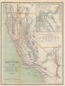
Karte des states California nach er officiellen Karte des State Surveyor General W. M. Eddy (approved and declared to be the official Map of the State of California by act of the Legislature, passed March 25th 1853) mit Berichtigung der Küste und einzelner Pässe nach den in den Jahren 1855-4 asusgeführten Künstenaufnahmen der V. St. Marine unde Recognoscirugen projectirter Eisenbahnlinien durch die Ingenieur Oficiere Gunnison, Beckwith, Williamson, u. a. gezeichnet von H. Kiepert Berlin 1856.
sold
- Digital Map Information
- Suitable for large format printing
- File Size: 10.6 MB
- File Type: ZIP / TIFF
- ICC color profile embedded
- Delivered instantly via download link
This is a rare 1856 H. Kiepert German edition of William M. Eddy's first official map of California. This is the first German-language map specifically of the state of California. (more details)