
Gascoigne, John (sold)
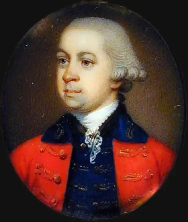
John Gascoigne (January 5, 1695 - May 29, 1753) was a British marine surveyor and sea captain active in the mid-18th century. Gascoigne was born in Halesowen, Worcestershire, England. He joined the Royal Navy as an Able Seaman in 1706, rising through the ranks to captain by 1727. A year later, while stationed in Jamaica in 1728, Gascoigne was given command of his first ship, the HMS Alborough. He was assigned to the Northern American colonies to conduct a hydrographic survey of Port Royal Harbor and the coastline as far north as Charleston. He arrived in South Carolina in the summer of that year and committed himself to survey work through 1734. He must have found Port Royal appealing, as in 1729 he acquired title to St John's Island (Pickney Island). When he returned the Alborough to England in 1734, his passengers included the founder of Georgia, James Oglethorpe, and a delegation of Creek Indians. In subsequent years, he saw active service during the War of Jenkins' Ear (1739 - 1748). He retired in 1746 with the rank of Rear Admiral.
Best map of Beaufort during the American Revolution.
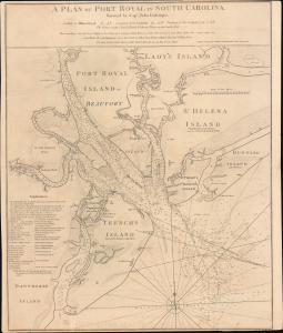
A Plan of Port Royal in South Carolina.
sold
- Digital Map Information
- Suitable for large format printing
- File Size: 27.98 MB
- File Type: ZIP / TIFF
- ICC color profile embedded
- Delivered instantly via download link
A superb example of the John Gascoigne map of Port Royal, modern-day Beaufort, South Carolina, here it is in its 1794 Laurie and Whittle edition. This map represents the best regional cartography available during the Revolutionary War Period, and it retained its relevance more than a decade later when this edition was published. (more details)