
Gilman, Ephraim Gilman (sold)
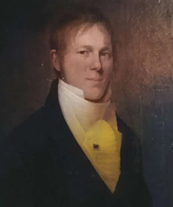
Ephraim Gilman (July 12, 1778 - February 22, 1853) was an American cartographer who served as the Principal Draftsman of the General Land Office in the mid 19th century. Gilman was born in Gilmanton, New Hampshire. He was married to Anna Gilman (1787 - 1846). There are records of an Ephraim Gilman who owed a successful trunk manufactory in Alexandria, Virginia, although if this is the same figure who drafted maps for the GLO, it is unclear - but it seems unlikely that such a wealthy and prosperous businessman would transition into public service late in life and at so modest a level.
Selling Polk's vision.
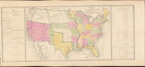
[United States.]
sold
- Digital Map Information
- Suitable for large format printing
- DPI: 600
- File Size: 699.27 MB
- File Type: ZIP / TIFF
- ICC color profile embedded
- Delivered instantly via download link
A most intriguing 1848 Ephraim Gilman map of the United States issued shortly after the Mexican-American War (1846 - 1848) to advance President James K. Polk's political agenda in his final address to Congress. A remarkable example of carto-advocacy, the map was drawn to address the territorial gains after the war, but is strongly colored by national debates over slavery in the territories. (more details)