
Laurie, Richard Holmes

Richard Holmes Laurie (December 2, 1777 - January 19, 1858) was a British map and chart publisher and seller. Born in London to publisher Robert Laurie and his wife Esther Jouret, R. H. Laurie took over his father's share of the Laurie and Whittle publishing firm upon his father's retirement in 1812 and began trading as Whittle and Laurie. After Whittle died in 1818, Laurie continued the business by himself, trading under the imprint R. H. Laurie. During the 1820s and 1830s, Laurie expanded the nautical chart business until he was overtaken by Admiralty charts. Laurie married Susan Ann Coates on February 6, 1814 and later married Mary Ann Dennison on October 15, 1833. He left his business and all his property in trust for his two surviving daughters (both of whom were minors) with his principal engraver, Alexander George Findlay. Findlay continued the business in Laurie's name after acquiring its equity from his daughters.
Largest general blueback chart of Brazil.
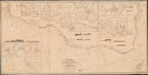
General Chart of the Coasts of Brazil, and c. From the River para to Buenos-Ayres; with Particular Plans of the Harbours.
$1,100.00
Acquire
- Digital Map Information
- Suitable for large format printing
- DPI: 600
- File Size: 74.56 MB
- File Type: ZIP / TIFF
- ICC color profile embedded
- Delivered instantly via download link
A dramatic large-scale 1842 blueback nautical chart or map of Brazil by Richard Holmes Laurie - considered the best and largest general chart of Brazil produced in the 19th century. The map follows the Atlantic Coast of South America from the Para River to Buenos Ayres and the Rio de la Plata. (more details)
Azores - the key the North Atlantic.
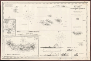
Laurie's Chart of the Azores or Western Islands.
$1,200.00
Acquire
- Digital Map Information
- Suitable for large format printing
- File Size: 2158.46 MB
- File Type: ZIP / TIFF
- ICC color profile embedded
- Delivered instantly via download link
An impressive 1859 blueback nautical map of the Azores and surrounding waters, drawn by Isaac Purdy, based on surveys by Captain A.T.E. Vidal, and published by Richard H. Laurie. This work represents the premier nautical chart of the Azores in the mid-19th century. (more details)
If all you care about is here, this is a good place to be. -Emile de Becque
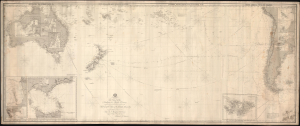
This Chart of the Indian and Pacific Oceans, compiled chiefly from Documents deposited in the Hydrographic Office of the British Admiralty is respectfully dedicated to Adm. Sir. F. Beaufort, F. R. L....
$1,800.00
Acquire
- Digital Map Information
- Suitable for large format printing
- File Size: 116.18 MB
- File Type: ZIP / TIFF
- ICC color profile embedded
- Delivered instantly via download link
An expansive and rare 1880 blueback nautical map or chart of the South Pacific by Richard Holmes Laurie. (more details)