
Lucas, Paul (sold)
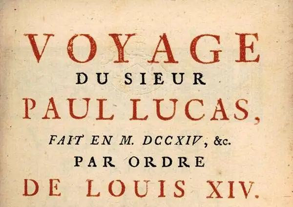
Paul Lucas (August 31, 1664 - May 12, 1737) was a French traveler, merchant, physician, and explorer who provided some of the earliest detailed European accounts of Upper Egypt. His father, Centurion Lucas, was a well-known publisher and printer in Rouen. pursued a military career and fought with the Venetians against the Ottomans at the Siege of Negroponte (Chalkis) in 1688. He returned from war with a collection of antiquities for the French Royal Cabinet that gained him enough attention for the court to finance three voyages to the Levant and Egypt in 1699-1703, 1704-1708, and 1714-1717. His accounts of these travels - Voyage du Sieur Paul Lucas au Levant. On y trouvera entr'autre une description de la haute Egypte…, Voyage du Sieur pPul Lucas, fait par ordre du Roi…, and Voyage du Sieur Paul Lucas, fait en 1714… - were translated into English and German, becoming important sources of information in Europe about the Levant and Egypt, particularly the Upper Nile. Lucas's first book contained a map of the Nile as far as Aswan and the Cataracts of the Nile. In fact, these accounts were largely written by court intellectuals connected to the antiquarian Charles César Baudelot de Dairval (1948 - 1722), basing their work on Lucas' travel accounts, as Lucas' lack of education led them to deem the journals unpublishable in their raw form. In any event, the accounts of Lucas' travels, including descriptions and drawing of the pyramids and other monuments, captivated learned audiences back in Europe, being the standard account of Upper Egypt for some years after. Already by 1708, Lucas had been granted the title of 'antiquaire du roi,' though his lack of formal education and deviation from the conventions of standard explorers' narratives cause some to question the veracity of his account. But time and subsequent explorations by Europeans proved his descriptions of the Upper Nile and the monuments found there to be accurate.
Exploring Upper Egypt.
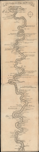
Die Wasser-Fällen des Nil-Flusses.
sold
- Digital Map Information
- Suitable for large format printing
- File Size: 12.79 MB
- File Type: ZIP / TIFF
- ICC color profile embedded
- Delivered instantly via download link
This is Paul Lucas' 1707 map of the Nile between Cairo and Aswan, which appeared in his book Reise nach der Levante. This was the German translation of Lucas' account of his travels, originally written in French, and notably contained this map, one of the earliest accurate European depictions of the Upper Nile. (more details)