
Matthews, George E. (sold)
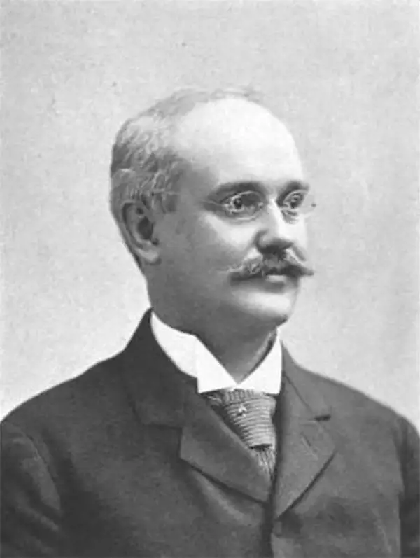
George E. Matthews (March 17, 1855 - June 11, 1911) was an American businessman who was the president of the J.N. Matthews Company. Born in Westfield, New York, Matthews and his family moved to Buffalo in his youth. His father, James N. Matthews, bought the Buffalo Express)in 1878, a year after Matthews graduated from Yale University. Matthews began working at the paper as a clerk, but eventually climbed the ladder to become the business manager. He ultimately became the treasurer of the Matthews-Northrup Co., printers and publishers of the Express, of which his father was the sole owner. The firm George E. Matthews and Co. became the owners of the Express following his father's death in 1888, and three years later it was consolidated with the Matthews-Northrup Works to become the J.N. Matthews Co., of which Matthews served as president. Mattews married Mary Elizabeth Burrows on July 12, 1887, with whom he had three children.
Promotes wellness tourism in the Hudson Valley.
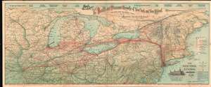
The Health and Pleasure Resorts of New York and New England, the Best Way to Reach Them via 'America's Greatest Railroad'. The New York Central and Hudson River R.R.
sold
- Digital Map Information
- Suitable for large format printing
- File Size: 45.01 MB
- File Type: ZIP / TIFF
- ICC color profile embedded
- Delivered instantly via download link
This is an 1898 Matthews Northrup railroad map of the northern United States. Depicting from Des Moines, Iowa to New Brunswick and from Lake Superior and Duluth, Minnesota to Charleston, West Virginia, thick red lines trace the routes of the New York Central and Hudson River Railroad and its principal connections, all of which are identified. Labeled circles mark stations along these routes. Thin black lines, which are also labeled, illustrate routes of railroads not affiliated with the New York Central. (more details)
Traces operational and proposed air mail routes and locates airfields and U.S. Naval Air Stations at the beginning of World War I
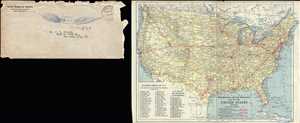
Manufacturers Aircraft Association Map of the United States Showing Aviations Fields.
sold
- Digital Map Information
- Suitable for large format printing
- File Size: 3.9 MB
- File Type: ZIP / TIFF
- ICC color profile embedded
- Delivered instantly via download link
This is a 1917 J.N. Matthews Company and Manufacturers Aircraft Association map of the United States illustrating airfields and naval air stations at the outbreak of World War I. The map depicts the continental United States from the Pacific Ocean to the Atlantic Ocean and from Canada to Mexico.
Illustrating the beginning of American aviation, the focus here is on the creation of an air mail system. Both proposed and operational air mail routes are indicated by thick red lines; proposed lines are noted by dashed lines and the only operational line between New York and Washington, D.C. is noted by a solid line. Aerial distances between the proposed hubs for air mail service are noted above the lines by large numbers. Thinner red lines illustrate air routes between important cities throughout the country and aerial distances between these cities are also given. At table in the lower left corner lists the fifty-six airfield and naval air stations noted on the map alphabetically. Each airfield or naval air station is marked by a square and identified by a number on the map, which correspond to the number next to the name of a given airfield or naval air station in the table.
Myriad cities and towns are labeled throughout the United States, with state capitals and other major cities labeled in bold. The nation's railway network is also illustrated, and each line is identified by the company operating over those rails. The Rocky Mountains and the Sierra Nevada Mountains are illustrated and labeled, as are all five Great Lakes. (more details)
Illustrating the beginning of American aviation, the focus here is on the creation of an air mail system. Both proposed and operational air mail routes are indicated by thick red lines; proposed lines are noted by dashed lines and the only operational line between New York and Washington, D.C. is noted by a solid line. Aerial distances between the proposed hubs for air mail service are noted above the lines by large numbers. Thinner red lines illustrate air routes between important cities throughout the country and aerial distances between these cities are also given. At table in the lower left corner lists the fifty-six airfield and naval air stations noted on the map alphabetically. Each airfield or naval air station is marked by a square and identified by a number on the map, which correspond to the number next to the name of a given airfield or naval air station in the table.
Myriad cities and towns are labeled throughout the United States, with state capitals and other major cities labeled in bold. The nation's railway network is also illustrated, and each line is identified by the company operating over those rails. The Rocky Mountains and the Sierra Nevada Mountains are illustrated and labeled, as are all five Great Lakes. (more details)