
Metzeroth, G.B. (sold)

G.B. Metzeroth (fl. c. 1852 - 1863) was a German-born engraver. He worked for the U.S. Coast Survey from 1856 until at least 1863.
Part of Channel Islands National Park.
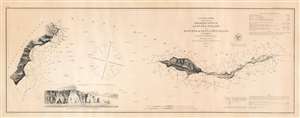
Preliminary Survey of Anacapa Island and East End of Santa Cruz Island California.
sold
- Digital Map Information
- Suitable for large format printing
- File Size: 9.12 MB
- File Type: ZIP / TIFF
- ICC color profile embedded
- Delivered instantly via download link
This is an 1856 U.S. Coast Survey nautical chart or maritime map of Anacapa Island and the eastern part of Santa Cruz Island, California. A view of one of the many sheer cliffs comprising the coastline of Anacapa Island is situated in the lower left quadrant. (more details)
Part of Channel Islands National Park.
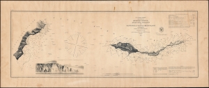
Preliminary Survey of Anacapa Island and East End of Santa Cruz Island California.
sold
- Digital Map Information
- Suitable for large format printing
- File Size: 13.75 MB
- File Type: ZIP / TIFF
- ICC color profile embedded
- Delivered instantly via download link
This is an 1856 U.S. Coast Survey nautical chart or maritime map of Anacapa Island and the eastern part of Santa Cruz Island, California. It provides a great deal of navigational and hydrographical information to mariners. (more details)
Live Oaks Plantation.
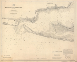
Entrance to Pensacola Bay Florida.
sold
- Digital Map Information
- Suitable for large format printing
- File Size: 47.52 MB
- File Type: ZIP / TIFF
- ICC color profile embedded
- Delivered instantly via download link
This is an 1882 U.S. Coast and Geodetic Survey nautical map of the entrance to Pensacola Bay, Florida. (more details)