
Müller, Gerhard Friedrich
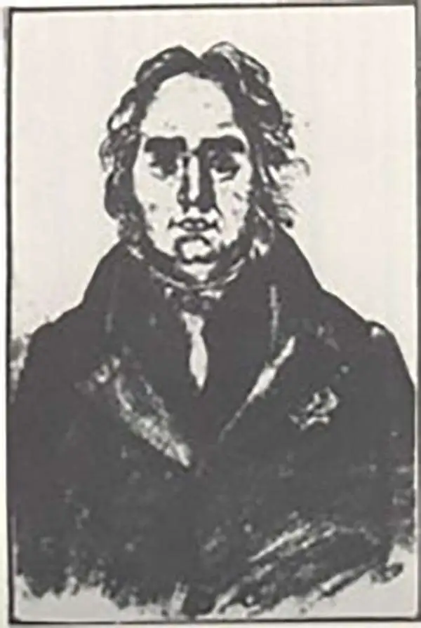
Gerhard Friedrich Müller (Фёдор Ива́нович Ми́ллер; October 29, 1705 - October 22, 1783), also known as Fyodor Ivanovich Miller, was a Russian-German historian, ethnologist and cartographer. He was born in Herford and educated at Leipzig. In 1725, he was among the European scholars invited to St. Petersburg to co-found the Imperial Academy of Sciences. Müller took part in the Academy's Great Northern Expedition (Second Kamchatka Expedition; 1733 - 1743), he and eighteen scientists and artists traveled the area to perform ethnological and botanical studies, as well as collecting data for the creation of maps. Müller's descriptions and categorizations of clothing, religions and rituals of the Siberian ethnic groups earned him the title 'father of ethnography.' He produced an essential map of the arctic and sub-arctic regions of the Pacific in 1754, motivated to counter the geographic frauds perpetrated by Joseph Nicholas De l’Isle (1688 - 1768) and Phillippe Buache (1700 - 1773). He knew both Vitus Bering (1733 - 1743) and Aleksei Chirikov (1703 - 1748), and was as close to his subject matter as any cartographer of his age.
Revealing a separate Asia and America.
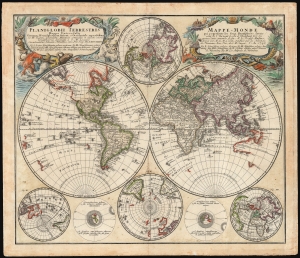
Planiglobii Terrestris/ Mappe-Monde.
$1,500.00
Acquire
- Digital Map Information
- Suitable for large format printing
- File Size: 29.97 MB
- File Type: ZIP / TIFF
- ICC color profile embedded
- Delivered instantly via download link
This is an elegant and detailed 1759 world map by Johann Matthias Hase and Georg Maurice Lowitz, contributors to the firm of Homann Heirs. The map was first issued in 1746, reflecting the best available cartographic detail of the day both from French and Russian sources. The present example was updated c. 1759 to reflect the discoveries of Bering and Chirikov according to the 1754 Müller map, confirming the separation of the continents of Asia and North America. (more details)
Muller's important map postulating a large peninsula in the North Atlantic.
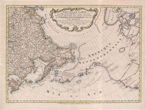
Nouvelle Carte des decouvertes Faites Par Des Vaisseaux Russiens Aux Côtes Inconnues de L'Amerique Septentrionale Avec Les Pais Adiacents.
$1,900.00
Acquire
- Digital Map Information
- Suitable for large format printing
- Full resolution TIFF file
- ICC color profile embedded
- Delivered instantly via download link
A beautiful example of Gerhard Friedrich Müller's important 1766 map of the Pacific Northwest, Alaska, the Bering Strait and Siberia, here in its rare Dutch second edition. Issued after the seminal explorations of Vitus Bering (1733 - 1743) on the Asia side of his namesake strait, but before the voyages of Captain James Cook similarly mapped the American side of the Bering Strait, this map is a smorgasbord of cartographic speculation – such as the exceptionally fine delineation of Friedrich Müller's Peninsula (Alaska / Aleutians). Centered on the Bering Strait, the map covers from Chinese Tartary to the Hudson Bay, and from the high Arctic, south as far as New Mexico, and Honshu (Japan). There is a striking contrast between the well explored Asiatic regions and the starkly bare and highly speculative mapping of America. (more details)
Presenting the proto-Alaska Muller Peninsula, refuting the Sea of the West.
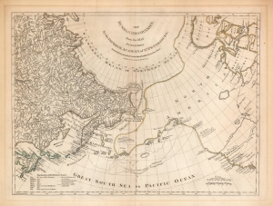
The Russian Discoveries from the Map Published by the Imperial Academy of St. Petersburg.
$1,100.00
Acquire
- Digital Map Information
- Suitable for large format printing
- Full resolution TIFF file
- ICC color profile embedded
- Delivered instantly via download link
An attractive example of Robert Sayer's 1775 translation of Gerhard Friedrich Müller's map presented to refute the spurious geography of the Pacific Northwest proposed by the French cartographers Philippe Buache and Joseph Nicolas De l'Isle. The map covers the same area as the 1752 Buache / De l'Isle map, and uses similarly state-of-the-art data from Russian explorers to show their successes in sailing via a Northeast Passage into the Pacific. This map however presents Müller's cartography of the American Northwest in explicit contradiction of the Buache/De l'Isle imaginary Sea of the West, and reliance on the fictional journeys of Admiral De Fonte. Thus, the map includes the North Pacific, including parts of Alaska, the Pacific Northwest, and Northeast Asia. Coverage extends from the Arctic Circle south to the latitudes of Vancouver and Japan. Most dramatically, the map includes a large, speculative peninsula extending westward from North America towards Asia. This, known as the Müller Peninsula, would become the dominant geographical model for the Pacific Northwest coast until the actual exploration of those coastal areas by Captain Cook in the 1770s. The map is also notable for its unusual Bulbous promontory in northern Siberia, an interpretation of the Witsen Peninsula, itself a mismapping of the Chukchi Peninsula. (more details)
Fascinating Depiction of Siberia based on a Hard-to-Find Source.

Suite de la Carte de La Siberie Et le Pays de Kamtschatka Pour l'Histoire Générale des Voyages.
$450.00
Acquire
- Digital Map Information
- Suitable for large format printing
- Full resolution TIFF file
- ICC color profile embedded
- Delivered instantly via download link
This is a beautifully engraved 1780 map of northeastern Asia, including Siberia and the Kamchatka Peninsula. Executed by Bellin, the map's details are drawn from the Asian portions of Gerhard Friedrich Müller's landmark 1754 Nouvelle Carte Des Decouvertes. Although Müller is lionized for its revelations of the voyages of Vitus Bering (1681 - 1741) and Aleksei Chirikov (1703 -1748), it also provided remarkably state-of-the-art details for the northeastern extremes of Siberia and Kamchatka. Müller's map was intended to counter the fraudulent maps produced of the same regions by fellow Academians Joseph-Nicolas De l’Isle (1688 - 1768) and Phillippe Buache (1700 - 1773), and the adoption of his geography by no lesser a figure than Bellin is a sign of his success. While mountains are shown pictorially, the delineation of the Sea of Ochosk, Sakhalin Island and the Kamchatka Peninsula is remarkably accurate. The Tschukschi Peninsula is shown in vague hachure, with a note explaining that its size is not understood. (more details)
Refining the Map of America's Northwest Coast.
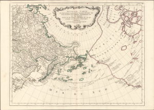
Nouvelle Carte des Decouvertes Faites par des Vaisseaux Russiens aux Cotes Inconnues de l'Amerique Septentrionale avec les Pais Adiacents. Dressée sur des memoires authentiques de ceux Qui ont assisté a ces decouverts, et sur d'autres Connoissances.
$1,000.00
Acquire
- Digital Map Information
- Suitable for large format printing
- Full resolution TIFF file
- ICC color profile embedded
- Delivered instantly via download link
This is Paolo Santini's pirated 1784 edition of Jacob von Staehlin's update to Gerhard Muller's map of the Pacific Northwest, Alaska, the Arctic, and Siberia. It illustrated the findings of Vitus Bering's Great Northern Expedition and subsequent Russian explorations, and was among the most accurate maps of the northwest coast of America available outside Russia before the voyages of Cook, La Pérouse, and Vancouver. (more details)