
National Park Service
The National Park Service (August 25, 1916 - Present) is a United States government agency tasked with managing all national parks, most national monuments, and other historical, recreational, and natural properties. Part of the U.S. Department of the Interior, the Service oversaw 423 units in 2020, sixty-three of which were national parks, and employed over 12,500 people.
Yosemite National Park!
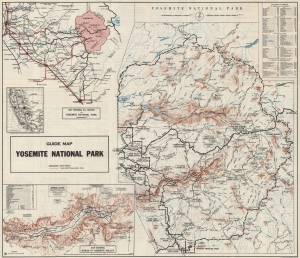
Motorists Guide Map and Manual Yosemite National Park California. / Guide Map Yosemite National Park.
$400.00
Acquire
- Digital Map Information
- Suitable for large format printing
- Full resolution TIFF file
- ICC color profile embedded
- Delivered instantly via download link
This is the 1929 National Park Service map of Yosemite National Park. Such maps allowed visitors to navigate the state's roads an visit the park in their own cars, or explore the park on foot via its network of hiking trails. (more details)
The 'Crown of the Continent'.
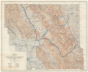
Cooperative Map of Glacier National Park and Portions of the Kootenai, Lewis and Clark, and Flathead National Forests.
$400.00
Acquire
- Digital Map Information
- Suitable for large format printing
- File Size: 100.55 MB
- File Type: ZIP / TIFF
- ICC color profile embedded
- Delivered instantly via download link
This is a 1935 U.S. Forest Service and National Park Service wall map of Glacier National Park and its immediate surroundings. Glaciers, mountain peaks, waterfalls, and other landmarks are identified throughout Glacier National Park and the surrounding forests. Campgrounds are marked by small tent icons and labeled. Contour lines present the park's impressive topography and mountain lakes and rivers are illustrated. (more details)
'A vast wilderness of rocks in a sea of light'.
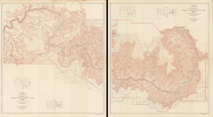
Topographic Map of the Grand Canyon National Park Arizona (West Half). / Topographic Map of the Grand Canyon National Park Arizona (East Half).
$750.00
Acquire
- Digital Map Information
- Suitable for large format printing
- File Size: 181.53 MB
- File Type: ZIP / TIFF
- ICC color profile embedded
- Delivered instantly via download link
This is an expansive two-sheet, large-format, 1948 topographic wall map of the Grand Canyon National Park, issued by the U.S. Geological Survey. Based on surveys undertaken in the early 20th century, it captures the canyon in a period when it was transitioning from a storied but still largely inaccessible national treasure to a tourist site for the masses, aided by the completion of the Grand Canyon Railroad and early highways. (more details)
Hottest Place on Earth.
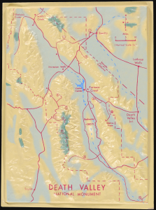
This is an unusual c. 1968 three-dimensional raised relief model of Death Valley National Monument (now a national park) along the California-Nevada border. It demonstrates the uniquely dramatic and harsh terrain of the region, where extreme temperatures at its lowest points (well below sea level) have led it to be dubbed 'the hottest place on earth.' (more details)
Largest Trees on Earth.
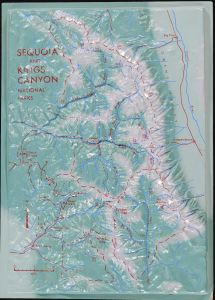
This is an unusual c. 1968 three-dimensional raised relief model of Sequoia and Kings Canyon National Parks in California. It highlights the stunning landscape and steep topography of the region, from the foothills of the Sierra Nevada (below 1,000 feet above sea level) to the peak of Mt. Whitney, at roughly 14,500 feet. (more details)