
Parke, John Grubb (sold)
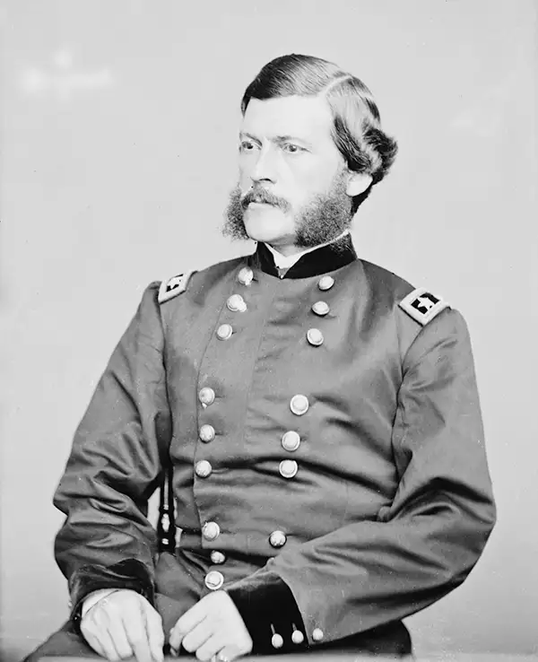
John Grubb Parke (September 22, 1827 - December 16, 1900) was a U.S. Army engineer, cartographer, and officer active in the American West after the Mexican-American War, later serving as a general in the U.S. Civil War. Parke was born in Chester County, Pennsylvania, and moved to Philadelphia with his family when he was 8. He attended West Point, graduating second in his class in 1849 and joining the Corps of Topographical Engineers. He conducted surveys in the central and western U.S., much of it newly acquired territory, including work on the Pacific Railroad Surveys. Some of his maps were the most detailed and extensive in existence when produced, such as his 1851 map of the New Mexico Territory. In 1857-61, he was the chief surveyor for a group tasked with designating a northwestern boundary of the U.S., long a sore issue in U.S.-British relations. Parke began the Civil War as a division commander in the Army of the Potomac and then served as Chief of Staff to General Ambrose Burnside, including during the battles of Antietam and Fredericksburg. He was then assigned to the Western Theater and participated in the Vicksburg Campaign. Parke then returned to Virginia, including a stint under Burnside again, through the culminating campaigns of the war. After the Civil War, he returned to his work as an engineer and topographer, including finalizing the U.S.-Canada border in the Pacific Northwest. Then he served as the Superintendent of West Point in 1887-89. He later worked as the director of several banks and was the president of the veterans' group, the Society of the Army of the Potomac. In June 1867, Parke married Ellen Blight (d. 1903), also of Philadelphia, the widow of a fellow topographical engineer who had died of disease during the Civil War; the couple had no children.
Most Important Early Map of the New Mexico Territory.
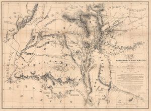
Map of the Territory of New Mexico...
sold
- Digital Map Information
- Suitable for large format printing
- Full resolution TIFF file
- ICC color profile embedded
- Delivered instantly via download link
This is the extremely rare, unpublished 1851 map of the Territory of New Mexico produced by John G. Parke and Richard Kern. Known as the Parke-Kern Map, it was printed within the War Department and separately issued on an individual basis but never included in a Congressional Report, as were other key early maps of the American West. The map was then reprinted several times in the late 19th and early 20th century with no obvious changes, but which can be distinguished from the original plate by very close examination. The present example is one of these later, c. 1900, reissues, which in themselves are still very rare. (more details)