
Rodgers, John R. (sold)
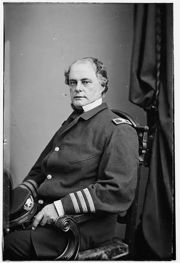
John R. Rodgers (August 8, 1812 - May 5, 1882) was a major figure in the naval history of the United States in the 19th century, known for his contributions to the U.S. Coast Survey among other accomplishments. His father was War of 1812 hero Commodore John Rodgers (1773 - 1838), making the younger Rodgers destined for a naval career. He entered the Navy as a midshipman in 1828 and spent over five decades in uniform. He was among an early batch of naval officers assigned to the Coast Survey as it tried to deliver on its aspirations to provide usable information to navigators. Beginning in 1836, Rodgers helped to chart New York Harbor. He was later assigned leadership roles in important surveys, including the hydrographic party tasked with mapping the notoriously hazardous, uncharted waters of the Florida peninsula. He was then appointed second-in-command of the North Pacific Exploring and Surveying Expedition (1853 - 1856). When the expedition's commander, Cadwalader Ringgold (1802 - 1867), fell ill, Rodgers was promoted to lead the fleet, overseeing the charting of vast, dangerous stretches of the China Sea, the Japanese archipelago, and the North Pacific, including the Bering Strait. Rodgers is widely celebrated for his efforts during the U.S. Civil War, where he oversaw the construction of ironclads and saw combat on the East Coast of the U.S., including near Richmond and in the Union siege and eventual recapture of Fort Sumter. After the war, he was promoted to Read Admiral and put in command of the Asiatic Squadron, commanding it during the 1871 punitive expedition against Korea. He later commanded the Mare Island Naval Shipyard in California and was appointed Superintendent of the U.S. Naval Observatory in Washington, D.C. Rodgers's family is one of the most esteemed in U.S. naval history; one of his sons became a Vice Admiral and another (also named John) was made a Commander and was a pioneer in naval aviation. Rodgers' brother married the daughter of Commodore Matthew Perry, while two of his nephews also became rear admirals.
Earliest Coast Survey Chart of Key West.
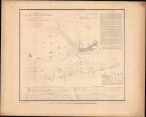
(Sketch F No. 5) Preliminary Chart of Key West Harbor and Approaches.
sold
- Digital Map Information
- Suitable for large format printing
- Full resolution TIFF file
- ICC color profile embedded
- Delivered instantly via download link
This is a rare separately issued example of the U.S. Coast Survey's 1851 nautical chart or map of Key West and environs. The chart was the result of a months-long effort to chart the Florida coast led by naval officer John R. Rodgers, who is credited here. (more details)