
Strype, John (sold)
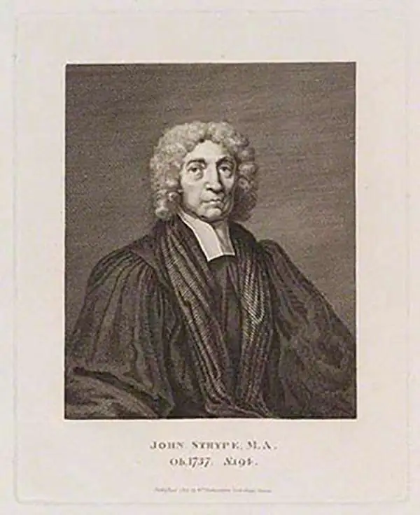
John Strype (November 1, 1634 – December 11, 1737) was a Huguenot clergyman, cartographer, biographer, and historian active in London during the late 17th and early 18th century. Like many Huguenots, Strype's family fled to England to escape religious prosecution in Brabant. They established themselves as textile merchants in Petticoat Lane – their street eventually became known as Strype Street. John was educated at St. Pauls School and later at Cambridge's Jesus College and St. Catherine's College. He lived most of his life in Leyton, north London, where he worked as a curate and lecturer of Leyton. He published numerous historical works relating to the Protestant Reformation. His most significant cartographic contribution his is c. 1720 republication of John Stow's Survey of the Cities of London and Westminster.
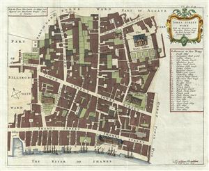
Tower Street Ward With its Division into the Parishes, Taken from the last Survey with Corrections.
sold
- Digital Map Information
- Suitable for large format printing
- DPI: 300
- File Size: 7.65 MB
- File Type: ZIP / TIFF
- ICC color profile embedded
- Delivered instantly via download link
A fine c. 1720 map of the Tower Street Ward, London, england by Richard Blome and John Strype. The map covers the region between and St. Mary's Hill and the Tower of London and from the Clothworkers Hall (still present) to the Thames River, including the gardens ... (more details)