
Van Keulen, Gerard
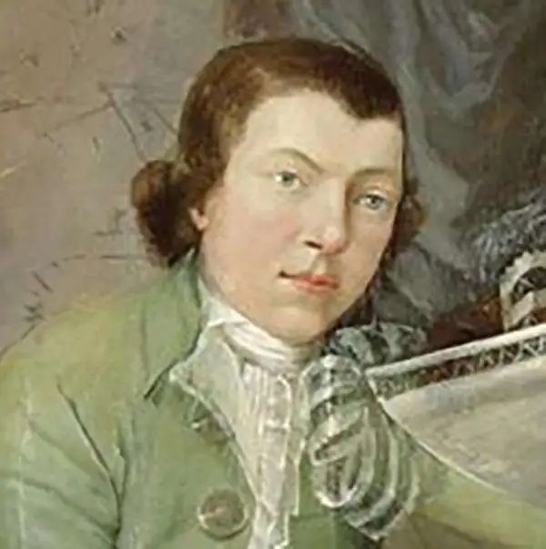
Gerard van Keulen (1678 - 1726) was a Dutch map publisher and engraver active in Amsterdam during the late 17th and early 18th centuries. Gerard was the son of the more famous Johannes Van Keulen (1654 – 1715) and eventually took over his father's business. He also negotiated to take over the Privilege of Willem Blaeu, thus becoming the official cartographer of the Dutch East India Company (VOC). He was married to Ludowina Konst (16??? - 1740). Gerard is credited with nearly 500 charts and maps published between 1706 and his death in 1726. He also continued to update and republish his family's legendary Zee-Fakkel, often described as the 'Secret Atlas' as it was restricted to VOC pilots. After his death, the firm was passed on to Gerard's son, Johannes II Van Keulen (1704 - 1755), who significantly updated the atlas. The final true Van Keulen editions of the atlas were published by Gerard Hulst Van Keulen (1733 - 1801), Johannes II's son. The final edition of the Zee-Fakkel was published posthumously in 1803. Afterward, the firm fell into the hands of the Swart family, who managed it for several generations until it finally closed its doors in 1885. It is noteworthy that though ostensibly controlled by the Van Keulen men, it was their widows who maintained and managed the firm in the periods following their husbands' deaths.
Rare, Detailed Corfu.
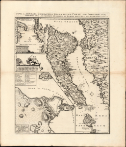
Nova et Accurata Geographica Tabula Insulae Corfu seu Corcyrae cum Confinis suis ac Portubus ex Adverso in Graecia Iacentibus. Auctore Joachimo Ottens Amstelodami.
$1,750.00
Acquire
- Digital Map Information
- Suitable for large format printing
- File Size: 25.62 MB
- File Type: ZIP / TIFF
- ICC color profile embedded
- Delivered instantly via download link
This is Joachim Ottens' rare, beautiful 1717 map of Corfu. It was published in the wake of the famous 1716 Siege of Corfu; the victory is alluded to with the decorative element of the Venetian Lion of Saint Mark, sword upraised while kicking aside an Ottoman scimitar and turban. Ottens' map proved the canonical mapping of Corfu for the rest of the century. (more details)
Rare updated chart of Florida's West Coast and Cuba.
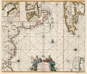
Pas kaart Van de Boght van Florida Met de Canaal Tusschen Florida en Cuba.
$2,500.00
Acquire
- Digital Map Information
- Suitable for large format printing
- DPI: 600
- File Size: 78.13 MB
- File Type: ZIP / TIFF
- ICC color profile embedded
- Delivered instantly via download link
This is a striking, original-color example of Gerard van Keulen's thoroughly updated 1723 version of 'the first sea chart of the eastern portion of the Gulf of Mexico detailing the west coast of Florida' (Burden). It is an exceptionally rare chart that appeared late in the van Keulen record, exhibiting meticulous and important revisions unique to this edition. (more details)