
Van Keulen, Gerard (sold)
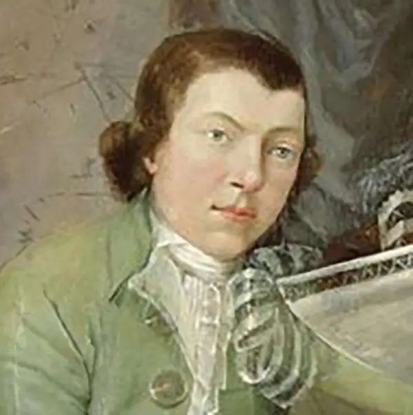
Gerard van Keulen (1678 - 1726) was a Dutch map publisher and engraver active in Amsterdam during the late 17th and early 18th centuries. Gerard was the son of the more famous Johannes Van Keulen (1654 – 1715) and eventually took over his father's business. He also negotiated to take over the Privilege of Willem Blaeu, thus becoming the official cartographer of the Dutch East India Company (VOC). He was married to Ludowina Konst (16??? - 1740). Gerard is credited with nearly 500 charts and maps published between 1706 and his death in 1726. He also continued to update and republish his family's legendary Zee-Fakkel, often described as the 'Secret Atlas' as it was restricted to VOC pilots. After his death, the firm was passed on to Gerard's son, Johannes II Van Keulen (1704 - 1755), who significantly updated the atlas. The final true Van Keulen editions of the atlas were published by Gerard Hulst Van Keulen (1733 - 1801), Johannes II's son. The final edition of the Zee-Fakkel was published posthumously in 1803. Afterward, the firm fell into the hands of the Swart family, who managed it for several generations until it finally closed its doors in 1885. It is noteworthy that though ostensibly controlled by the Van Keulen men, it was their widows who maintained and managed the firm in the periods following their husbands' deaths.
Remarkable flag chart with 2 Pirate Flags and the Globe Flag of New England.
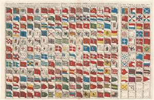
Schouw-park aller Scheeps-Vlaggen des geheelen Water-Waerelds… / Tableau des Pavillons de Meer, qui se trouvent dans tous les lieux du Monde Aquatique- Augmenté… / A New Table of all the Ships, collors or Ensigns in the Wholl Water World.
sold
- Digital Map Information
- Suitable for large format printing
- DPI: 300
- File Size: 25.07 MB
- File Type: ZIP / TIFF
- ICC color profile embedded
- Delivered instantly via download link
This is an extraordinary and exceedingly rare separate issue c. 1720 flag chart by Gerard van Keulen featuring the pirate flag of Christopher Moody, the Berber's Head Barbary pirate ensign, and the ephemeral New England Globe Flag, among other interesting pavillons ... (more details)
Van Keulen maps Quiri Regio.
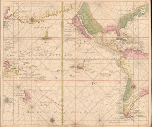
De Zuyd Zee [The South Seas].
sold
- Digital Map Information
- Suitable for large format printing
- File Size: 19.99 MB
- File Type: ZIP / TIFF
- ICC color profile embedded
- Delivered instantly via download link
A remarkable untitled c. 1720 Gerard van Keulen map of the Pacific and the Americas. The map is rich with fascinating content, reflecting the degree to which the Pacific remained a terra incognita well into the 18th century. Points of interest include California as an Island, a vast landmass named 'Terre de Compagnie' between America and Asia, and the mapping of the discoveries of Álvaro de Mendaña y Neira (Solomon Islands) and Pedro Ferdinand de Quiros (Quiri Regio). (more details)
The first map of the Balearic Islands based on firsthand knowledge.
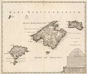
Baleares seu Gymnesiae et Pityusae insulae dictae Maiorca, Minorca et Yvica.
sold
- Digital Map Information
- Suitable for large format printing
- DPI: 600
- File Size: 55.98 MB
- File Type: ZIP / TIFF
- ICC color profile embedded
- Delivered instantly via download link
This is a superbly detailed map of the Balearic Islands by Renard and Josua Ottens, in what appears to be a scarce early state, as early as 1720. The map is oriented to the north, and includes the major islands of Mallorca, Menorca, Ibiza, and Formentera as well as the smaller Cabrera, Dragonera, and Monte Colibre. Mallorca and Menorca, in particular, are superbly detailed. All the major islands' terrain is richly and expertly engraved, illustrating topography, forests, and cultivated areas pictorially. Roads, cities, salt flats, and fortifications are depicted. Anchorages are indicated, in several cases with depth soundings. The elegant, spare cartouche features a brief history of the rulers of the islands, up to the English capture and occupation of Menorca in 1708. (more details)
First map of the Balearic Islands based on firsthand knowledge.
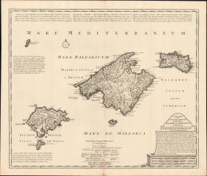
Baleares seu Gymnesiae et Pityusae insulae dictae Maiorca, Minorca et Yvica.
sold
- Digital Map Information
- Suitable for large format printing
- Full resolution TIFF file
- ICC color profile embedded
- Delivered instantly via download link
This is a superbly detailed c. 1725 map of the Balearic Islands by Renard and Josua Ottens. It draws on earlier maps by Johannes van Keulen and the local scholar Vicente Mut i Armengol, while adding notes on the islands' history and quotes from classical texts, providing a comprehensive overview. (more details)