
Wáng Jūnfǔ (sold)

Wáng Jūnfǔ (王君甫, fl. c. 1650 – 1680) was a Chinese printer and publisher active in the 17th century and based in Suzhou, China. His work suggest that he may have been a Ming loyalist. He produced only two known maps.
The Ming and the Myriad Countries.
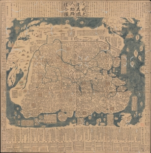
大明九邊萬國人跡路程全圖 / [Complete Map of the Nine Border Crossings of the Great Ming and of the Routes and Settlements of the Myriad Countries].
sold
- Digital Map Information
- Suitable for large format printing
- Full resolution TIFF file
- ICC color profile embedded
- Delivered instantly via download link
An extraordinary 1663 xylographic map of Ming China, and indeed the world by Wang Junfu (王君甫), issued in the second year of the reign of the Kangxi Emperor (r. 1661 – 1722) of the Qing Dynasty. Among other features, it is notable for being dated after the Qing had already displaced the Ming and established a new dynasty, suggesting that it was surreptitiously published and circulated among Ming Loyalists. (more details)
The last great cartographic masterpiece of Ming China.
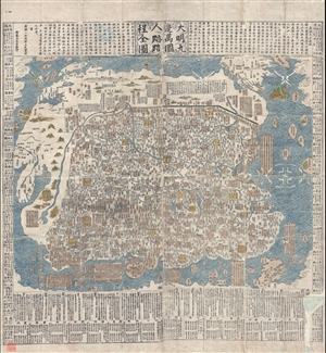
Complete Map of the Nine Border Towns of the Great Ming and of the Human Presence and Travel Routes of the Ten Thousand Countries. / 大明九邊萬國人跡路程全圖 / Dàmíng jiǔ biān wànguó rén jì lùchéng quán tú.
sold
- Digital Map Information
- Suitable for large format printing
- DPI: 300
- File Size: 70.8 MB
- File Type: ZIP / TIFF
- ICC color profile embedded
- Delivered instantly via download link
A rare and extraordinary 1663 (Kangxi 2) xylographic map of Ming China, and indeed the entire world, by Wáng Jūnfǔ (王君甫) issued during the reign of the Kangxi Emperor (1661 – 1722). This massively proportioned map focuses on China, which, bounded on the ... (more details)
The last great cartographic masterpiece of Ming China.
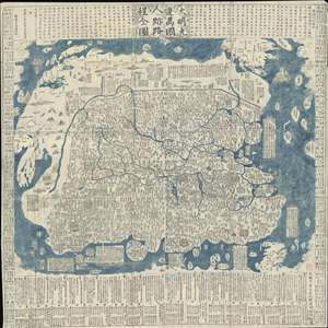
Complete Map of the Nine Border Towns of the Great Ming and of the Human Presence and Travel Routes of the Ten Thousand Countries. / 大明九邊萬國人跡路程全圖 / Dàmíng jiǔ biān wànguó rén jì lùchéng quán tú.
sold
- Digital Map Information
- Suitable for large format printing
- Full resolution TIFF file
- ICC color profile embedded
- Delivered instantly via download link
A rare and extraordinary 1663 (Kangxi 2) xylographic map of Ming China, and indeed the entire world, by Wáng Jūnfǔ (王君甫) issued during the reign of the Kangxi Emperor (1661 – 1722). This massively proportioned map focuses on China, which, bounded on the ... (more details)